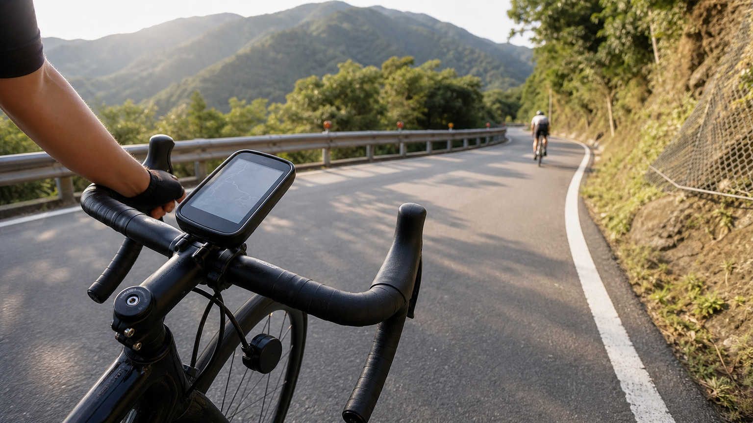
Bike Computer GPS Accuracy Test: Track and KOM Climb Accuracy
The distance, elevation gain, and speed data on your bike computer affect our training analysis and Strava rankings. But how accurate are these numbers? This article analyzes GPS accuracy from a technical perspective and examines measurement errors in common bike computers.
How GPS Works: A Brief Introduction
GPS (Global Positioning System) calculates position by receiving signals from multiple satellites, with a theoretical accuracy of about 3-5 meters. In real-world use, however, several factors can affect it:
- Building obstruction: Urban canyon effects cause signal reflection and drift
- Tree cover: Signal degradation on forested mountain sections
- Update frequency: 1-second vs. Smart 1-second vs. multi-system fusion
- GNSS systems: Number of GPS, GLONASS, Galileo, and BDS satellites used
- Chipset quality: Accuracy varies among MediaTek, Sony, u-blox and other chipsets
Dual-Band GPS
Starting in 2021, high-end bike computers began supporting dual-band GPS (L1 + L5 frequencies). Compared to single-band GPS:
- Accuracy improves by more than 50% in urban canyons
- Multipath errors are significantly reduced
- More accurate ride tracks in Taiwan’s metropolitan areas
Bike computers with dual-band GPS support: Garmin Edge 840/1040, Wahoo ELEMNT ROAM V2 (latest version), COROS PACE 3
Distance Accuracy
Testing Methods
Riders typically compare distance accuracy in two ways:
- Comparing against a standard course of known distance
- Comparing against a wheel speed sensor (more accurate)
- Comparing multiple bike computers on the same route
Common Results
| Bike Computer Type | Distance Error | Notes |
|---|---|---|
| With wheel speed sensor | < 0.5% | Most accurate, calculated from wheel circumference |
| Dual-band GPS bike computer | 0.5-1.5% | Best current GPS accuracy |
| Standard GPS bike computer | 1-3% | More affected by environment |
| Phone GPS | 2-5% | Even less accurate in battery-saving mode |
Conclusion: For riders with strict distance accuracy requirements (such as KOM verification), pairing a wheel speed sensor is recommended.
Elevation Gain Accuracy
Elevation gain (Total Ascent/Elevation Gain) is one of the data points with the largest errors. There are two calculation methods:
GPS Barometric Altimeter
High-end bike computers use a barometric altimeter (barometer) rather than pure GPS-derived elevation:
- Accuracy of approximately 1-3 meters
- Affected by changes in atmospheric pressure (data may deviate before and after typhoons)
- Requires manual or automatic calibration
Pure GPS Elevation
Uses GPS satellite triangulation to calculate elevation:
- Vertical accuracy of approximately 5-15 meters (worse than horizontal accuracy)
- Suitable for gentle slopes; steep sections tend to accumulate errors
Real-World Test Differences
Using Wuling (elevation gain approximately 3,100-3,275m, depending on the starting point) as an example, different bike computers may display:
- Barometric bike computer: 3,150-3,200m (close to actual)
- Pure GPS bike computer: 2,900-3,400m (error can reach ±10%)
Important: KOM climb times (such as the Wuling KOM on Strava) are calculated by time and are not affected by elevation errors; however, total elevation gain figures may differ significantly between bike computers.
Speed and Power Data
Speed Data
The real-time speed displayed on a bike computer is calculated in two ways:
- GPS-calculated speed: Distance difference ÷ time, affected by GPS accuracy, with more fluctuation at low speeds
- Wheel speed sensor: Wheel revolutions × wheel circumference, more stable and accurate
On high-speed descents, GPS and wheel speed sensors are usually close; on low-speed climbs, GPS speed may fluctuate more.
Pairing with a Power Meter
A power meter is the most accurate source of training data, with errors typically within 1-2%. When paired with a bike computer, GPS accuracy issues mainly affect distance and elevation, not power-based training analysis.
Practical Recommendations
Ways to Improve GPS Accuracy
- Wait for satellite lock after powering on (3 minutes or more) before starting
- Choose Every Second recording mode (rather than Smart Record)
- Enable all satellite systems (GPS+GLONASS+Galileo)
- Pair a wheel speed sensor to improve distance accuracy
- Calibrate the barometer regularly (using known elevation points, such as sea-level calibration in the bike computer settings)
KOM Application Notes
Strava’s KOM system compares GPS tracks against time. The following situations may cause a KOM to be rejected or invalidated:
- GPS track deviates significantly from the route
- Speed suddenly shows unreasonable numbers (GPS drift)
- Recorded elevation gain severely mismatches Strava’s terrain data
Bike Computer Recommendations (GPS Accuracy Priority)
| Need | Recommended Bike Computer | Key Features |
|---|---|---|
| Highest accuracy | Garmin Edge 1040 Solar | Dual-band GPS + barometer |
| Best value | Garmin Edge 840 | Dual-band GPS, mid-size screen |
| Lightweight riding | Wahoo ELEMNT BOLT V2 | Single-band GPS but stable performance |
| Budget constraint | Garmin Edge 130 Plus | Entry-level, acceptable accuracy |
Conclusion
GPS data is not perfect, but understanding the sources of error can help you interpret training data correctly. For riders seriously pursuing Strava KOMs, investing in a dual-band GPS bike computer and a wheel speed sensor is worthwhile. For general training, the accuracy of modern GPS bike computers is already sufficient for analysis and progress tracking—there’s no need to obsess over minor differences.
Related Reading
- GPS and Power Meters: The Data Revolution in Modern Cycling Technology
- GPS Bike Computer Buying Guide: Garmin vs Wahoo vs Bryton Complete Comparison
- GPS Watch Pacing Errors and Calibration: Making the Numbers Closer to Reality
- Why Do Two Watches Show Such Different Total Elevation Gain? A Complete Analysis of GPS and Elevation Data Accuracy
超開放的自行車錶!可以玩遊戲裝APP!?/ SRAM合併的 Hammerhead Karoo深入開箱!/ 即時爬坡偵測 / 全球導航地圖 / Garmin Bryton / CT Yeh
1 年前
車錶新黑馬? / 超狂續航 / 超好用錶冠 / 無敵準定位 / Dash圖表合成!?/ COROS DURA 評測!/ 公路車 / CT Yeh
2 年前
2025 自行車錶排行榜 兩萬車友大數據 / Garmin Bryton 排名會大洗牌嗎? / 全新的碼表前身分析 /公路車 / CT Yeh
1 年前
Garmin Edge 540/840 Solar 台灣首發開箱!完整車錶功能 道路實測 / ClimbPro 爬坡提示超級牛 / 強大續航實測 / 公路車 / CT Yeh
3 年前
2026 車錶排行榜!誰是最多車友正在使用?練家子最愛哪款?🏆 (2萬名車友數據) / 公路車 / CT Yeh
5 個月前
#公路車 #Fitting 靠人工智慧APP 幫你調整單車
6 年前
高雄綠園道鐵路自行車道 / 外地人能輕鬆駕馭 還是整路崩潰? / 2025 全線開通 春節實地探索一次!(附GPS連結)/ 公路車 / CT Yeh
1 年前
大家都在開箱的...單車用藍芽對講耳機真的有幫助嗎? SENA BiKom 20 長距離旅遊 & 海鷗繞圈賽 實際體驗心得 / 公路車 / CT Yeh
9 個月前