Ring Island Route 1, Southern Section: Conquering the Nanhui Highway Mountain Pass from Fengang to Taitung
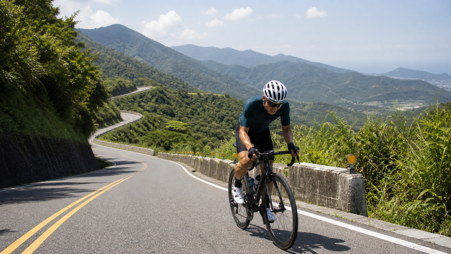
The Last Big Mountain of the Loop
Riding counterclockwise around the island, once you reach Fengang in Pingtung, you must cross the Nanhui Highway (Provincial Highway 9) to enter Taitung. From Fengang via Shoukah to Taitung is about 110 km, with the high point at Shoukah sitting at roughly 450 m elevation. The altitude itself isn’t extreme, but this is the only section on the entire loop that requires a genuine mountain crossing, and with supply points few and far between, it’s often called the “final boss” of the Ring Island route.
Segment Data
| Segment | Distance | Cumulative Climb | Supply Situation |
|---|---|---|---|
| Fengang → Shoukah | 22 km | ~500 m | Almost no supplies after Fengang |
| Shoukah → Daren | 25 km | Mostly downhill | No shops in the mountains |
| Daren → Taitung | 63 km | Gentle rolling terrain | Supplies resume after Dawu |
The Truth About Shoukah
The Shoukah Cycling Station is a well-known photo spot, but the station itself has limited supplies. What really matters is the 22 km stretch from Fengang to Shoukah — a continuous climb, no shade, brutally hot in summer. Make sure to fill up with at least two bottles of water and enough calories in Fengang. The climb itself is only 500 m, but under the blazing sun its difficulty is multiplied several times over.
Precisely Calculating Water Needs from Fengang to Shoukah
This 22 km stretch is the section on the entire Ring Island route where you most need to carefully calculate your water intake. At midday in summer, the road surface here can exceed 40°C, with no tree cover and no supply points — underestimating water needs is a common cause of heatstroke and cramping among newcomers. Rough estimate: on a hot, long climb you sweat about 0.8 to 1.2 liters per hour, and most riders take 1.5 to 2.5 hours to complete Fengang to Shoukah, meaning you should carry at least 2 liters of water plus one packet of electrolytes. Practical setup: two large bottles of 750 ml each (one plain water, one with electrolytes), plus a small extra bottle in your jersey pocket or vest. Bring at least two energy gels or one energy bar (about 400–500 kcal) for food, and don’t wait until you’re hungry to eat. Your departure time is another critical variable — it directly determines whether you’ll be caught under that midday blade of sun.
Dawu to Taitung
After cresting Shoukah, it’s mostly downhill to Dawu, where supplies become available again. From Dawu to Taitung is about 60-plus km of gentle rolling terrain along the Pacific coast. Riding into a headwind here can feel exhausting, so it’s wise to break the ride into segments and use Jinzhen Mountain in Taimali as a psychological milestone.
Safety Notes
After the Nanhui Highway realignment opened, some of the new sections include long tunnels with fast-moving traffic. Cyclists must use the designated old route or watch for signage — do not accidentally enter the expressway-grade sections. Mountain afternoon thunderstorms are common, so control your speed on wet, slippery descents.
Right-of-Way and Routing After the Nanhui Highway Realignment
After the Nanhui Highway realignment opened, some newly built sections (including long tunnels and elevated roadways) are expressway-grade and off-limits to bicycles. Cyclists must take the designated old Provincial Highway 9 mountain-crossing route (the traditional path via Shoukah). Practical tip: signage at junctions directs large vehicles onto the new route and bicycles onto the old route — read the signs carefully and never enter the expressway-grade section just because “the new road looks easier to ride.” This is a serious violation from both an enforcement and safety standpoint. The old route is steeper, but it’s exactly the classic Ring Island path that passes through the Shoukah Cycling Station. Checking the latest announcements from the highway authority before you set out is essential homework for this section.
Timing Strategy
It’s strongly recommended to depart from Fengang between 5 and 6 a.m., aiming to crest Shoukah before noon to avoid the midday heat and afternoon thunderstorms. In summer, the road surface on this section can exceed 40°C at midday — departing early is the single most effective decision for avoiding heatstroke.
Shoukah doesn’t scare you with its altitude — it scares you with the sun. When you’re on that shadeless climb wanting to give up, remember: the story of the Ring Island route is written in places exactly like this, where no one is watching.
Related Reading
- Shoukah to Xuhai Route Guide: A 19.9 km Long-Distance Challenge Connecting the Hengchun Peninsula from Nanhui’s Highest Point
- The Nanhui Highway Section: Experiencing Where Mountain Meets Sea from Taitung to Pingtung
- From Shoukah to Xuhai: A Ride Memory of Crossing Nanhui’s Highest Point Toward the Ocean
- The Complete Guide to Ring Island Supply Points and Accommodation
台北闊瀨陡坡 騎旅 / 日本單車雜誌編輯車友臨時加入!/ 髮香才是最強的 / feat. 北迴歸線小隊 / 公路車 CT Yeh
6 個月前
大武山20%魔王陡坡【JJSC南台灣遊騎Day2】!屁股真的要裂開了...凡士林抹滿也沒用?神秘金教堂還有超便宜夜市
3 個月前
大武山後門26%歡樂陡坡!JJSC南台灣單車行Day2 / 被颱風追著跑 / 公路車 / CT Yeh
2 年前
嘉義大埔、阿婆灣挑戰賽,美到以為在日本!ft. 環騎5 Cool 西拉雅188 / 公路車 / CT Yeh
7 個月前
山道猴出沒!? JJSC屏東單車行 Day1 一直催 / 皮卡丘來了!/ 墾丁 旭海 恆春 社頂 / 公路車 / CT Yeh
2 年前
水金九不厭五分 10度寒流冷到不願停!feat. 卡卡 / 公路車 / CT Yeh
6 個月前
爬坡ITT實境)台中 魔王 松鼠坡 首航 6:12 大肚山 大三元 科福路
8 年前
微東進 太魯閣 蘇花 單車兩日遊 ! 颱風過後路況超刺激 行程大亂 | 最狂的鹹酥雞訂單 | CT Yeh | 4K 高畫質空拍絕景!
4 年前