Introduction
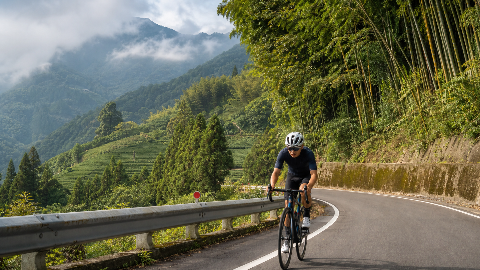
The Alishan Highway is one of Taiwan’s roads with the greatest elevation gain, starting in downtown Chiayi and winding up Provincial Highway 18 to the Alishan Recreation Area at an elevation of 2,600 meters. The full route is about 75 kilometers long with over 2,400 meters of climbing. Known for its consistent gradient and richly layered scenery, the route takes riders from the Chianan Plain, through bamboo groves and tea-covered hills, and finally into a mist-shrouded cypress forest — a complete cross-section of Taiwan’s mountain landscape on two wheels.
Route Segment Breakdown
| Segment | Distance | Elevation Gain | Average Gradient | Difficulty | Landmarks |
|---|---|---|---|---|---|
| Chiayi City → Zhuqi | ~14 km | ~150 m | ~1.1% | Easy | Zhuqi Riverside Park |
| Zhuqi → Fenqihu | ~25 km | ~1,100 m | ~4.4% | Moderate | Longtou Mountain, Fenqihu Old Street |
| Fenqihu → Shizhuo | ~15 km | ~500 m | ~3.3% | Moderate | Tea plantation scenery |
| Shizhuo → Alishan | ~21 km | ~700 m | ~3.3% | Moderately Hard | Sister Ponds, Xianglin Sacred Tree |
| Full Route | ~75 km | ~2,450 m | ~3.3% overall | Moderately Hard |
Zhuqi: Where the Plains Meet the Mountains
Zhuqi is the last major town in the plains area of Chiayi County. Past Zhuqi, the terrain begins to climb noticeably. Zhuqi is also the starting point of the Alishan Forest Railway (Zhuqi Station) — the historic mountain railway that climbs from the lowlands all the way to the summit, one of Taiwan’s most unique mountain railways.
Zhuqi Market has plenty of breakfast stalls and is the last spot on the route with a wide variety of food options, so it’s a good idea to eat a hearty meal here before starting the real climbing.
Fenqihu: The Most Charming Rest Stop Along the Way
Fenqihu is a midway station on the Alishan Forest Railway, sitting at roughly 1,400 meters elevation, and serves as the golden midpoint of the ride. Despite its name meaning “basin lake,” it’s actually a basin surrounded by mountains on three sides. In the old days, steam locomotives on the Alishan railway stopped here to take on water and swap engines, which gave rise to a thriving mountain-town culture.
Fenqihu Old Street preserves wooden buildings from the Japanese colonial era, and the “Fenqihu Bento” sold here is a classic representative of Taiwan’s railway lunchboxes — a simple aluminum box filled with braised pork, stewed egg, and pickled vegetables. Humble as it is, it’s a shared memory for countless Taiwanese. Stopping here for lunch and letting your legs stretch out on the old street’s stone pavement is one of the most delightful rituals of the Alishan climb.
Shizhuo to Alishan: The Final Challenge Through the Cloud Forest
Past Fenqihu heading toward Shizhuo, the gradient eases somewhat, and large high-mountain tea plantations begin to appear on both sides of the road — this area is a major production zone for Alishan Oolong tea. The terraced tea gardens are beautiful, especially in the early morning when mist drifts through them.
After Shizhuo, the road is gradually enveloped by tall Taiwan cypress and fir forests, and the temperature drops noticeably (10 to 15 degrees cooler than Chiayi City), so a light jacket is recommended. The final twenty kilometers aren’t the steepest, but accumulated fatigue combined with the effects of lower oxygen make it a serious physical challenge. It’s a good idea to stock up on food and water at the Shizhuo gas station.
Alishan Recreation Area: The Reward for Arrival
Once you reach the Alishan Recreation Area, the clear waters of the Sister Ponds, the thousand-year presence of the Xianglin Sacred Tree, and the spectacular sea of clouds at Zhushan are the best rewards after the climb. If time allows, take a walk through the recreation area and breathe in the phytoncides of the cypress forest to recharge both body and mind.
Practical Tips
Getting Back Down
- Most riders choose to cycle up and take the bus back down (the Chiayi Bus Alishan Line). A descent of over 70 kilometers with a 2,400-meter elevation drop puts tremendous strain on both your brakes and your body, so riding down without adequate preparation is not recommended.
Warm Clothing
- The temperature at the summit of Alishan is about 15 degrees cooler than the lowlands, so a light long-sleeve layer is recommended even in summer.
- Afternoon mist and drizzle are common at the summit, so bring a waterproof jacket.
Supply Points
- Zhuqi (market), Fenqihu Old Street (bento boxes), Shizhuo (gas station convenience store), Alishan (recreation area shops).
Conclusion
Riding the Alishan Highway is a long journey you declare to yourself. Those seventy-five kilometers and 2,400 meters of climbing are never an impulsive decision made on a whim one morning — they demand advance preparation and full respect for the mountain challenge ahead. When you finally see the Alishan road sign appear through the mist, that sense of accomplishment isn’t just muscular pride — it’s a profound tribute to Taiwan’s mountains and forests.
Related Reading
- Chiayi Alishan Highway: The Complete Guide to the Long-Distance Climb from Zhuqi to Alishan
- Alishan Highway Cycling Challenge: A Magnificent Climb from Chiayi to Alishan
- Alishan Highway Cycling Challenge: The Climb from Chiayi to Alishan
- Chiayi Alishan Highway (Provincial Highway 18): A Climbing Challenge from the Plains to the Clouds
梅山36彎 奮起湖 單車挑戰 下集 #公路車
6 年前
4K單車實境) 嘉義 梅山36灣 訓練台 爬坡 輕鬆騎
6 年前
嘉義單車路線推薦:碧湖山茶園超陡坡挑戰!里佳部落-奮起湖-瑞峰 (附路線)
7 個月前
一定要騎一次!阿里山最深處:里佳部落!單車旅行 | 2800m爬升 | 深度部落體驗:嗨翻晚會、螢火蟲、銀河 | feat. JJSC & 廢物伙伴 | 公路車 CT Yeh
9 個月前
里佳部落 阿里山單車深度旅遊! | 竹山/草嶺/來吉/奮起湖 | 無敵銀河絕景 全新路線探索! 驚險狀況百出! | 4K沉浸式畫質 | 公路車 | CT Yeh
3 年前
梅山36彎 奮起湖 #公路車 之旅 2400m
6 年前
半日 小台灣 極限單車路線挑戰實錄
7 年前
阿里山塔塔加 兩倍特濃版!全新隧道開通! 進喔!公路車 | CT Yeh
3 年前