Cycling Around Taiwan: Clockwise vs Counterclockwise — Wind, Elevation, and Resupply Differences
Introduction
“Are you going clockwise or counterclockwise?” This is one of the most common questions Taiwanese cyclists ask each other. While both routes circle the entire island, the direction changes the order of scenery and, most importantly, the wind and elevation profiles are completely reversed. This article compares the two directions from three perspectives—weather, terrain, and resupply—to help you find the best choice for you.
Taiwan Wind Patterns Basics
Taiwan’s seasonal wind patterns are roughly as follows:
| Season | Prevailing Wind | Impact on Cycling Around the Island |
|---|---|---|
| Spring (Mar–May) | Gradually shifts from northeast to southwest winds | Transition period; both directions are viable |
| Summer (Jun–Sep) | Southwesterly monsoon dominates | Northbound section on the east coast is more downwind |
| Autumn (Oct–Nov) | Northeast monsoon strengthens | Southbound on the east coast and northbound on the west coast are more favorable |
| Winter (Dec–Feb) | Strong northeast monsoon | Not a recommended season for beginners cycling around the island |
Conclusion: Most experienced cyclists recommend departing in late spring to early summer (Apr–Jun), when temperatures are moderate, the southwest monsoon has not yet fully established, and wind conditions are acceptable in both directions.
Clockwise Direction (North→East→South→West→North)
Route Logic
Starting from Taipei, head down the east coast, pass through Taitung and Pingtung, then turn onto the west coast, and finally return to Taipei via Taoyuan.
Advantages
- Suhua with mostly descents: The Suhua Highway from Yilan heading south to Hualien trends downhill overall, making it relatively less challenging
- Sun at your back on the east coast: Riding the east coast in the morning, the sun is behind your left shoulder, giving clear visibility without glare
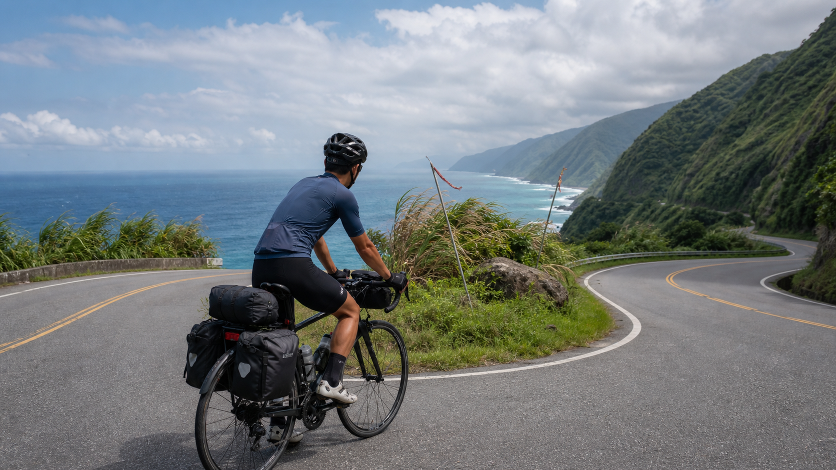
- Coastal cliff scenery: Riding south along the Suhua from north to south, cliffs on your left and the ocean on your right—the strongest visual impact
- Southwest wind assist on the westbound return (when departing in summer)
Disadvantages
- In autumn and winter, the northeast monsoon blows head-on from the front, and the section from Taiwan’s northeast corner to Yilan will face strong headwinds
- When heading south through the Suhua Highway tunnels, the tunnel lighting direction is less favorable
Counterclockwise Direction (North→West→South→East→North)
Route Logic
Starting from Taipei, head west into the western plains, ride south along the coast or inland routes, pass through Pingtung and Taitung, then return north along the east coast.
Advantages
- Western section serves as a “warm-up”: Ride the relatively flat west coast in the first week to let your body adapt to long distances before tackling the mountainous east coast challenges
- Autumn/winter northeast wind assists the east coast return: When riding back up Taiwan’s east coast, the northeast monsoon pushes from behind, saving 15–20% effort
- Spectacular Suhua northbound section: Riding the Suhua from south to north, gradually approaching Taipei gives a psychological boost of “getting closer and closer”
Disadvantages
- The western section can feel monotonous due to the flat landscape, and beginners may experience mental fatigue prematurely
- On the Suhua northbound section in summer, strong southwest winds can create headwinds, especially on the Taitung to Chenggong stretch
Elevation Comparison
The two directions differ fundamentally on the major climbing sections:
- Suhua Highway: Southbound (clockwise) has more descents overall; northbound (counterclockwise) has more cumulative climbing, but also offers a magnificent “sense of arrival”
- South Link Highway: The forward direction from Taitung to Pingtung (clockwise) climbs first then descends all the way; the reverse direction enjoys the descent first before facing the climb
- Central Mountain Route: If you choose Provincial Highway 14A or 21, both directions involve major climbs—direction makes little difference
Resupply Strategy Differences
Resupply points on Taiwan’s east coast are far sparser than on the west coast, especially:
- Suhua Highway: The longest stretch without resupply is 30 km (Dong’ao to Nan’ao section)
- South Link Highway: The Jinlun to Fangshan section has almost no convenience stores for 40+ km
Regardless of direction, on the eastern sections you need to stock up on water and food in advance at every convenience store or temple resupply point. Never underestimate this.
Practical Advice
- Depart in spring/summer, choose clockwise: Enjoy the downhill sections on the east coast, with southwest wind assistance on the westbound return
- Depart in autumn, choose counterclockwise: The northeast wind becomes your ally when returning north on the east coast
- Beginners are recommended to go counterclockwise: Warm up on the west coast first; ride the flat sections when your body is at its worst, and take on the eastern challenges when you’re at your best
- If your schedule allows, either works: Ultimately, direction choice affects the route itself by no more than 20%—what matters is getting started
Conclusion
Clockwise or counterclockwise, there is no absolute right answer—only “the best choice for the moment.” After understanding the wind, elevation, and resupply distribution, make your decision based on your departure season and physical condition, then just go. Taiwan is waiting for you to ride around it.
Related Reading
- Counterclockwise vs Clockwise Cycling Around Taiwan: A Complete Comparison of Wind, Elevation, and Traffic Flow
- Counterclockwise vs Clockwise Around the Island: Difficulty and Scenery Differences Between the Two Directions
- Complete Difference Analysis: Riding the Island Loop in Reverse vs Standard Direction
- Taiwan Cycling Route Planning: Choosing Between Clockwise and Counterclockwise