Introduction
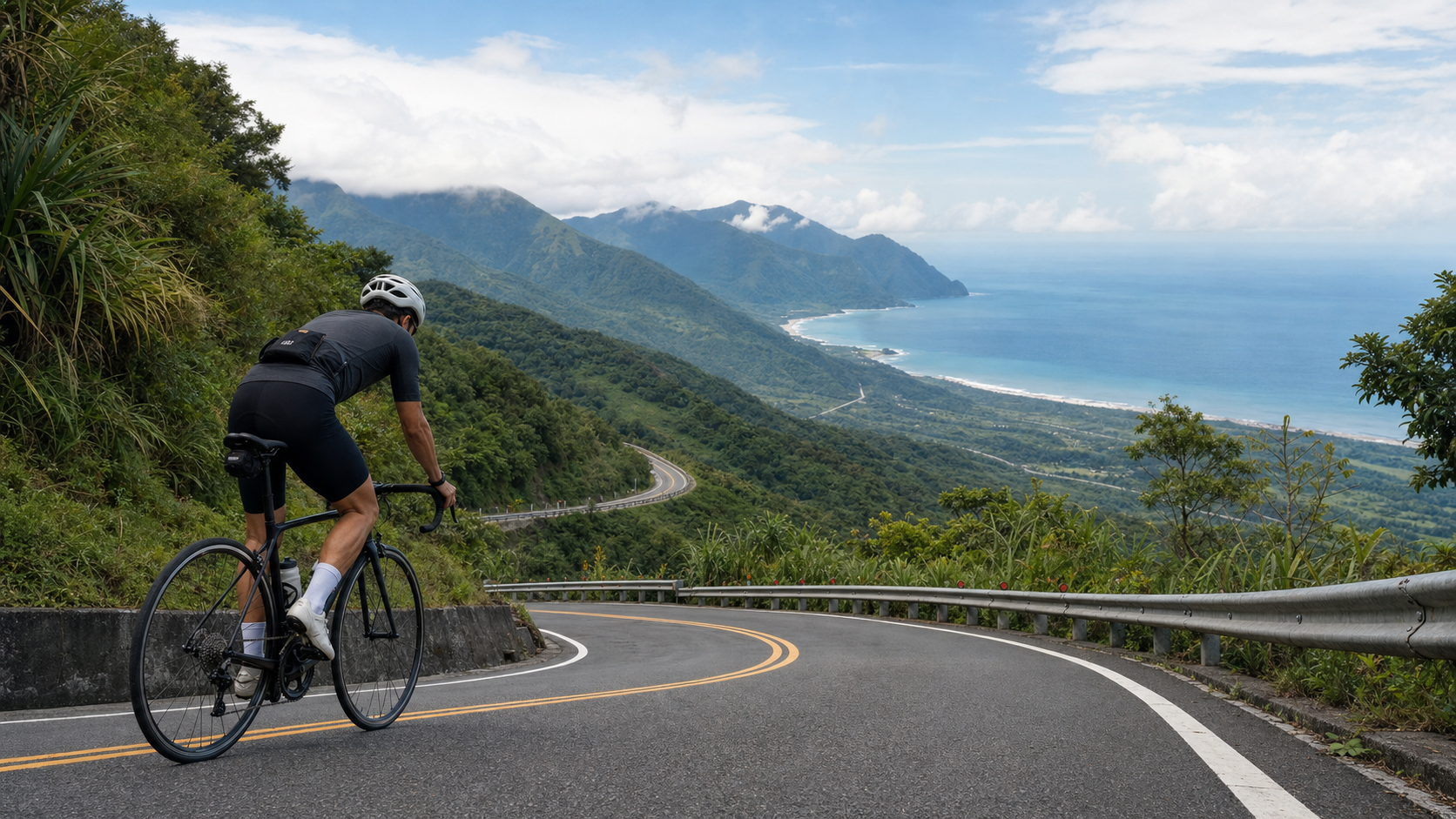
The Nanhui Highway (the Zhiben-to-Fengang section of Provincial Highway 9), roughly 102 km long, is one of the few segments of Taiwan’s round-island route that truly penetrates the mountains. Unlike the dramatic sea cliffs of the Suhua Highway, the Nanhui offers a quieter kind of beauty — forests, mist, mountain streams, and occasional distant views of the Pacific Ocean. Once you finish riding the Nanhui, you’ll discover that the southern tip of Taiwan has a rugged, primal charm all its own.
Terrain Overview of the Nanhui Highway
The Nanhui Highway starts from Zhiben in Taitung and crosses the southern ridge of the Central Mountain Range’s “South Cross-Island” spur. The highest point sits around the Jinlun-to-Shoka area, at an elevation of nearly 400 meters, before descending all the way down to Fengang in Pingtung.
| Segment | Distance | Elevation Change | Difficulty |
|---|---|---|---|
| Zhiben → Jinlun | ~25 km | Gradual rise to 150m | Low |
| Jinlun → Shoka | ~25 km | Climb to 380m | High |
| Shoka → Fengang | ~50 km | Steep drop to sea level | Medium (descent pacing) |
| Fengang → Fangliao | ~15 km | Flat coastal road | Low |
Shoka Pass is the high point of the Nanhui Highway and one of the psychological milestones of a round-island ride. Standing at Shoka, you can see the Pacific Ocean to the east and the Taiwan Strait to the west — on a clear day, both oceans come into view at once.
Key Segments in Detail
Zhiben to Jinlun: The Warm-Up Section
Starting from Zhiben in Taitung, the road rises gently along the coast. As you pass near the entrance to the Alangyi Ancient Trail, you’ll start to sense the mountain atmosphere setting in. Jinlun Hot Springs is the last town-level resupply point, so be sure to:
- Stock up on food and water (at least 2 liters)
- Check your tire pressure
- Soak your feet in the Jinlun hot springs if needed (worth planning if you arrive in the afternoon)
Past Jinlun, resupply points drop off sharply, and you’ll find almost no convenience stores until you reach Fengang in Pingtung.
Jinlun to Shoka: The Toughest Section of the Nanhui
This 25-km stretch is the core challenge of the Nanhui Highway. Gradients mostly run between 4–7%, with some sharp switchbacks reaching 10%, for a total climb of about 230 meters.
- The final 10 km before Shoka: A series of continuous bends through lush green forest, with occasional waterfalls crossing the road
- Resupply strategy: There are no convenience stores along this entire stretch, so carry enough food from Jinlun — 3–4 energy bars and 2 bananas are recommended
- Estimated time: 2.5–4 hours for the average rider, not including rest stops
Shoka to Fengang: The Fast Descent
Once you crest Shoka Pass, the road drops away quickly. This descent is thrilling, but it carries real risk:
- The bends are frequent and sharp — keep your speed under control throughout, and stay below 40 km/h on the descent
- Some sections have no guardrail, with a valley dropping away on your left, so stay focused
- Toward the end of the descent, the road flattens out as Highway 9 meets Highway 1 heading toward Fangliao
Roadside Culture in the Indigenous Communities
The Nanhui Highway passes through several Paiwan and Rukai communities, including:
- Jinlun: The main settlement of Daren Township, with displays of traditional Paiwan craftsmanship
- Tuban: Home to the famous “Tuban Five-Year Ceremony,” a community rich in cultural heritage
- Dawu: A small town along Highway 9 with a police station, a health clinic, and a handful of small shops
Weather and Safety Notes
- Typhoon-sensitive stretch: The mountainous Nanhui area carries a high risk of rockfall before and after typhoons — check real-time road conditions via the provincial highway map app or the Directorate General of Highways website
- Watch for heavy fog: The Shoka area sits at higher elevation, and dense fog is common in the early morning and evening — make sure your front and rear lights are on
- Summer afternoon thunderstorms: Afternoon thunderstorms are frequent in the Nanhui mountains during summer — aim to pass Shoka before 12:00 noon and reach Fengang before 2:00 PM
Practical Tips
- Split the ride if needed: If your stamina is limited, you can take the local train from Taitung to Dawu before starting your ride, shortening the flat northern section and saving your energy for Shoka
- Ride light: Every extra kilogram on the Nanhui climbs means extra suffering — send unnecessary luggage ahead from the Jinlun convenience store before tackling the climb
- Don’t rush: The view from the top of Shoka is the greatest reward of the Nanhui — sit down, have a snack, and take your time enjoying it
- Check your mechanical condition: Make sure your brake pads have enough material before the descent — the drop from Shoka is long and steep, and brake failure would be a serious problem
Conclusion
The Nanhui Highway doesn’t carry the fame of the Suhua Highway, but it has its own quiet, distinctive charm. The forests, the mist, the indigenous communities, and that moment at the top of Shoka when you can see both oceans at once — this road doesn’t offer excitement so much as a deep sense of fulfillment. Once you finish the Nanhui, you’ll have crossed the hardest mountain section of your round-island journey. What comes next is the welcome of sea and plains.
Related Reading
- Southern Coastal Route of Taiwan: Riding the Pacific Coast from Fangliao, Pingtung to Zhiben, Taitung
- Southern Section of Round-Island Route 1: Conquering the Nanhui Highway Mountain Pass from Fengang to Taitung
- Dangerous Stretches of the Round-Island Route: A Complete Safety Guide to the Suhua and Nanhui Highways
- Shoka to Xuhai Route Guide: A 19.9 km Long-Distance Challenge Linking the Highest Point of the Nanhui to the Hengchun Peninsula
台北闊瀨陡坡 騎旅 / 日本單車雜誌編輯車友臨時加入!/ 髮香才是最強的 / feat. 北迴歸線小隊 / 公路車 CT Yeh
6 個月前
大武山後門26%歡樂陡坡!JJSC南台灣單車行Day2 / 被颱風追著跑 / 公路車 / CT Yeh
2 年前
大武山20%魔王陡坡【JJSC南台灣遊騎Day2】!屁股真的要裂開了...凡士林抹滿也沒用?神秘金教堂還有超便宜夜市
3 個月前
觀霧 變好騎了! | 北高車友爆笑大會師 | 公路車 | 單車旅遊 Taiwan Cycling Route GuanWu
6 年前
嘉義大埔、阿婆灣挑戰賽,美到以為在日本!ft. 環騎5 Cool 西拉雅188 / 公路車 / CT Yeh
7 個月前
一定要騎一次!阿里山最深處:里佳部落!單車旅行 | 2800m爬升 | 深度部落體驗:嗨翻晚會、螢火蟲、銀河 | feat. JJSC & 廢物伙伴 | 公路車 CT Yeh
9 個月前
爬坡ITT實境)台中 魔王 松鼠坡 首航 6:12 大肚山 大三元 科福路
8 年前
山道猴出沒!? JJSC屏東單車行 Day1 一直催 / 皮卡丘來了!/ 墾丁 旭海 恆春 社頂 / 公路車 / CT Yeh
2 年前