Introduction
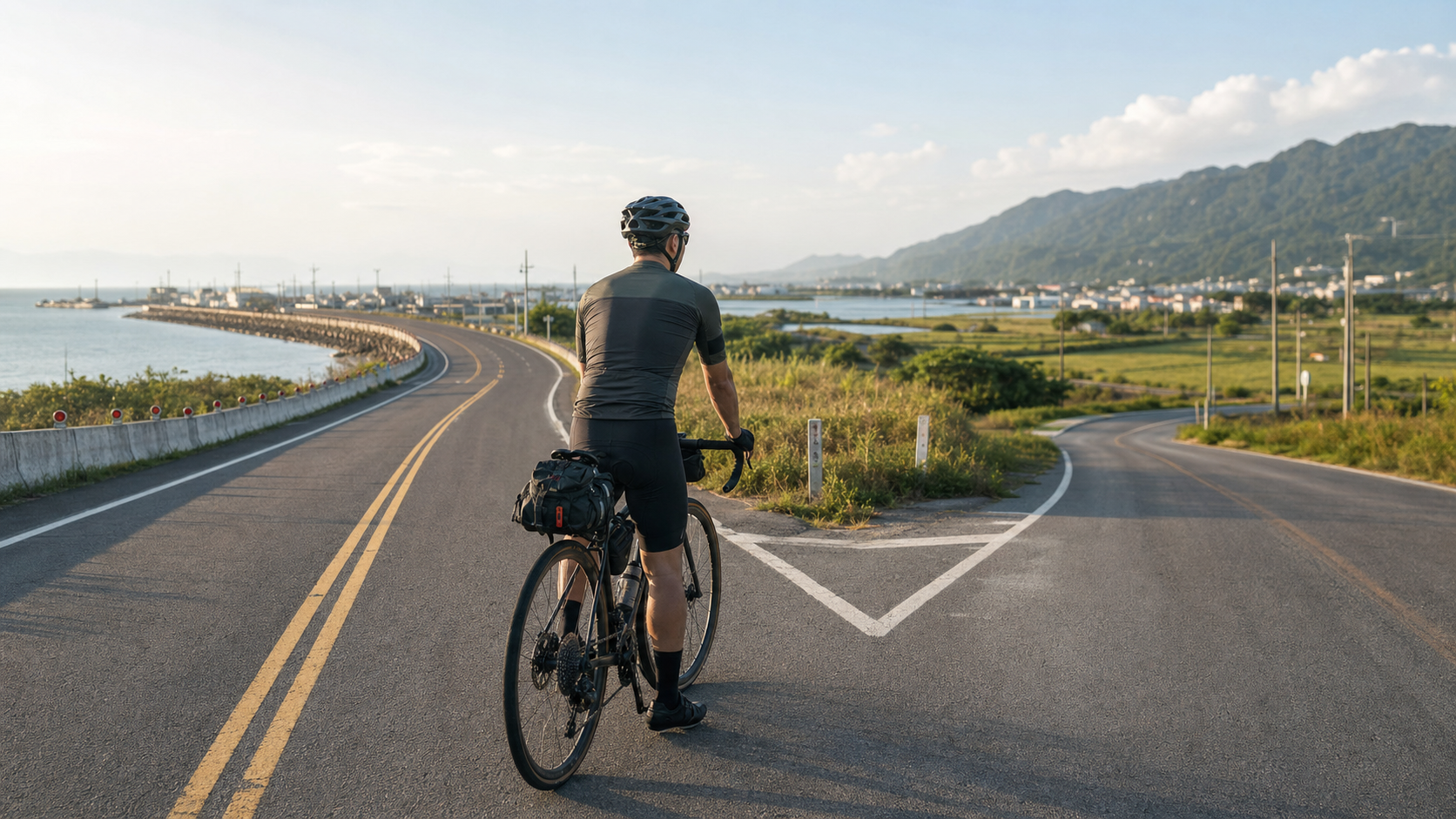
After passing Fangliao and rounding the Eluanbi Lighthouse, you’ve already conquered the southernmost tip of the island. The next target is Kaohsiung. Many cyclists treat this stretch from Pingtung to Kaohsiung as a “rest segment”—after the mountains and seas of the east, the flat roads of the west should be a chance to catch your breath. But the coastal route and the mountain route offer vastly different scenery and experiences. Choosing the right route ensures this leg of the journey is more than just a transition.
Basic Comparison of the Two Routes
| Item | Coastal Route (Provincial Highway 17) | Mountain Route (Provincial Highway 1) |
|---|---|---|
| Distance | Approx. 120 km | Approx. 110 km |
| Terrain | Flat, occasional gentle slopes | Mostly flat, a few gradual climbs |
| Scenery | Taiwan Strait, fishing harbors, mangroves | Farmland, traditional settlements, small towns |
| Supplies | More scattered, fishing-village style | Abundant, towns densely spaced |
| Wind Conditions | Summer southwest winds may create headwinds | Less wind inland |
| Recommended Timing | Non-summer, sunny days | Summer or when in a hurry |
Coastal Route (Provincial Highway 17)
Features and Highlights
Provincial Highway 17 is the provincial highway closest to Taiwan’s west coast. Starting from Fangliao, it heads north along the Taiwan Strait, passing through fishing villages such as Donggang, Jiadong, and Linbian, before finally entering Kaohsiung.
The highlights of this route are:
- Donggang: Dapeng Bay Wetlands and an international-standard racetrack. It’s the largest town on the Pingtung coast, rich in sailfish and bluefin tuna cuisine
- Linbian and Jiadong: An important aquaculture region in Taiwan. Oyster racks and fish farms line the roadside, offering a glimpse of Taiwan’s coastal agricultural life
- Fangliao: A key transfer point on Provincial Highway 17 and home to the Fangliao TRA station, with a traditional market full of fresh ingredients
- Gateway to Xiaoliuqiu: Near Dapeng Bay, you can see the direction of Xiaoliuqiu. If your round-island schedule allows, a half-day round trip to Xiaoliuqiu is a popular “bonus leg” for many cyclists
Things to Note
- On coastal sections, the southwest monsoon is strong on summer afternoons and can create significant headwinds, reducing average speed by 20–30%
- Some sections through aquaculture areas have sand and dirt on the road and a fishy smell; road quality is not highway-grade
- On the southern industrial harbor sections of Kaohsiung City, there are many heavy trucks, so maintain a safe position on the roadside
Mountain Route (Provincial Highway 1)
Features and Highlights
Compared to Provincial Highway 17, Provincial Highway 1 runs further inland. It’s slightly shorter, with more densely spaced supply points, making it suitable for cyclists on a tight schedule or those who want to avoid sea winds.
- Chaozhou: The second-largest town in Pingtung County, with well-developed commercial facilities. You can replenish gear or parts here
- Pingtung City: The county seat of Pingtung County, with convenience stores, pharmacies, and bike shops all readily available
- Fengshan: An old urban district on the southeast side of Kaohsiung, rich in Qing Dynasty ruins and local snacks
- Niaosong Wetlands: The Niaosong Wetlands Park next to Fengshan Reservoir is a good spot for a short rest
Options for Entering Kaohsiung City
Whether you take the coastal or mountain route, once you enter Kaohsiung City, you can consider the following routes:
- Love River Bicycle Path: Ride along the Love River toward downtown Kaohsiung, with walkways and cafés on both banks
- Hamasen Historic District: The earliest developed area in Kaohsiung. Slow down and soak in the atmosphere of the old harbor
- Pier-2 Art Center: Stop and rest, and take a “made it to Kaohsiung” photo
Mixed-Route Strategy
If time permits, a “mixed” plan is recommended:
- Fangliao → Donggang: Provincial Highway 17 (enjoy sea views and fishing villages)
- Donggang → Pingtung: Provincial Highway 1 (convenient supplies)
- Pingtung → Kaohsiung: Provincial Highway 1 or bicycle paths (avoid heavy-truck sections)
This way, you can savor both the rustic charm of the coastal route and the convenience of the mountain route.
Practical Tips
- Don’t skip Eluanbi: Detour onto Provincial Highway 26 to the Eluanbi Lighthouse and check in at the southernmost point. It’s a symbolic milestone of the round-island trip
- Watch out for Kaohsiung city traffic: Kaohsiung has a high density of scooters. When entering the city, ride on the right and be aware of scooters on your right
- Spend an extra half-day in Kaohsiung: Kaohsiung is the city on the round-island route where it’s most acceptable to “indulge” a little. Lotus Pond in Zuoying, the sunset at Sizihwan, and seafood in Cijin are all worth a visit
- Provincial Highway 17 heading north from Kaohsiung: If your next stop is Tainan, you can head north along Provincial Highway 17 and enjoy the oyster-farming scenery of Mituo and Ziguan
Conclusion
The stretch from Pingtung to Kaohsiung is the dividing line where the round-island trip shifts from “grueling” to “enjoyable.” The mountain roads of the east are behind you; ahead lie the plains culture and urban charm of western Taiwan. The coastal route gives you sea breezes and memories of fishing villages; the mountain route gives you efficiency and convenience—pick one, or ride both, and let this leg become the transitional movement of your round-island journey.
Related Reading
- Southern Taiwan Cycling: Tropical Scenery Bike Routes in Pingtung and Kenting
- South Link Highway Section: The Mountain-Sea Border Experience from Taitung to Pingtung
- Pingtung Donggang to Linbian Stilt House Route: A Flat-Road Riding Guide on Taiwan’s Southern Coast
- Taiwan’s West Coast Cycling Tour: A Slow Coastal Ride from Hsinchu to Tainan
大武山後門26%歡樂陡坡!JJSC南台灣單車行Day2 / 被颱風追著跑 / 公路車 / CT Yeh
2 年前
高雄綠園道鐵路自行車道 / 外地人能輕鬆駕馭 還是整路崩潰? / 2025 全線開通 春節實地探索一次!(附GPS連結)/ 公路車 / CT Yeh
1 年前
山道猴出沒!? JJSC屏東單車行 Day1 一直催 / 皮卡丘來了!/ 墾丁 旭海 恆春 社頂 / 公路車 / CT Yeh
2 年前
觀霧 變好騎了! | 北高車友爆笑大會師 | 公路車 | 單車旅遊 Taiwan Cycling Route GuanWu
6 年前
大武山20%魔王陡坡【JJSC南台灣遊騎Day2】!屁股真的要裂開了...凡士林抹滿也沒用?神秘金教堂還有超便宜夜市
3 個月前
嘉義大埔、阿婆灣挑戰賽,美到以為在日本!ft. 環騎5 Cool 西拉雅188 / 公路車 / CT Yeh
7 個月前
太平山單車員工旅遊 | 這樣玩CP值最高!| 公路車
5 年前
單車 一日北高 ( 雙城 ) 肥宅雙人瘋狂行 紀錄片 REACTO
10 年前