Introduction
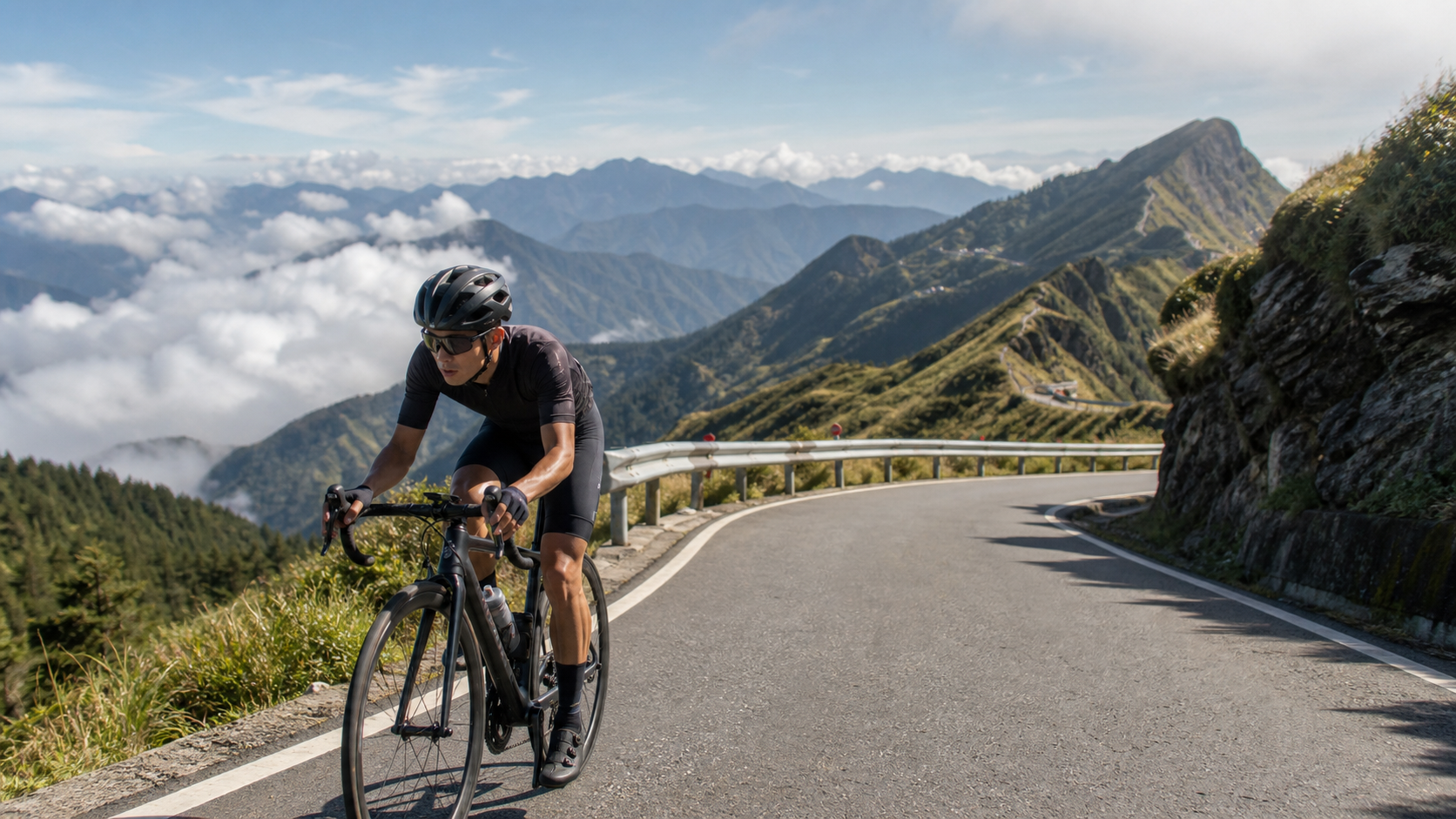
Wuling, at an elevation of 3,275 meters, stands quietly among the clouds of the Central Mountain Range. Provincial Highway 14A starts from Puli, passes through Cingjing Farm and Kunyang, and finally reaches this monument that symbolizes the ultimate road cycling challenge in Taiwan. Every year, the “Wuling King of the Mountain” event attracts thousands of riders to take on the challenge, while many more choose to test themselves on ordinary days, experiencing the transformation from the lowlands to the clouds.
Wuling is not just a climb; it is a comprehensive test of endurance, willpower, and preparation. Starting from Puli, the route spans approximately 96 kilometers with a cumulative elevation gain of about 3,200 meters—a figure that is both awe-inspiring and alluring to many.
Segment Pacing Strategy
The biggest trap on Wuling is “going out too fast in the first half.” The gradient from Puli to Cingjing Farm is relatively gentle, and many riders tend to expend too much energy there, leaving their legs empty for the steep sections after Kunyang.
It is recommended to adopt a three-segment strategy:
- Segment 1 (Puli → Wushe, approx. 24 km): Focus on warming up, staying at the lower end of your aerobic heart rate (below 65% of max HR). Do not follow others’ pace; concentrate on your own rhythm.
- Segment 2 (Wushe → Cingjing → Kunyang, approx. 38 km): Maintain a steady output, and you may increase to the mid-aerobic zone (70-75% of max HR). This segment is the core of the entire ride, so conserve energy for what lies ahead.
- Segment 3 (Kunyang → Wuling, approx. 8 km): The gradient steepens sharply to 8-12%. You can raise the intensity, but it is advised to adjust based on how you feel. Do not force a sprint; make “arriving safely” your ultimate goal.
Aid Station Planning
Supplies are hard to come by in the high-mountain environment, so planning ahead is essential for a safe finish.
| Aid Point | Elevation | Distance (from Puli) | Main Supplies Available |
|---|---|---|---|
| Wushe Town | approx. 1,148m | approx. 24 km | Convenience store, restaurants, water |
| Cingjing Farm Area | approx. 1,750m | approx. 43 km | Convenience store, restaurants, emergency medical care |
| Cuifeng Parking Lot | approx. 2,600m | approx. 75 km | Bring your own supplies; no reliable shops |
| Kunyang | approx. 3,166m | approx. 88 km | Seasonal food stalls; do not rely on them |
| Wuling Parking Lot | 3,275m | approx. 96 km | No supplies; bring your own |
Recommended supplies to bring:
- Energy gels or energy bars: replenish every 45 minutes
- Electrolyte tablets or sports drink powder packets
- High-calorie foods (peanut butter sandwiches, bananas, etc.)
- At least 2.5 liters of water capacity (can be refilled at Cingjing)
Equipment and Safety Preparation
The weather on Wuling is extremely volatile. Even in summer, temperatures at the summit can drop below 10°C, and fog and afternoon thunderstorms are common.
- Clothing layers: A moisture-wicking base layer, a thin mid-layer fleece jacket, and a windproof, waterproof outer shell—all compressed and packed into your bike bag
- Altitude acclimatization: For lowland riders attempting this for the first time, it is recommended to stay overnight in Cingjing the day before to let your body adapt to the elevation
- Descent safety: The descent from Wuling to Dayuling has many sharp switchbacks. Be sure to have reliable disc or hydraulic brakes, and check your brake pad thickness in advance
- Personal first aid: Emergency blanket, at least two spare inner tubes, tire repair tools, and a portable power bank for your phone
Practical Tips
- The best season to take on the challenge is from May to October. April and November may have residual snow, and from December to March the summit may be closed
- It is recommended to depart from Puli at 4-5 AM to avoid afternoon thunderstorms and heavy traffic
- Save emergency contact numbers on your phone: “Nantou County Fire Bureau” 119, and the “Wuling Workstation” contact number
- If you experience symptoms of altitude sickness such as headache or vomiting, descend immediately and do not push through
- Detailed real-time road condition updates can be found on major Taiwanese cycling forums (such as Cycling Forum and Strava segments)
Conclusion
Wuling is not a route that needs to be completed “fastest”; it is a journey worth “savoring.” The historical scenes of Wushe along the way, the grassy pastures of Cingjing, and the sea of clouds in the high mountains—each section has its own unique story. With thorough preparation and careful pacing, the Wuling monument awaits every rider who dares to take on the challenge. When you finally stand before the 3,275-meter marker, the sense of accomplishment will be beyond words in any language.
Related Reading
- Wuling Guide: Pacing Strategy and Aid Station Planning from Puli
- Wuling Climb Race Guide: Pacing Strategy and Aid Point Analysis at 3,275m
- Full 52.2km Wuling Segment Pacing Strategy: A Rhythm Map from Puli to the Rooftop
- Taiwan High Mountain Road Challenges: Preparation Strategies for Wuling, Hehuan Mountain, and Dayuling
#公路車 #西進武嶺 配速配瓦實驗 坡度分析 四小時內攻略 建大盃 NeverStop #西進武嶺攻略
6 年前
#北橫 + #北進武嶺 最硬的員工旅遊 EP1 | #公路車 #拉拉山 | 明池 | 武嶺 | 武陵農場 | 雲海 | Taiwan Cycling Route Wulin
6 年前
大禹嶺 到 武嶺牌樓 全程前後實況錄影 | 北進武嶺 | 東進武嶺 | KOM | 訓練台 | 坡度分析 | Taiwan KOM Last 10 km HARD | 公路車
6 年前
西進武嶺 世界紀錄挑戰!破2:30 ?!一群人推著一個夢上山 直播精華版 / ft. 張翰允 & 台視主播魏于恬 & KPLUS / #cycling 公路車 CT Yeh
2 個月前
台灣登山王之路 KOM 全程參賽4K臨空錄影 PART1 穿越峽谷地形! #東進武嶺 太魯閣 / 燕子口 / 天祥 / 西寶 PART1 (公路車 / CT Yeh)
3 年前
西進武嶺各路段 前8000名 大數據分析 配速攻略/功率/心律/推力比/維持率/踏頻/踏瓦比/牽車率 大公開 | 建大盃 NeverStop 可參考 | 公路車 | CT Yeh
5 年前
FTL 與 SYB 車隊專訪 西進武嶺 實用攻略分享! 2小時 如何練?!你不知道的眉角!新手準備武嶺必看 EP1 | 實力派女車友 | 精華版 | 公路車 | CTYeh
4 年前
2025 乘鞍岳登山賽 比賽全紀錄篇 / 完整路線攻略介紹 / 日本版武嶺 公路最高點 / 高山空拍絕景 / 明年會開團! / 公路車 / CT Yeh
10 個月前