Introduction
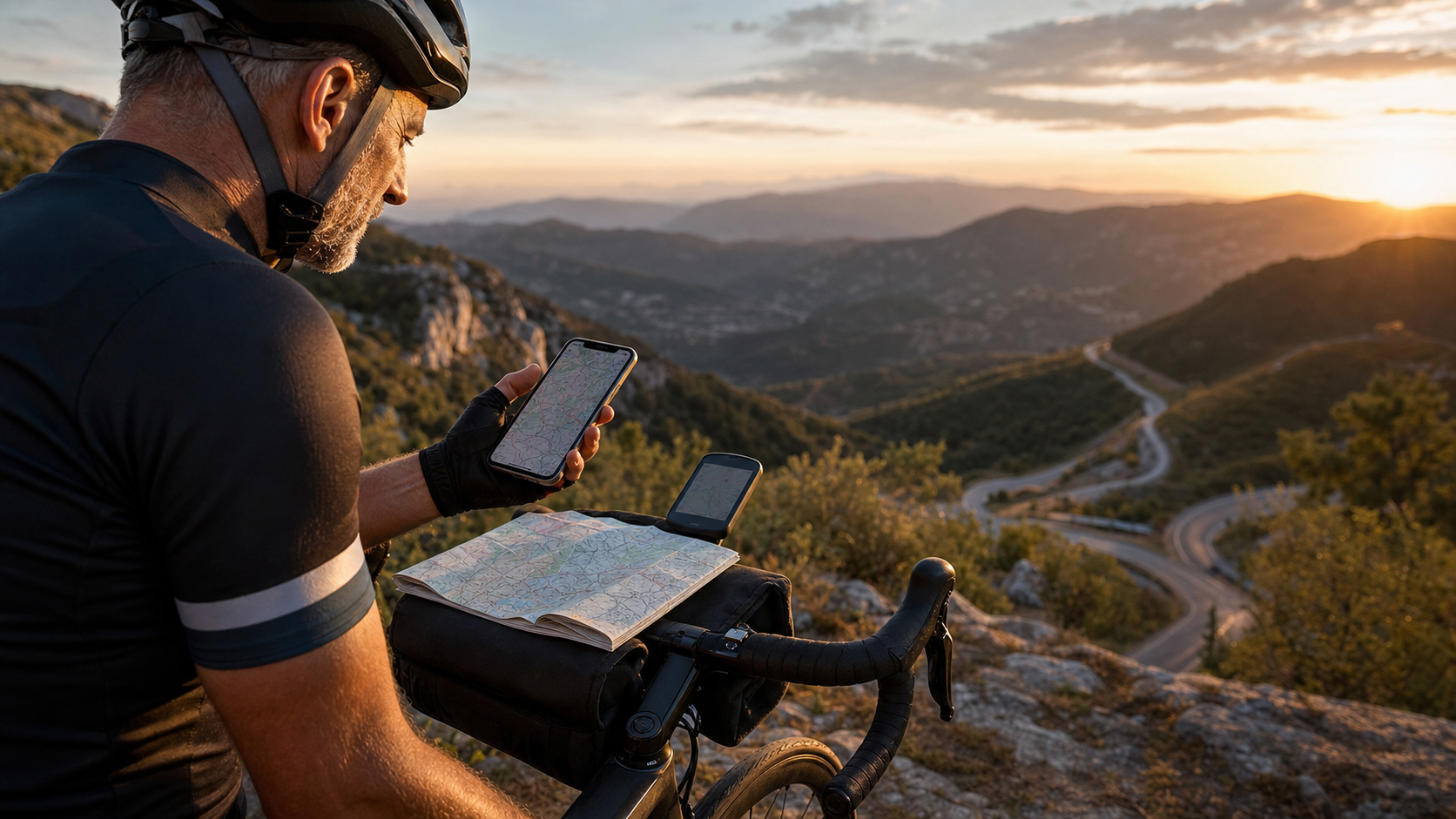
Before GPS devices became widespread, route planning for long-distance riding was a true craft—reading maps, asking locals, and relying on intuition to judge road conditions. Today, digital tools have made route planning far more convenient, but having too many options can be confusing: Komoot is widely recommended, everyone uses Strava, and RideWithGPS has a loyal following among advanced riders. What exactly are the differences? This article provides a systematic comparison.
Core Positioning of the Three Tools
| Tool | Core Positioning | Best Use Case |
|---|---|---|
| Komoot | Outdoor route discovery and recommendations | Exploring new routes, prioritizing terrain and surface types |
| Strava | Social and training logging platform | Already has routes, prioritizing comparison with others and data analysis |
| RideWithGPS | Professional route planning tool | Planning complex routes independently, prioritizing precise control |
Komoot: A Route-Finding Powerhouse for Exploration
Key Strengths
- Surface type labeling: Clearly indicates the proportion of paved roads, gravel roads, and dirt trails, allowing long-distance riders to avoid unsuitable surfaces
- Highlights: Points of interest and supply stops marked by other users, making routes more than just A to B
- Automatic route suggestions: Enter a start and end point, and Komoot automatically recommends routes based on your selected bike type (road bike/gravel bike)
- Offline maps: Usable in areas without signal after downloading
Key Limitations
- User data in Taiwan is relatively sparse compared to Europe, making some route recommendations less accurate than those in Europe
- The free version has regional restrictions; a “Region Bundle” must be purchased to unlock full features
- Social features are weaker, with less interaction with other riders
Who It’s For
Riders who enjoy exploring new routes, occasionally ride off-road or gravel, and Taiwanese riders planning to ride in Europe.
Strava: The Social-First Training Platform
Key Strengths
- Segments: Nearly every popular route has KOM (fastest time) records, providing competitive motivation
- Heatmap: Shows which routes are most ridden, a quick way to find safe and enjoyable routes
- Beacon safety tracking: Allows friends and family to track your location in real time during long rides
- Training data analysis: Detailed analysis of power, heart rate, elevation gain, and pace
Key Limitations
- Route planning features are relatively basic and cannot finely control surface types
- The free version significantly limits analysis features, and the subscription cost is not cheap
- Relies on user-uploaded data; information on less popular routes may be incomplete
Who It’s For
Riders who value training data analysis, enjoy competing for KOMs, and already have established routes while wanting to track their progress.
RideWithGPS: A Route Design Tool for Advanced Users
Key Strengths
- Precise route drawing control: Allows point-by-point route control and adjustment of every turn, ideal for designing complex long-distance routes
- Grade analysis: Detailed elevation grade charts allow pre-assessment of each section’s difficulty
- Turn-by-turn voice navigation: More accurate than Strava’s navigation, suitable for unfamiliar routes
- Event planning: Allows setting supply stops and rest points, and outputs estimated times
Key Limitations
- Steeper learning curve; first-time users need more time to familiarize themselves with the interface
- Weakest social features, with no racing or community interaction elements
- The free version has limited features; advanced features require a subscription
Who It’s For
Advanced riders who prefer designing their own routes, need precise route navigation, and plan events with multiple participants.
Practical Tool Combination Recommendations for Long-Distance Riding
The three tools are not mutually exclusive; the best practice is to use them together:
- Planning phase: Komoot (explore possible routes) + RideWithGPS (fine-tune the route)
- During the ride: Strava (log data, track Segments) or RideWithGPS (precise navigation)
- Post-ride analysis: Strava (heart rate, power, speed analysis)
Practical Tips
- Download the route as an offline map before departure, so you don’t rely on mobile data
- Regardless of which tool you use, verify water refill points (convenience store locations) on the map in advance
- After completing route planning, spot-check a few key sections with Google Street View to confirm road conditions
- During long rides, phone navigation drains battery quickly; using a dedicated GPS cycling computer rather than phone navigation is more reliable
Conclusion
Choosing a route planning tool ultimately comes down to one question: What is your core motivation for riding? Choose Komoot to explore new routes, Strava for training analysis, and RideWithGPS for precise planning. Understanding each tool’s strengths lets them serve as your digital guides for long-distance riding, rather than a source of frustration over tool selection before you even set off.
Related Reading
- Complete Comparison of Cycling GPS Navigation Apps: Komoot, RideWithGPS, and Strava Route Planning
- Taiwan Cycling Route App Recommendations: Komoot vs Strava vs RideWithGPS Comparison
- Beyond Strava: A Complete Comparison of Komoot, RideWithGPS, Wahoo, and Other Cycling Apps
- Cycling App Recommendations: Hands-On Experience with Strava, Garmin Connect, and Komoot
安裝) 超酷! RGT Cycling 最新 訓練台 騎乘軟體 模擬一級賽經典路線 選手 Road Grand Tours 安裝教學 Zwift 替代方案
7 年前
#公路車 #Fitting 靠人工智慧APP 幫你調整單車
6 年前
單車元宇宙新霸主?TrainingPeaks Virtual 實測 / Zwift 完美平替? 還是超越?/ 有台灣國旗!前身 indieVelo / 公路車 / CT Yeh
1 年前
車錶新黑馬? / 超狂續航 / 超好用錶冠 / 無敵準定位 / Dash圖表合成!?/ COROS DURA 評測!/ 公路車 / CT Yeh
2 年前
超開放的自行車錶!可以玩遊戲裝APP!?/ SRAM合併的 Hammerhead Karoo深入開箱!/ 即時爬坡偵測 / 全球導航地圖 / Garmin Bryton / CT Yeh
1 年前
Rouvy 元宇宙運動世界! 用VR 騎遍全台灣單車路線 武嶺 中社路 風櫃嘴
5 年前
訓練台體驗) 2019台北自行車展 三大家 訓練台體驗 Tacx Neo Flux 2 Xepdo Apx Wahoo Kickr
7 年前
單車AI教練!全新 ChatGPT4o 幫你分析訓練成果!排武嶺課表,分析騎車姿勢! 太神了! / 公路車 / CT Yeh / feat. 緯緯
2 年前