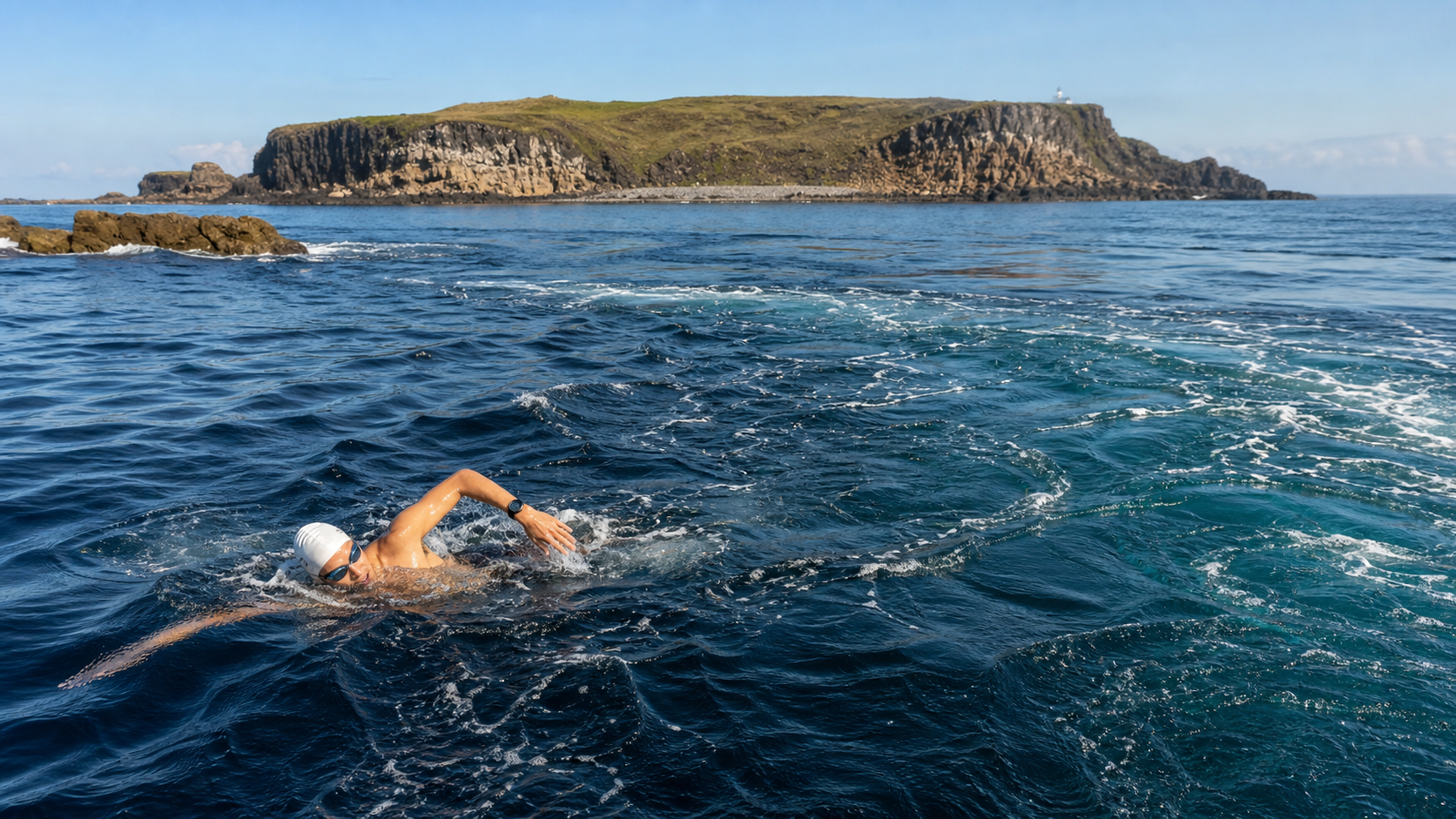
Tidal Utilization in Open Water: The Impact of Taiwan Strait Tides on Open-Water Swimming
Introduction
The tidal characteristics of the waters surrounding Taiwan vary by region and have a profound impact on open-water swimming. In the Taiwan Strait, the average tidal range (the height difference between high and low tide) can reach 1–2 meters near Penghu, while the tidal range on the eastern Pacific side is relatively smaller. For swimmers planning long-distance crossings, especially those participating in cross-strait swims or events in Penghu waters, understanding how tides work and leveraging them effectively can minimize physical exertion.
1. Tidal Characteristics of the Waters Surrounding Taiwan
| Sea Area | Tidal Type | Average Tidal Range | Characteristics |
|---|---|---|---|
| Taiwan Strait (Northern) | Semi-diurnal | 2–4 meters | Large tidal range, strong currents |
| Taiwan Strait (Southern) | Mixed | 1–2 meters | Moderate tidal range |
| Penghu Archipelago | Semi-diurnal | 1–2 meters | Complex terrain, many eddies |
| Eastern Pacific Side | Semi-diurnal | 0.5–1 meters | Small tidal range, strong Kuroshio influence |
| Kenting, Pingtung | Mixed | 0.5–1.5 meters | Obvious north-south differences |
2. The Difference Between Tidal Currents and Tides
Many people confuse “tides” with “tidal currents”:
- Tides: Refer to the rise (flood tide) and fall (ebb tide) of the sea surface, primarily affecting water levels
- Tidal currents: Refer to the horizontal water movement caused by tides, which has the greatest impact on swimming direction
Tidal current directions in the Taiwan Strait:
- During flood tide: Water flows northward (toward northern Taiwan)
- During ebb tide: Water flows southward (toward southern Taiwan)
- Slack tide period: During the transition between flood and ebb tides, there is a 30–60 minute period when current speed is nearly zero, known as “slack tide”
3. How to Look Up Tidal Data
Available resources in Taiwan:
- Central Weather Administration Tide Forecasts (cwb.gov.tw): Provides hourly tide forecasts for major ports across Taiwan
- Harbor Bureau Tide Tables: Each harbor bureau publishes annual tide tables on a regular basis
- Tides.net or Tide Chart: Global tide apps, suitable for quick reference
Key points to check:
- The times of high and low tide on the day of departure
- The direction of tidal currents during the planned swimming period
- The timing of slack tide—this is the optimal window to start swimming
4. Using Tides to Plan Your Swim
Optimal departure timing:
Aiming for a “down-current swim,” depart under the following conditions:
- Depart 30 minutes before slack tide: Enter the water when current speed is at its lowest, avoiding fighting strong currents from the start and giving your body time to warm up
- Make the down-current period your main swimming segment: Estimate swimming time based on distance so that the main segment falls within the down-current period
- Schedule up-current segments when you have the most energy: If an up-current segment is unavoidable, face it during the first half when your energy reserves are at their peak
Typical timing choices for a Taiwan Strait crossing (using an east-to-west, Penghu-bound route as an example):
- Depart during the slack tide period when the ebb tide transitions to flood tide
- Use the northward flow during flood tide to gain lateral assistance
- Compensate with angle adjustments so the lateral current carries you onto your intended route
5. The Impact of Tidal Range on Shoreline Terrain
- At high tide: Beaches shrink, and reef rocks may be submerged, requiring you to reconfirm the exit point
- At low tide: More reef rocks are exposed, and the underwater terrain becomes more complex, requiring careful reef avoidance
- Areas with large tidal ranges (such as Penghu): Some shallow channels may become impassable at low tide, which must be considered when planning your route
Pre-race reconnaissance should be conducted at different tide levels to understand how the terrain at the finish exit area changes with each tide level.
6. Practical Advice
Pre-race preparation:
- Starting one week before the race, check the tide forecasts for the race location daily to familiarize yourself with the current patterns of the day
- If possible, visit the site 1–2 days before the race to observe the actual direction and strength of the currents
- Ask local fishermen or coast guard personnel about the water characteristics—their experience is often more accurate than any data
Planning tools:
- Mark the starting point, finish point, and planned route on a map
- Mark the direction of tidal currents and calculate the required angle compensation
- Estimate swimming time for each segment to confirm the overall plan can be completed within a reasonable tidal window
Conclusion
Tides are both a gift and a challenge from nature to swimmers. A smart swimmer, like a surfer reading waves, studies tidal patterns in advance and chooses the most favorable time to enter the water, making the forces of nature part of your plan. The deeper your understanding of the tides in Taiwan’s surrounding waters, the more precise your swim planning will be, and the greater your chances of completing the challenge.
Related Reading
- Reading Tidal Currents and Ocean Currents: How to Use Water Flow to Save Energy
- Tides and Currents: How to Harness Natural Forces to Improve Open-Water Swimming Efficiency
- Penghu Cross-Sea Swim: The Windy, Rough-Strait Challenge and Race Preparation Tips
- The Physiological Challenges of Open-Water Swimming: Waves, Currents, Navigation, and Psychology
2025 海鷗團體繞圈賽 網路直播 超激烈裁判長視角 / EIPC 李廷威、Waypoint 等眾多高手競爭 / feat. 卡密兒主持 / 海鷗繞圈賽
9 個月前
備戰 戀戀197 賽前關門點分析 西濱團練 #公路車 4K高畫質
6 年前
2023桃園團體繞圈賽 / 海鷗繞圈賽 | 全程空拍數據版 | 公路車 | CT Yeh
2 年前
CT暗黑廚房) 車友必備 宇宙無敵鮮蚵湯 幫助訓練恢復 天然食補 好市多 超肥鮮蚵 破PR
7 年前
大武山後門26%歡樂陡坡!JJSC南台灣單車行Day2 / 被颱風追著跑 / 公路車 / CT Yeh
2 年前
西進武嶺 免費訓練分析服務 Intervals | 練不夠還是練過頭?你哪一種類型選手?AI模型告訴你! | 備戰神器 | 公路車 訓練 | CT Yeh
4 年前
96聯賽 桃園市長盃 歷屆各路段大數據攻略 從菁英組到新手組的平均瓦數、均速、平均時間 x 賽前探路
5 年前
一起升級!海鷗盃LSD團練...JJSC Zone2招待 騎到手抖 / 公路車 / CT Yeh
1 天前