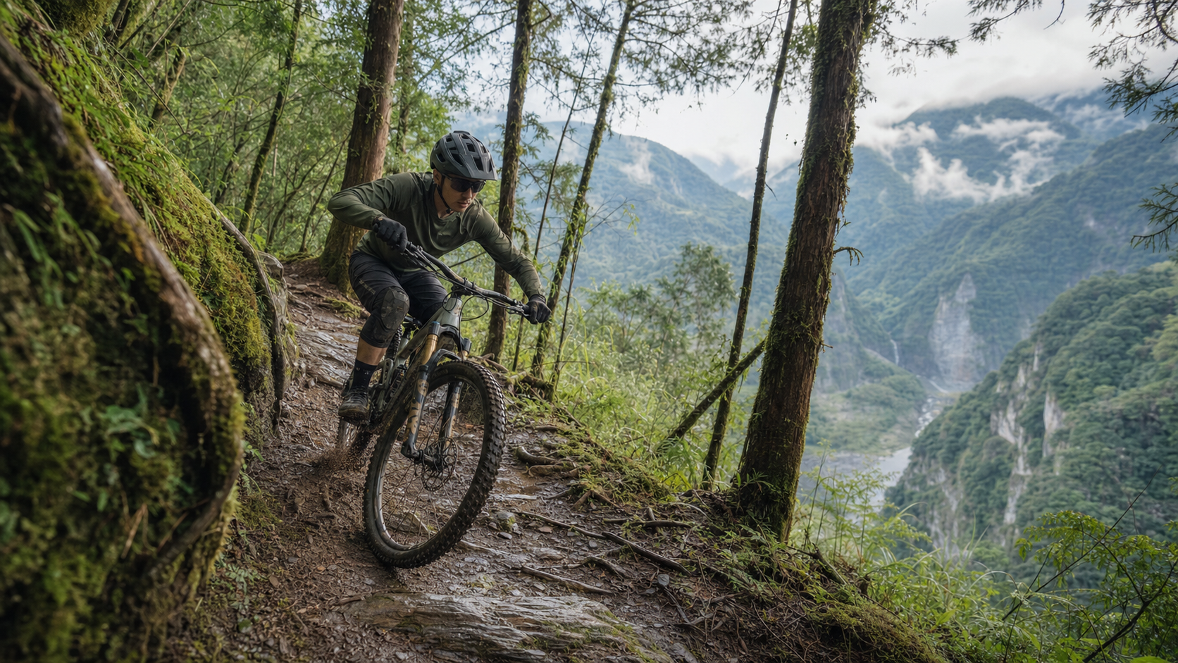
MTB Taiwan Route Recommendations: A Trail Guide to Yilan, Nantou, and Hualien
Taiwan’s unique geography creates an incredibly diverse MTB riding environment: the damp, mossy forest trails of the northeast, the high-altitude cedar forest paths of the central region, and the spectacular canyon terrain of the east—each area offers an irreplaceable riding experience. However, MTB route information in Taiwan has long been scattered, largely passed down by word of mouth or shared through communities. This article organizes the three most worthwhile MTB regions in Taiwan, providing a systematic route guide.
Yilan: A Wet Forest Trail Paradise in the Northeast
Yilan is one of the most frequently mentioned destinations among Taiwan’s MTB riders. The characteristics of the routes here are: abundant technical root sections, year-round dampness but relatively stable trail conditions, and easy access from the greater Taipei metropolitan area (about 1.5–2 hours by car).
Beihuang Yilan End Forest Trail System
- Difficulty: Medium-High
- Features: Multiple parallel forest trails crisscrossing each other, forming a route network that can be freely combined
- Climbing: 500–1,500 meters depending on the route
- Surface: Primarily dirt trails mixed with rocks and roots; best ridden 1–2 days after rain (when floodwater has receded but the trail still has grip, offering excellent traction)
- Note: Most forest trails have no cell phone signal; be sure to download offline maps
Dajiaoxi Upstream Watershed Route
- Difficulty: Medium
- Features: Valley terrain, with routes following the creek and featuring multiple stream crossings (rideable during low water levels; requires hike-a-bike wading during high water)
- Distance: Approximately 25–35km round trip
- Supplies: No resupply points along the way; bring ample food and water
- Best Season: The dry season from October to April, avoiding the plum rain and typhoon seasons
Cuifeng Lake Trail
- Difficulty: High
- Features: A route around Taiwan’s largest alpine lake, at an elevation of 1,800–2,000 meters, entirely away from civilization
- Surface: Partially ancient paved stone paths, partially unmaintained rooty singletrack
- Note: Subject to more seasonal restrictions; fog and snow possible in winter, frequent afternoon thunderstorms in summer; a guide is recommended
Yilan Riding Practical Information
| Item | Information |
|---|---|
| Nearest Resupply | Yuanshan, Jiaoxi town center, near Datong Township Office |
| Emergency Contact | Yilan County Fire Bureau (119), Yilan Forest District Office (03-9311310) |
| Best Season | October–May (June–September has higher typhoon/heavy rain risk) |
| Accommodation Recommendation | Jiaoxi Hot Spring Area (allows for post-ride hot spring recovery) |
Nantou: The Ultimate Challenge of Central High-Altitude Forests
Nantou County encompasses Taiwan’s most extensive mid-to-high altitude mountain areas, with MTB routes spanning elevations from 600 meters to over 3,000 meters, offering Taiwan’s most diverse off-road experience.
Dongyan Mountain–Chatianshan Connection
- Difficulty: High
- Features: This connecting route is nicknamed the “Taiwanese Whistler entry-level version” by local MTB riders, featuring consecutive technical downhill trail sections
- Climbing: Approximately 1,800 meters for the full route
- Surface: A mix of surfaces: man-made trails, natural forest roads, and gravel access roads
- Recommended Gear: Full-suspension MTB, complete protective gear (downhill sections can reach speeds of 40+ km/h)
Sun Moon Lake Surrounding Trail System
- Difficulty: Low-Medium
- Features: A combination of lake-view trails, with many sections offering open vistas; family- and beginner-friendly routes
- Distance: Multiple 15–30km loop routes to choose from
- Supplies: Multiple resupply points at Ita Thao Village on Sun Moon Lake; busier with tourists on weekends but also adds a sense of safety
Alishan Forest Railway Trail Extension System (Starting from Fenchihu)
- Difficulty: Medium-High
- Features: The Japanese-era Alishan forest railway system extends into today’s off-road routes, rich in historical atmosphere
- Surface: Well-preserved stone slab sections, some now covered by dense forest; be prepared for route-finding
- Note: Some sections fall within nature reserves; check the latest management regulations before entering
Hualien: MTB Experiences Amid Spectacular Eastern Terrain
Hualien boasts Taiwan’s most spectacular natural terrain—the Taroko Gorge carved by the Liwu River, the vertical cliffs of Qingshui Cliff, and the indigenous Bunun ancient trails in Xiulin Township—offering the most visually stunning MTB experiences.
Xiulin Township Mountain Routes (Around Heliu Campground)
- Difficulty: Medium
- Features: Routes on the periphery of Taroko National Park, dominated by limestone terrain with excellent traction when dry
- Surface: A mix of stone slabs and gravel, with some sections on traditional indigenous hunting trails
- Note: Prior consent is required to enter certain traditional indigenous territories; it is recommended to contact local tribes or guides
- Supplies: Resupply points available at Heliu and Tianxiang
Yuli–Fuli Mountain Forest Trails
- Difficulty: Low-Medium
- Features: Located in the foothills on the eastern side of the Huadong Rift Valley, the routes pass through organic farming areas, allowing riders to purchase local agricultural products directly along the way
- Distance: Multiple 20–40km routes
- Surface: Primarily agricultural and access roads, with occasional gravel sections
- Best Season: Autumn (September–November) when the rice paddies turn golden, offering the most beautiful scenery
Ruisui–Yuli Taipingshan Trail
- Difficulty: High
- Features: One of the areas in Hualien’s mountains that retains the most pristine natural forest cover, with little human traffic
- Climbing: 1,000–2,500 meters depending on the route
- Note: Trail condition updates are infrequent; it is best to contact local MTB communities before heading out (Hualien has several active MTB teams)
General Safety Guidelines for Trail Riding
Regardless of which region you choose, general safety guidelines for MTB riding in Taiwan’s mountains:
- Inform someone before departure: Departure time, route, estimated return time, and emergency contact
- Offline maps: Gaia GPS’s Taiwan mountain layers; download offline backups before departure
- Spare tube and basic tools: Carry at least one spare tube (or a patch kit), quick links, and a multi-tool
- Emergency communication: Cell phone signals are unreliable in Taiwan’s mountains; consider renting or purchasing a PLB (Personal Locator Beacon) for emergency rescue
- Mountain regulations: Some routes cross controlled mountain areas; confirm whether an entry permit is required
Conclusion
Taiwan’s MTB route resources are world-class, but proper preparation is required to enjoy them safely. Every trail has its own character and challenges. The best approach is to start exploring with guidance from local riders, building familiarity with the terrain before planning independent trips. Yilan, Nantou, and Hualien each possess their own irreplaceable charm—worth scheduling 2–3 visits per region over the course of a year to gradually build your own Taiwan MTB route map.
Related Reading
- Taiwan MTB Route Introduction: Lalashan, Taipingshan, and Hehuanshan Off-Road Destinations
- MTB Taiwan Route Guide: Xiaogetou, Fushan, and Yuanzui Three Sacred Sites
- Taiwan’s Top Ten Mountain Bike Route Recommendations: Off-Road Paradise from North to South
- The Complete Taiwan Cycling Travel Guide: East Coast Line and Sun Moon Lake Loop
爬坡ITT實境)台中 魔王 松鼠坡 首航 6:12 大肚山 大三元 科福路
8 年前
太平山單車員工旅遊 | 這樣玩CP值最高!| 公路車
5 年前
台中大雪山 膏王領騎 震到都沒畫面了 公路車
5 年前
藤枝二集團 單車行 Day1 | 南部小武嶺 | 爬坡爬到罵罵叫 | JJSC | 公路車 | CT Yeh
3 年前
4K單車實境) 嘉義 梅山36灣 訓練台 爬坡 輕鬆騎
6 年前
秘境雪場 日本 八甲田 冰樹探險與滑雪體驗 ft. Q老師 & 運動生活
7 年前
高雄綠園道鐵路自行車道 / 外地人能輕鬆駕馭 還是整路崩潰? / 2025 全線開通 春節實地探索一次!(附GPS連結)/ 公路車 / CT Yeh
1 年前
虎豹潭!日本老師來台一日約騎 台灣車友熱情招待私房路線 / CT Yeh
20 天前