Introduction
Taiwan’s terrain is compact and mountain roads are dense, with climbs that captivate cycling enthusiasts scattered from north to south. Road cyclists don’t need to fly to Europe — the island alone offers challenges comparable to the Alps. Based on Strava data, race records, and feedback from the local riding community, this article compiles the ten most iconic road climbs, with detailed numerical comparisons and difficulty assessments.
Overview of Taiwan’s Top 10 Climbs
| Climb | Location | Distance (km) | Elevation Gain (m) | Avg. Gradient (%) | Steepest Section (%) | Difficulty Rating |
|---|---|---|---|---|---|---|
| Wuling (Wushe → Wuling) | Nantou | 30.2 | 1788 | 5.9 | 11 | ★★★★★ |
| Provincial Highway 14A, Hehuanshan | Nantou/Hualien | 50+ | 2500+ | 4.8 | 12 | ★★★★★ |
| Beiyi Highway (Jiaoxi → Pinglin) | Yilan/Taipei | 20.3 | 680 | 3.3 | 12 | ★★★☆☆ |
| Baguashan Gliding Rock (Changhua) | Changhua | 5.2 | 320 | 6.1 | 14 | ★★★☆☆ |
| Quantoushan (Jiaobanshan, Taoyuan) | Taoyuan | 12.8 | 720 | 5.6 | 13 | ★★★★☆ |
| Taipingshan Highway | Yilan | 22 | 1300 | 5.9 | 15 | ★★★★☆ |
| Mingchi (Yilan) | Yilan | 16 | 1100 | 6.8 | 14 | ★★★★☆ |
| Smangus Forest Road | Hsinchu | 20 | 1400 | 7.0 | 18 | ★★★★★ |
| Aogu Coastal Road (Chiayi) | Chiayi | 15 | Low | 1.5 | 4 | ★☆☆☆☆ |
| Caoling (Gukeng, Yunlin) | Yunlin | 13.5 | 800 | 5.9 | 16 | ★★★★☆ |
In-Depth Look at Each Climb
Wuling: Taiwan’s Cycling Mecca
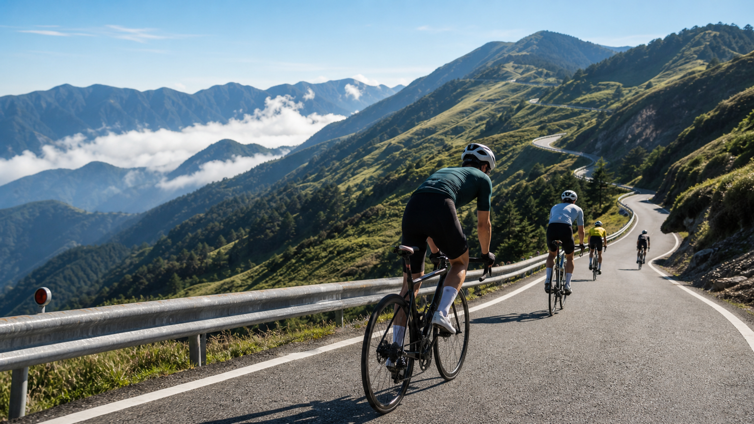
At 3,275 meters, Wuling is the highest point on Taiwan’s road network. Starting from Puli, total elevation gain exceeds 2,500 meters. The final 30-kilometer segment (Wushe → Wuling) is the most commonly timed Strava Segment. An average gradient of 5.9% may sound mild, but the effects of high-altitude hypoxia will send your heart rate soaring and your power output dropping.
Taiwan scene: Every year, the Wuling Hill Climb Challenge draws over a thousand riders. The KOM time is about 1 hour 30 minutes, while typical amateur riders take 2.5–3.5 hours.
Smangus: The Hidden Toughest Route
Starting from Guanxi in Hsinchu, this climb averages 7% gradient, with sections reaching 18%. The road is narrow with rockfall risk, making it suitable for advanced riders with off-road climbing experience. It’s an off-the-beaten-path route with fewer Strava records, which only adds to its sense of adventure.
Caoling, Gukeng: A Popular Southern Challenge
With an average gradient of 5.9% and a steepest section of 16%, this 13.5-kilometer climb is a staple in southern cycling teams’ winter training menus. The final 3 kilometers before the finish are especially steep, testing riders’ willpower.
Three Principles for Choosing a Route
- Assess your current climbing ability first: If your FTP is below 3.0 W/kg, start with gentler-gradient routes like Beiyi or Baguashan.
- Consider high-altitude acclimatization: Above 2,500 meters on Wuling, thin air is normal — expect an inaccurate heart rate and a 10–20% drop in power output.
- Weather and timing: Afternoon convective showers are frequent in Taiwan’s mountains. Start climbs early in the morning and leave enough time to descend before noon.
Recommended Route Progression by Difficulty
- Beginner (★★☆☆☆): Beiyi (Jiaoxi → Pinglin), Baguashan
- Intermediate (★★★☆☆): Quantoushan, Caoling, Taipingshan
- Elite (★★★★★): Wuling, Smangus, the full Hehuanshan route
Aid Station Information by Route
| Climb | Main Aid Stations | Spacing | Notes |
|---|---|---|---|
| Wuling | Lushan, Cingjing Farm, Kunyang | ~10km | Few aid stations after Cingjing — bring your own supplies |
| Taipingshan | Tucheng Visitor Center | Midpoint of the route | Only open on Saturdays and holidays |
| Smangus | Convenience store before the start | No aid along the entire route | Stock up thoroughly before setting out |
| Beiyi | Jiaoxi town center, Pinglin tea village | Plentiful | Convenient aid stations, beginner-friendly |
Practical Tips
- If tackling Wuling for the first time, complete at least 3 training rides with over 1,000 meters of elevation gain beforehand.
- Use Strava Segments to track your pacing — the gap to the local KOM is one of the best indicators of your own level.
- Taiwan’s mountain roads have many bends. When descending, keep to the inner line to avoid rockfall on the outer edge, and never speed through blind curves.
- After a climb, the descent covers the same distance and elevation change — the calorie burn is often underestimated, so remember to refuel.
Conclusion
Taiwan is a paradise for climbing cyclists. From Baguashan near the cities to Wuling, which rivals the world’s best, every route has its own character and challenge. Use this comparison table to plan your next climbing goal and conquer Taiwan’s mountains one summit at a time.
Related Reading
- Taiwan’s Top 10 Classic Road Climbs Recommended
- Taking On Taiwan’s Five Great Classic Climbs: Wuling, Tataka, Alishan, Hehuan North Peak, Taipingshan
- Taiwan’s Top 10 Road Climbing Routes Ranked: The Perfect Blend of Difficulty and Scenery
- Selected Road Climbs Around Taiwan’s Baiyue Peaks: A Guide to Hehuan, Wuling, and Dasyueshan Routes
#北橫 + #北進武嶺 最硬的員工旅遊 EP1 | #公路車 #拉拉山 | 明池 | 武嶺 | 武陵農場 | 雲海 | Taiwan Cycling Route Wulin
6 年前
台北闊瀨陡坡 騎旅 / 日本單車雜誌編輯車友臨時加入!/ 髮香才是最強的 / feat. 北迴歸線小隊 / 公路車 CT Yeh
6 個月前
爬坡ITT實境)台中 魔王 松鼠坡 首航 6:12 大肚山 大三元 科福路
8 年前
大武山20%魔王陡坡【JJSC南台灣遊騎Day2】!屁股真的要裂開了...凡士林抹滿也沒用?神秘金教堂還有超便宜夜市
3 個月前
大武山後門26%歡樂陡坡!JJSC南台灣單車行Day2 / 被颱風追著跑 / 公路車 / CT Yeh
2 年前
大禹嶺 到 武嶺牌樓 全程前後實況錄影 | 北進武嶺 | 東進武嶺 | KOM | 訓練台 | 坡度分析 | Taiwan KOM Last 10 km HARD | 公路車
6 年前
台灣登山王之路 KOM 全程參賽4K臨空錄影 PART1 穿越峽谷地形! #東進武嶺 太魯閣 / 燕子口 / 天祥 / 西寶 PART1 (公路車 / CT Yeh)
3 年前
單車 梅山36灣 坡度介紹 路段介紹 空拍 (相關遊記影片,請參考說明或我的頻道喔,歡迎訂閱)
6 年前