Taoyuan and Hsinchu Mountain Rides: High-Difficulty Climbing Routes in Northern Taiwan's Suburbs
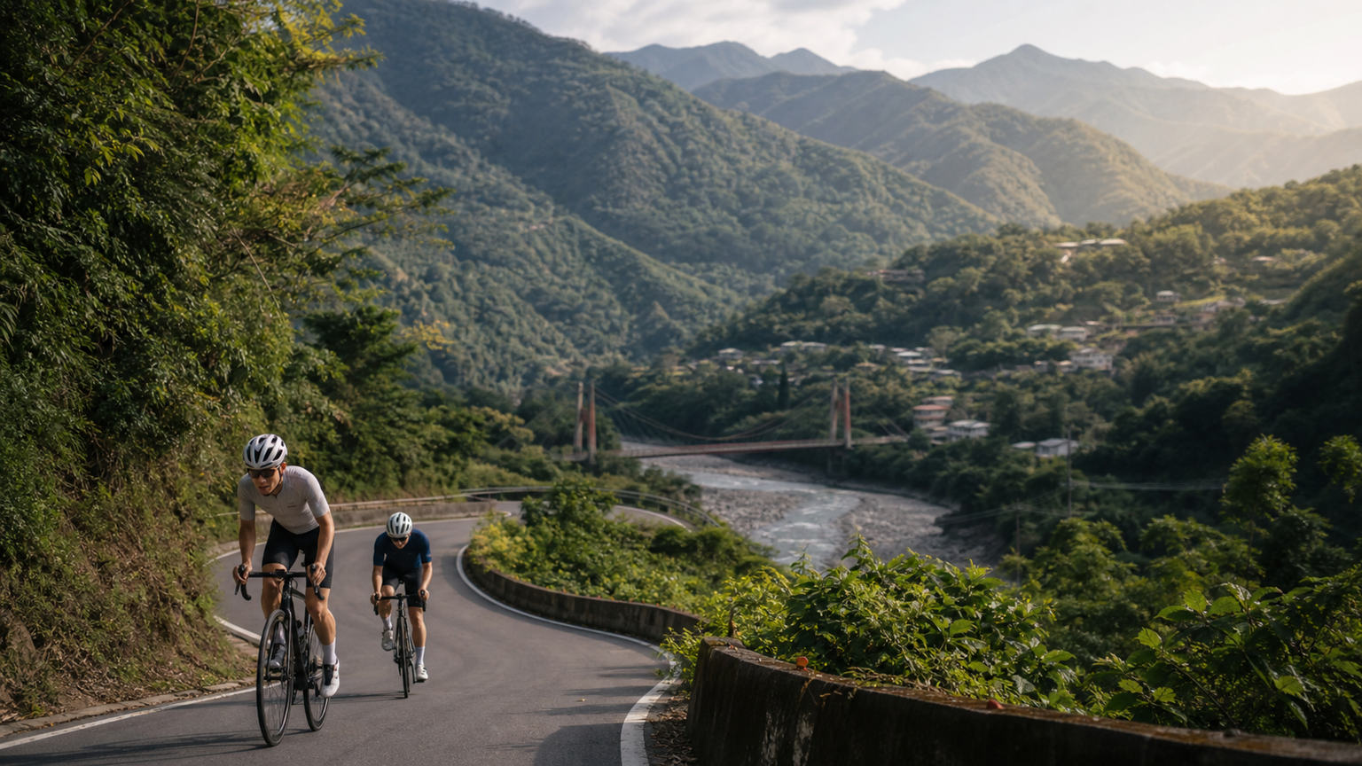
Cycling in the Taoyuan and Hsinchu Mountains: High-Difficulty Climbing Routes in Northern Taiwan’s Suburbs
The Taoyuan and Hsinchu mountain areas sit close to the Taipei metropolitan area, yet they boast the richest mountain cycling resources in northern Taiwan. From Baling on the Northern Cross-Island Highway (Provincial Highway 7) to Lala Mountain, and from Qingquan in Wufeng Township, Hsinchu, to Xiuluan, this mountain region offers a variety of road climbing routes of differing difficulty and rich cultural significance.
This article compiles the most worthwhile cycling routes in the Taoyuan and Hsinchu mountain areas, including route information, difficulty analysis, and indigenous cultural background.
Route 1: Northern Cross-Island Highway (Provincial Highway 7) Taoyuan → Baling
Basic Information
| Item | Data |
|---|---|
| Start | Daxi, Taoyuan (or Fuxing Township’s Taoyuan) |
| End | Baling (highest point of the Northern Cross-Island Highway, approx. 900m) |
| Distance | Approximately 45km from Taoyuan to Baling |
| Elevation Gain | Approximately 1,000 meters |
| Difficulty | Moderate |
Climb Characteristics
The Northern Cross-Island Highway features a “progressive” gradient, with no extremely steep sections, but rather a long, sustained climb. Departing from Jiaobanshan in Fuxing Township (an Atayal cultural stronghold), the route follows the Dahan River Gorge upstream, and the valley terrain keeps the entire route enveloped in a canyon atmosphere.
Key Attractions:
- Jiaobanshan Park: Traditional Atayal settlement and former site of Chiang Kai-shek’s residence
- Luofu Bridge: A scenic suspension bridge spanning the Dahan River
- Daguanshan (Lala Mountain) Nature Reserve: Taiwan’s largest protected area for red cypress and yellow cypress
- Baling Bridge: A spectacular bridge in the canyon with breathtaking views
Seasonal Recommendations:
- Spring (March–April): Peach blossoms and peaches bloom on Lala Mountain
- Summer: Peach harvest season, with abundant produce from the tribes
- Autumn (October–November): Maple leaf season
Route 2: Wufeng Township, Hsinchu → Qingquan (Provincial Highway 122)
Basic Information
| Item | Data |
|---|---|
| Start | Zhudong Township |
| End | Qingquan (Wufeng Township mountain area, approx. 600m) |
| Distance | Approximately 38km |
| Elevation Gain | Approximately 900 meters |
| Difficulty | Moderate |
Qingquan’s Special Cultural Significance
Qingquan was the favorite place of the late Taiwanese writer Sanmao. She visited Qingquan many times, living and creating among the Atayal tribe, leaving behind much writing connected to this landscape. Cyclists riding to Qingquan can pause at the “Former Residence of Zhang Xueliang” (where Chiang Kai-shek kept Zhang Xueliang under house arrest for 11 years) and the “Sanmao Dream House” to feel the historical warmth of this mountain wilderness.
Qingquan Route Characteristics:
- Gradients are mostly 4–7%, with few extremely steep sections
- Beautiful scenery along the Shangping River valley
- An overlapping cultural zone of the Atayal and Saisiyat tribes
Route 3: Wufeng, Hsinchu → Xiuluan (Provincial Highway 7A)
Basic Information
| Item | Data |
|---|---|
| Start | Zhudong Township |
| End | Xiuluan (approx. 800m) |
| Distance | Approximately 50km |
| Elevation Gain | Approximately 1,100 meters |
| Difficulty | Advanced |
The Challenge of Xiuluan
Xiuluan is one of the deepest mountain settlements accessible to ordinary vehicles; going further in requires applying for an indigenous reserve entry permit. The entire route follows Baishi River upstream, with the gradient becoming noticeably steeper in the latter half (7–10%), and resupply points are extremely scarce.
Cultural Background of the Taoyuan and Hsinchu Mountain Areas
The entire Taoyuan and Hsinchu mountain region is the traditional territory of Taiwan’s Atayal people. The Atayal are renowned for their prowess in warfare and hunting, with their culture centered on the core values of “headhunting,” “facial tattooing,” and “gaga (ancestral law).”
Today’s Atayal tribes have moved toward cultural revitalization, and many tribes now feature:
- Atayal Cultural Museums: Near Jiaobanshan and Cinsbu
- Tribal guided tours: Can be arranged by contacting the tribal office in advance
- Traditional weaving crafts: The Atayal are famous for their geometric-patterned textiles in red, black, and white stripes
Resupply Planning
| Location | Resupply Resources |
|---|---|
| Daxi urban area | Convenience stores, restaurants, breakfast shops |
| Fuxing Township (Jiaobanshan) | Convenience stores, traditional markets |
| Baling | Tribal shops, fruit stalls (peaches in summer) |
| Zhudong urban area | Ample resupply options |
| Qingquan | Small tribal shops; it is recommended to bring extra food in advance |
| Xiuluan | Almost no resupply; stock up before departure |
Bike-and-Train Transfer Recommendations
- Take the TRA to “Neiwan” or “Zhudong,” then start the Wufeng route from Zhudong
- Take the Taoyuan Bus to Daxi, then start the Northern Cross-Island Highway from Fuxing
- It is not recommended to carry full luggage; keeping gear lightweight is preferable for these routes
Conclusion
The Taoyuan and Hsinchu mountain areas offer the closest “true mountain cycling” experience to the Taipei metropolitan area. Starting from Taipei, you can reach the trailhead in just 1–2 hours, yet enter a completely different geographical and cultural world. Whether it’s the canyon grandeur of the Northern Cross-Island Highway, the literary sentiment of Qingquan, or the Atayal wilderness of Xiuluan, this mountain region deserves you to slow down and explore in depth.
Related Reading
- Northern Cross-Island Highway (Provincial Highway 7): The High-Mountain Road Cycling Challenge from Taoyuan to Yilan
- Taoyuan Fuxing Township Lala Mountain Route: The Complete Climbing Training Guide for the Northern Cross-Island Highway
- Taoyuan Jiaobanshan and Lala Mountain: Cycling Northern Taiwan’s Mountain Agricultural Roads
- Hsinchu Emei and Beipu Country Routes: Cycling Through Hakka Culture and Rolling Hills
#北橫 + #北進武嶺 最硬的員工旅遊 EP1 | #公路車 #拉拉山 | 明池 | 武嶺 | 武陵農場 | 雲海 | Taiwan Cycling Route Wulin
6 年前
嘉義大埔、阿婆灣挑戰賽,美到以為在日本!ft. 環騎5 Cool 西拉雅188 / 公路車 / CT Yeh
7 個月前
台北闊瀨陡坡 騎旅 / 日本單車雜誌編輯車友臨時加入!/ 髮香才是最強的 / feat. 北迴歸線小隊 / 公路車 CT Yeh
6 個月前
新竹羅平 x 天湖部落 大禹嶺級變態陡坡! 4K超高畫質 空拍 | 公路車
5 年前
一定要騎一次!阿里山最深處:里佳部落!單車旅行 | 2800m爬升 | 深度部落體驗:嗨翻晚會、螢火蟲、銀河 | feat. JJSC & 廢物伙伴 | 公路車 CT Yeh
9 個月前
滿滿的人還有妹子的香,拉拉山上巴陵挑戰行,絕美山陵空拍!feat. JJSC | 公路車 | CT Yeh
3 年前
藤枝二集團 單車行 Day1 | 南部小武嶺 | 爬坡爬到罵罵叫 | JJSC | 公路車 | CT Yeh
3 年前
大武山後門26%歡樂陡坡!JJSC南台灣單車行Day2 / 被颱風追著跑 / 公路車 / CT Yeh
2 年前