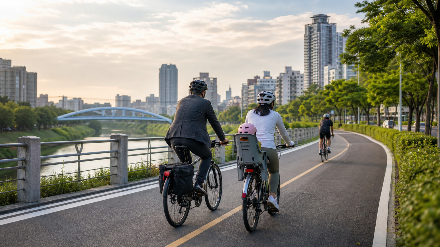
Taichung Metropolitan Cycling Map: Complete Guide to Commuter and Leisure Bike Routes
Taichung is the largest city in central Taiwan and one of the most proactive cities in Taiwan when it comes to building cycling networks. From the city’s ring bike lanes and the coastal Dajia River bike path to the Houfeng Bike Trail at the foothills, Taichung offers a diverse cycling environment that caters to commuters, weekend leisure riders, and long-distance cycling enthusiasts alike.
Overview of Taichung’s Cycling Network
Taichung’s bike lanes, either under construction or already completed, total more than 400 kilometers and are divided into the following major systems:
| System | Main Routes | Total Length | Features |
|---|---|---|---|
| Ring System | Ring City Greenway (planned) | Approx. 80km | Connects all administrative districts in the city |
| River System | Dajia River, Fazi River, Han River | 50–80km per section | Riverside scenery, good shade |
| Foothill System | Houfeng Bike Trail, Dongfeng Bike Path | Approx. 45km | Converted from decommissioned railway lines, no elevation gain |
| Coastal System | Da’an, Dajia coastal bike paths | Approx. 30km | Coastal scenery |
Featured Route 1: Houfeng Bike Trail (Dongfeng Green Corridor)
Route Information
| Item | Data |
|---|---|
| Total Length | Approx. 45km (Fengyuan→Shigang→Dongshi, both directions) |
| Surface | Dedicated bike path, motorcycles prohibited throughout |
| Elevation Gain | Nearly flat (converted from a decommissioned railway line) |
| Difficulty | Very easy, suitable for all ages |
| Bike Rentals | Rental stations available in Fengyuan, Shigang, and Dongshi |
Highlights
The Houfeng Bike Trail was converted from the abandoned Dongfeng Railway. Along the route, several preserved railway facilities remain, including the old Shigang Station and old bridge piers, making it the most culturally rich bike path in Taichung.
Highlights along the way:
- Shigang Old Street: A small town preserving its Japanese colonial-era character
- Dajia River Bed: Vast gravel riverbed with views of distant Snow Mountain
- Dongshi Forest Farm: A forest recreation area near the endpoint
Best suited for: Families with children, seniors, first-time riders
Featured Route 2: Fazi River Bike Path
Route Information
| Item | Data |
|---|---|
| Total Length | Approx. 27km |
| Surface | Concrete + asphalt, some dirt trails |
| Features | Passes through downtown Taichung, connecting multiple parks |
| Difficulty | Easy |
Highlights
The Fazi River Bike Path runs from Beitun through Xitun to Longjing, making it one of the most convenient commuting corridors in Taichung. Along the way, it connects key nodes such as the Central Taiwan Science Park, Taichung Wuri Station, and Taiwan Boulevard, making it a popular route for office workers commuting by bike.
Featured Route 3: Dajia River Bike Path
Route Information
| Item | Data |
|---|---|
| Total Length | Approx. 80km (Taichung Port→Shigang) |
| Surface | Mostly asphalt pavement |
| Features | Follows the Dajia River from the estuary to the foothills |
| Difficulty | Easy to moderate |
Highlights
This route lets you ride through Taichung’s geographic depth, starting from Taichung Port on the coast and heading upstream along the Dajia River, experiencing the terrain gradually shifting from coastal alluvial plains to rolling hills. Along the way, the Da’an Wetlands, Qingshui Service Area, and Taichung Port Special Zone offer rest and supply stops.
Recommended Commuting Routes
For commuting within Taichung’s urban area, the following routes are recommended:
Taichung Station ↔ Fengchia Shopping District (approx. 12km)
Bike lanes are available along Taiwan Boulevard, but be mindful of safety at intersections. During peak hours, it is advisable to avoid Taiwan Boulevard and instead take the parallel Yingcai Road or Meicun Road.
Taichung Station ↔ National Museum of Natural Science ↔ Park Lane by CMP (approx. 5km)
A refined short ride through the heart of Taichung that connects multiple lifestyle hubs, ideal for a relaxing pedal after work.
Using YouBike in Taichung
Taichung’s YouBike (public bike-sharing) system covers the urban area and parts of the suburbs. You can quickly rent a bike using an EasyCard or mobile payment:
- Number of stations: Over 600 stations (continuously increasing)
- Fee: First 30 minutes free, then NT$10 per 30 minutes
- Best for: Short-distance trips, connecting to buses or the MRT
Recommended Road Bike Training Spots
| Location | Route | Elevation Gain | Features |
|---|---|---|---|
| Dakeng Scenic Area | Mountain loop, approx. 20km | Approx. 500m | Closest climbing training spot to Taichung |
| Central Cross-Island Highway (Provincial Highway 8) | Fengyuan→Guguan, approx. 35km | Approx. 600m | Canyon scenery, moderate difficulty |
| Provincial Highway 21 | Yuchi→Sun Moon Lake, approx. 20km | Approx. 400m | Sun Moon Lake lakeside loop route |
Conclusion
Taichung’s cycling environment ranks among the best of Taiwan’s major cities. Whether you’re an office worker commuting daily, a parent taking the kids out on weekends, or an advanced rider seeking training grounds, Taichung has a suitable route waiting for you.
Bring your EasyCard for YouBike, or gear up your trusty steed, and find your own cycling rhythm along Taichung’s city streets and riverside green corridors.
Related Reading
- Taichung Metropolitan Bike Paths: From Houfeng Bike Trail to Dongfeng Bike Path
- Taipei to Taichung Cycling Route: The Complete Intercity Riding Guide
- Taipei City Bike Lane System: A Complete Network Guide for Urban Cycling
- Introduction to Taiwan’s Bike Path Systems: Features and Connections of Bike Lanes Across Counties and Cities
高雄綠園道鐵路自行車道 / 外地人能輕鬆駕馭 還是整路崩潰? / 2025 全線開通 春節實地探索一次!(附GPS連結)/ 公路車 / CT Yeh
1 年前
爬坡ITT實境)台中 魔王 松鼠坡 首航 6:12 大肚山 大三元 科福路
8 年前
台中大雪山 膏王領騎 震到都沒畫面了 公路車
5 年前
太平山單車員工旅遊 | 這樣玩CP值最高!| 公路車
5 年前
半日 小台灣 極限單車路線挑戰實錄
7 年前
浪漫 #臺三線 #單車 員工旅遊 桃園到台中 老少咸宜 環台賽 路線探索
6 年前
車隊介紹) 台北 一年開團365天 車隊 Apollo Ride 晨騎 好選擇 ( 陽明山 風櫃嘴 冷水坑 平等里 聖人 關渡 大稻埕 ) 找人騎車
7 年前
2023自行車展!與環台賽選手一同表演賽 / 全自動AI Fitting?/ TIME新車發表/神秘充電桌等 精華分享 VLOG | CT Yeh | 公路車
3 年前