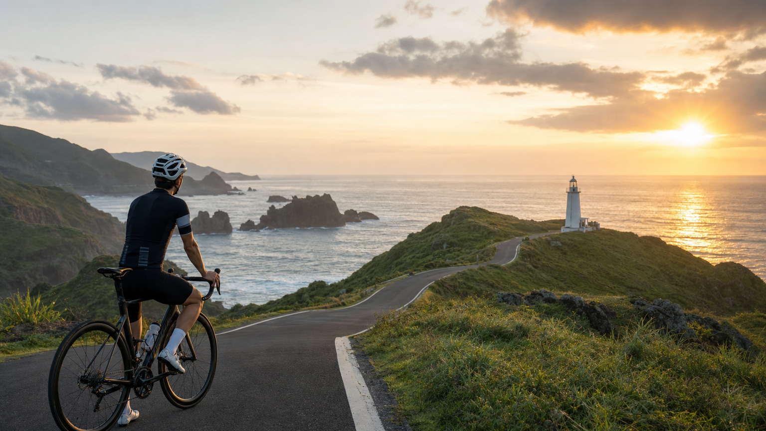
A Cycling Pilgrimage to Taiwan’s Easternmost Point: Sandiao Cape Lighthouse
Sandiao Cape, the easternmost point of the Taiwan mainland, at 25°00’N, 121°59’E, is the first place in Taiwan to greet the sunrise. The Sandiao Cape Lighthouse, built in 1935 (during the Japanese colonial period), remains an important navigational beacon between the Taiwan Strait and the Pacific Ocean.
For cyclists, riding to Sandiao Cape Lighthouse is a form of “geographical pilgrimage”—reaching Taiwan’s easternmost point, witnessing a Pacific sunrise that can only be seen here, and experiencing the unique grandeur of standing at the edge of the island.
Route Options
There are several routes to reach Sandiao Cape Lighthouse:
Route A: North Coast Route (Provincial Highway 2)
| Item | Details |
|---|---|
| Starting Point | Ruifang (or Keelung) |
| Route | Provincial Highway 2 coastal road heading east |
| Distance (Ruifang → Sandiao Cape) | Approx. 32 km |
| Total Elevation Gain | Approx. 600 m |
| Highlights | Bitou Cape, Longdong, Mao’ao Fishing Village |
| Difficulty | Moderate |
Scenic highlights along Provincial Highway 2:
- Bitou Cape (15 km): Taiwan’s most important headland formation, with dense sea stacks and sea arches, featuring a lighthouse and trails
- Longdong (20 km): Taiwan’s most famous rock-climbing destination, with hard sandstone cliffs plunging into the Pacific
- Longdong Bay Ocean Park: Snorkeling and swimming facilities
- Mao’ao Fishing Village (28 km): A small settlement preserving the culture of stone-house fishing villages, a rare traditional fishing village relic in Taiwan
Route B: Diaoling Historic Trail (Mountain Route)
| Item | Details |
|---|---|
| Starting Point | Shuangxi Township (Shuangxi TRA Station) |
| Route | Provincial Highway 2C connecting to County Road 102 |
| Distance | Approx. 28 km |
| Total Elevation Gain | Approx. 500 m |
| Highlights | Rural scenery, fewer tourists |
| Difficulty | Moderate |
Sandiao Cape Lighthouse: The Significance of the Landmark
Sandiao Cape Lighthouse stands approximately 16 meters tall and is one of the most important lighthouses in northern Taiwan. The cape on which the lighthouse sits juts prominently into the sea, offering a 360-degree view of the meeting point between the Pacific Ocean and the Taiwan Strait.
Lighthouse facts:
- Year built: 1935 (Japanese colonial period)
- Light range: Approx. 21 nautical miles
- Every New Year’s Day, Taiwanese media outlets broadcast Taiwan’s first dawn from this location
- Currently designated as a third-class historic site in Taiwan
Sunrise Pilgrimage: How to See the First Sunrise at Sandiao Cape
Sandiao Cape is the first place on the Taiwan mainland to greet the sunrise, making a ride here to watch the dawn the ultimate travel experience.
Planning tips:
- Stay overnight in Ruifang or Gongliao the night before
- Depart between 4:00–4:30 AM, adjusting by season (summer sunrises are earlier, around 5:20 AM; winter around 6:40 AM)
- Ride approximately 2–2.5 hours to reach the lighthouse
- Arrive before sunrise and find a good spot to wait
Sunrise time reference:
| Month | Sunrise Time |
|---|---|
| Jan–Feb | Approx. 6:20–6:40 AM |
| Mar–Apr | Approx. 5:50–6:10 AM |
| May–Jun | Approx. 5:15–5:30 AM |
| Jul–Aug | Approx. 5:20–5:35 AM |
| Sep–Oct | Approx. 5:40–6:00 AM |
| Nov–Dec | Approx. 6:00–6:30 AM |
Supplies Along the Route
| Location | Supply Status |
|---|---|
| Ruifang urban area | Full supplies, convenience stores, breakfast shops |
| Bitou Cape | Vendors on weekends, scarce on weekdays |
| Longdong | Supply station at the Ocean Park entrance |
| Mao’ao Fishing Village | Small grocery store, unreliable |
| Sandiao Cape Lighthouse | No supplies, bring your own |
Return Options
There are several options for returning to Taipei from Sandiao Cape Lighthouse:
- Ride back the same way to Ruifang (approx. 32 km), then take the TRA back to Taipei (folding bikes allowed; road bike riders should confirm bicycle transport schedules)
- Continue south on Provincial Highway 2, connect to Provincial Highway 2B to Fulong, then take the TRA Yilan Line back to Taipei
- Fulong → Yilan loop: If you have enough energy, continue riding toward Yilan and take the TRA back
The Unique Landscape from Bitou Cape to Sandiao Cape
This stretch of coastline is unforgettable for riders because it showcases the richest coastal terrain in Taiwan’s Northeast Coast:
- Sea stacks: Limestone or sandstone pillars isolated in the sea by wave erosion
- Sea caves: Cavities carved into rock faces by waves
- Fringing reefs (wave-cut platforms): Flat zones where coastal rocks have been leveled by wave action
- Reef coast: The hard rocky reef coastline unique to Taiwan’s Northeast Coast, distinctly different from the sandy shores of the west coast
Conclusion
Riding to Sandiao Cape is neither the hardest route nor the one with the most climbing, but it carries a special sense of meaning: you are riding to the easternmost point of the Taiwan mainland, the place that greets the sun first every day.
If you’ve waited for a sunrise at Sandiao Cape in the early morning, watching the sun slowly rise above the Pacific horizon, its golden light spreading across that boundless blue, you’ll understand why this journey is worth riding again and again.
Related Reading
- Complete Guide to Taiwan’s Northeast Coast Golden Coast Cycling Route
- Pingtung Hengchun Peninsula Loop: Coastal Cycling from Eluanbi Lighthouse to Kenting
- Taiwan Cycling Around the Island Southern Section: Tropical Riding from Pingtung to Taitung
- Taiwan’s Most Beautiful Coastal Cycling Route: The North Coast Ride from Keelung to Yilan
4K 三貂角 空拍 單車之旅
9 年前
風櫃嘴 | 全台最多大砲的單車路線 | 尋寶網攝影師告訴你怎麼擺拍起來才好看 | 熱門攝影地點巡禮
6 年前
虎豹潭!日本老師來台一日約騎 台灣車友熱情招待私房路線 / CT Yeh
20 天前
半日 小台灣 極限單車路線挑戰實錄
7 年前
阿里山塔塔加 兩倍特濃版!全新隧道開通! 進喔!公路車 | CT Yeh
3 年前
嘉義大埔、阿婆灣挑戰賽,美到以為在日本!ft. 環騎5 Cool 西拉雅188 / 公路車 / CT Yeh
7 個月前
微東進 太魯閣 蘇花 單車兩日遊 ! 颱風過後路況超刺激 行程大亂 | 最狂的鹹酥雞訂單 | CT Yeh | 4K 高畫質空拍絕景!
4 年前
金門 ! 我騎過最棒的離島了 / 最後可以騎車上金門大橋的機會!?/ 公路車 / CT Yeh
1 年前