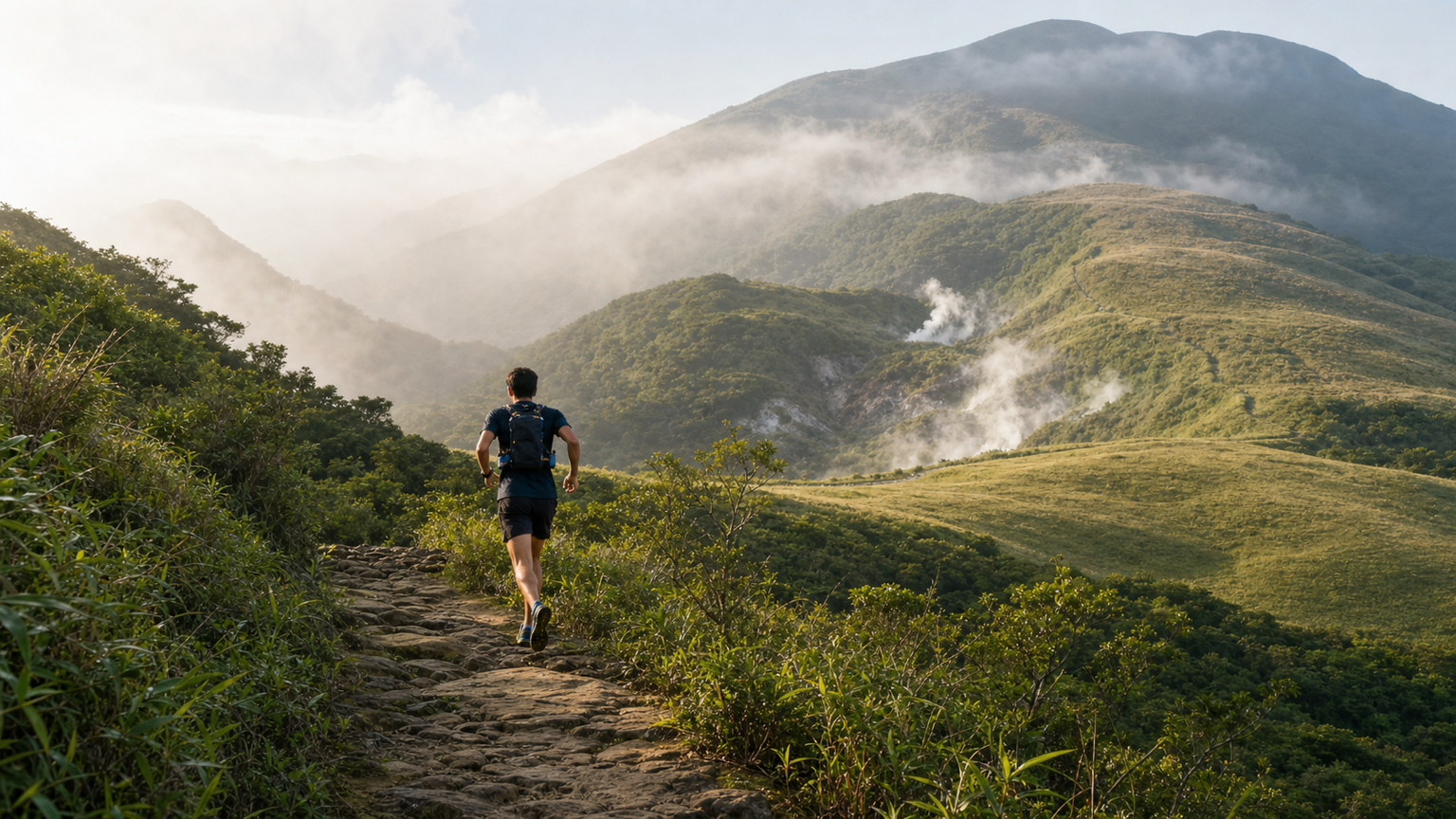
Yangmingshan Trail Running: A Forest Experience from Beitou to Qingtiangang
Located just a 30-minute drive from downtown Taipei, Yangmingshan National Park is a paradise for trail runners. The interplay of volcanic terrain, sulfur hot springs, silver grass plains, and broadleaf forests makes every trail a delightful surprise. Starting from the Beitou hot spring area and climbing to the Qingtiangang grassland, this route brings together the diverse faces of the city, hot springs, forests, and highlands.
Route Information
| Item | Details |
|---|---|
| Start | Beitou MRT Station or Beitou Hot Spring Museum |
| End | Qingtiangang Grassland |
| Distance | Approx. 12–15 km (one way) |
| Cumulative Elevation Gain | Approx. 700–900 m |
| Difficulty | Intermediate to Advanced |
| Surface | Stone paths, dirt trails, grassland |
Route Description
Section 1: Beitou Hot Spring Area (0–3 km)
Starting from Beitou MRT Station, climb along Zhongshan Road, passing the Beitou Hot Spring Museum and public bathhouses. This section is a mix of asphalt and stone paths with a gentle gradient, making it a good warm-up stretch. In the early morning, a faint sulfur scent lingers in the air, reminding you that you have entered volcanic terrain.
Section 2: Xingyi Road to Reshuikeng (3–6 km)
After turning onto Xingyi Road, the gradient gradually increases. Along the way, you will see white ginger lilies and plants endemic to Taiwan’s low elevations. The sight of natural hot springs bubbling at Reshuikeng is breathtaking, and it is a spot where many runners like to stop for photos.
Note: The ground temperature near Reshuikeng is high; do not walk barefoot.
Section 3: Erziping Trail (6–10 km)
Erziping is a famous flower-viewing spot in Yangmingshan, with calla lilies blooming across the area in spring and silver grass swaying in autumn and winter. The trail is wide and flat, ideal for an easy run. Along the way, you may spot birds such as the Taiwan blue magpie and bamboo partridge, making it an ecologically rich natural corridor.
Section 4: Qingtiangang Grassland (10–15 km)
Upon reaching Qingtiangang, the view opens up before your eyes. This alpine grassland, at an elevation of about 770 meters, is grazed by Taiwan’s native yellow cattle, with views stretching as far as Keelung Harbor and the Taipei Basin. Stop here to rest and refill your water, taking in the rare sense of openness and tranquility so close to the city.
Trail Running Gear Recommendations
- Trail running shoes: Look for slip-resistant outsoles, such as HOKA Speedgoat or Salomon Speedcross
- Hydration pack: 1.5–2 L bladder with pockets for snacks
- Trekking poles (optional): Save energy on climbs and protect your knees on descents
- Windbreaker: It is windy at Qingtiangang; bring one even in summer
- First aid kit: Basic band-aids and elastic bandages
Seasonal Recommendations
- Spring (March–May): Calla lilies in full bloom, cool weather—the best season
- Summer (June–August): Start early and return early to avoid afternoon thunderstorms
- Autumn (September–November): Silver grass season, the most scenic views
- Winter (December–February): Cold, wet, and foggy; pay attention to cold-weather protection
Transportation
Take the MRT to Beitou Station, then transfer to Bus 230 to reach Sulfur Valley along the way, or take Bus 260 to Qingtiangang. Those driving can park at the Beitou District Bus Terminal.
Yangmingshan’s trail routes are not just a physical workout—they are a journey of escape from the city. Every time you reach Qingtiangang and watch the Taipei Basin unfold below your feet, all the fatigue is worth it.
Related Reading
- Yangmingshan Trail Marathon: The Complete Guide to Trail Running on Volcanic Terrain
- Selected Northern Mountain Routes: A Comparison of Riding Routes in Yangmingshan, Wulai, and Pinglin
- Recommended Trail Running Training Spots in Taiwan: Routes Across the North, Central, and South
- Taipei Yangmingshan Cycling Route: The Climbing Experience from Yangde Avenue to Zhuzihu
半日 小台灣 極限單車路線挑戰實錄
7 年前
觀霧 變好騎了! | 北高車友爆笑大會師 | 公路車 | 單車旅遊 Taiwan Cycling Route GuanWu
6 年前
暖東峽谷 姜子寮 台灣驚險山林秘境系列實記
7 年前
爬坡ITT實境)台中 魔王 松鼠坡 首航 6:12 大肚山 大三元 科福路
8 年前
#北橫 + #北進武嶺 最硬的員工旅遊 EP1 | #公路車 #拉拉山 | 明池 | 武嶺 | 武陵農場 | 雲海 | Taiwan Cycling Route Wulin
6 年前
單車 一日北高 ( 雙城 ) 肥宅雙人瘋狂行 紀錄片 REACTO
10 年前
太平山單車員工旅遊 | 這樣玩CP值最高!| 公路車
5 年前
北宜騎車⋯好刺激 差點被🐒尻 / 露營單車旅 / 公路車後背攜車架開箱!/ 百人大團露 / YAKIMA 設備開箱儀式感都來了 / 公路車 / CT Yeh
12 個月前