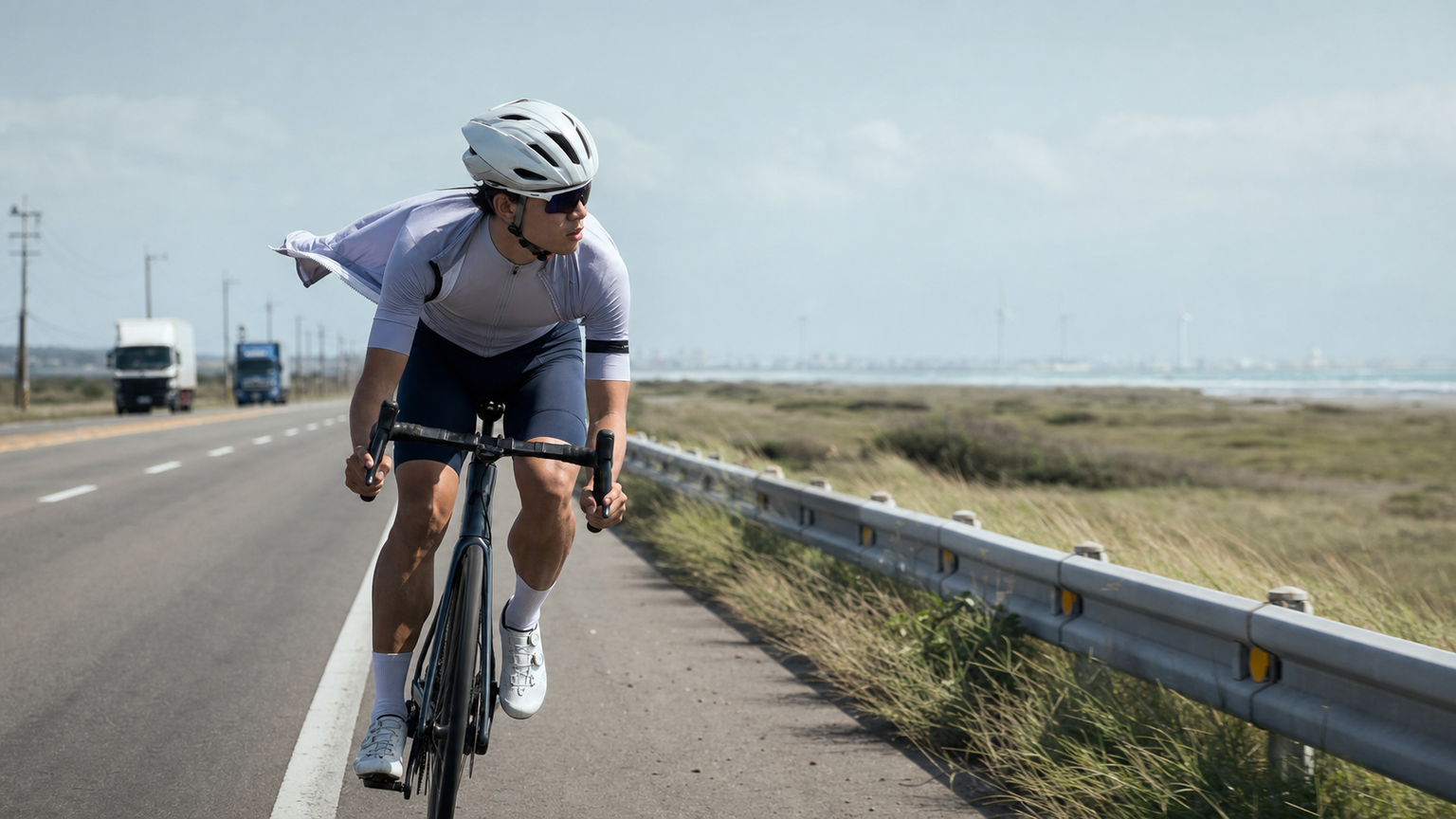
The First Leg Is the One That Talks People Out of It
Taiwan’s Ministry of Transportation and Communications mapped out “Round-Island Route 1,” roughly 960 km in total. Most riders set out counterclockwise from Taipei, and the first leg — Taipei to Taichung — covers about 180 km. There are no dramatic mountains here, just cities blending into industrial zones, yet this stretch is the psychological gate that decides whether a round-island trip survives. You essentially have two route choices.
Comparing the Two Routes
| Route | Distance | Character | Risk |
|---|---|---|---|
| Provincial Highway 61 (western coastal expressway) | ~170 km | Flat, few traffic lights, fast pace | Strong crosswinds, heavy truck traffic, monotonous scenery |
| Provincial Highway 1 (inland) | ~185 km | Frequent supply points, passes through many towns | More traffic lights, chaotic city traffic |
The Coastal Wind Can Genuinely Blow You Off Your Bike
Highway 61 runs through open terrain, and from Zhunan to Houlong crosswinds regularly hit Beaufort force 7 or higher — riders have been blown out of their lane before. The upside is that supply points are spaced predictably and average speed is high. Ride in a lower position, hold the drops, and keep lateral distance from trucks.
Day-One Timeline and Milestones (Using the Inland Route 1 as an Example)
Breaking 180 km into “station to station” segments is far less demoralizing than staring at the total distance. Here’s a practical single-day timeline:
| Time | Milestone | Cumulative Distance | Notes |
|---|---|---|---|
| 06:00 | Depart Taipei (suggested: Highway 1A connecting to Highway 1) | 0 km | Leave the city early while traffic is light |
| 09:00 | Taoyuan / Zhongli | ~45 km | First real meal stop |
| 11:30 | Hsinchu City God Temple | ~75 km | Refuel on carbs with rice noodles and meatballs, rest 30 minutes |
| 14:30 | Yuanli / Tongxiao, Miaoli | ~120 km | A coastal-line train station — retreat by train here if you’re running out of steam |
| 17:30 | Dajia — Taichung | ~180 km | Lodging and dinner near the Mazu Temple |
Building “retreat by train from a coastal-line station” into the plan isn’t giving up — it’s the safety net that gives you the courage to start.
Handling Coastal Crosswinds
If you choose Highway 61, the exposed levee section from Zhunan to Houlong is the most dangerous stretch. When crosswinds hit force 7 or above, the wind can push your whole body inward, and if that eats into your lateral buffer from trucks on your right, it becomes genuinely dangerous. Key techniques: hold the drops to lower your center of gravity and wind profile, grip firmly with both hands, brace your core before bridges and underpass exits (where wind suddenly intensifies or shifts direction), and keep at least one bike-length of lateral buffer from large trucks. If the wind gets too strong to control your line, the most sensible call is to dismount and walk the bike, or switch to Highway 1 — that’s not weakness, it’s a safety standard that coastal-route veterans all respect.
Mental Preparation
Most of Day One’s fatigue is mental rather than physical. Breaking the goal into small chunks — “get to Hsinchu first,” “then to Miaoli” — is much easier to complete than fixating on 180 km. Treat each day’s supply stop as a reward checkpoint, and let yourself rest properly for 10 to 15 minutes at each one before continuing.
Supply Stops
- Hsinchu: Refuel on carbs with street food near the City God Temple
- Tongxiao / Yuanli, Miaoli: Coastal-line train stations offer an emergency retreat option
- Dajia: Plenty of food options near the Mazu Temple, close to Taichung
The truth about riding around the island: the most beautiful mountains and coastlines all come later. The hardest part is the flat road on day one. Push through this unglamorous stretch of the west, and Taiwan will start to open up for you.
Related Reading
- Round-Island Route 1: Complete 9-Day, 8-Night Classic Route Planning Guide
- Day One of the Round-Island Trip: Route Planning and Tips from Taipei to Toucheng
- My First Taiwan Round-Island Trip: A Complete 14-Day Beginner’s Handbook from Planning to Finish
- Planning a Taiwan Round-Island Cycling Route: Clockwise vs. Counterclockwise Strategy
嘉義大埔、阿婆灣挑戰賽,美到以為在日本!ft. 環騎5 Cool 西拉雅188 / 公路車 / CT Yeh
7 個月前
藤枝二集團 單車行 Day1 | 南部小武嶺 | 爬坡爬到罵罵叫 | JJSC | 公路車 | CT Yeh
3 年前
浪漫 #臺三線 #單車 員工旅遊 桃園到台中 老少咸宜 環台賽 路線探索
6 年前
車隊介紹) 台北 一年開團365天 車隊 Apollo Ride 晨騎 好選擇 ( 陽明山 風櫃嘴 冷水坑 平等里 聖人 關渡 大稻埕 ) 找人騎車
7 年前
台北闊瀨陡坡 騎旅 / 日本單車雜誌編輯車友臨時加入!/ 髮香才是最強的 / feat. 北迴歸線小隊 / 公路車 CT Yeh
6 個月前
金門 ! 我騎過最棒的離島了 / 最後可以騎車上金門大橋的機會!?/ 公路車 / CT Yeh
1 年前
爬坡ITT實境)台中 魔王 松鼠坡 首航 6:12 大肚山 大三元 科福路
8 年前
半日 小台灣 極限單車路線挑戰實錄
7 年前