Introduction
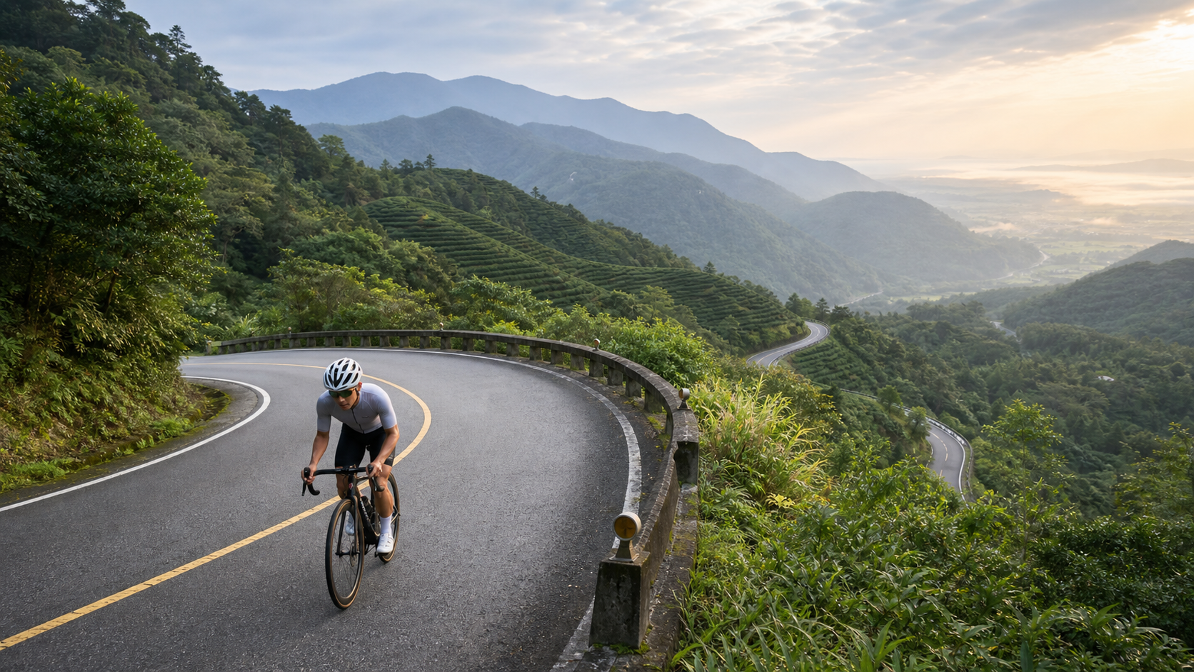
Before the Hsuehshan Tunnel opened, the Beiyi Highway was the only land route connecting Taipei to Yilan. That winding ridge road with its nine bends and eighteen curves remains a deep memory for countless travelers. Today, the Beiyi Highway attracts people in a different way—riding a road bike, measuring every curve with your legs, and experiencing the transition from mountain forests to the coast. This is a way of traveling that no other mode of transportation can replicate.
Route Overview
| Section | Distance | Climb/Descent | Road Condition | Difficulty |
|---|---|---|---|---|
| Pinglin → Wutuku (starting point) | Approx. 5 km | Climb approx. 150 m | Good | Easy |
| Wutuku → Beiyi Highway summit (approx. 750 m elevation) | Approx. 18 km | Climb approx. 600 m | Good | Moderate to hard |
| Summit → Jiaoxi/Yilan City | Approx. 22 km | Descent approx. 700 m | Good | Braking requires caution |
| Full route (Taipei Muzha → Yilan City) | Approx. 65 km | Climb approx. 850 m | Good | Moderate |
Pinglin: The Supply Base at the Starting Point
Most riders choose to depart from MRT Xindian Station or Taipei Muzha, following Provincial Highway 9 into the Xindian River valley, passing through Shenkeng and Shiding before arriving at Pinglin. Pinglin is a tea town famous for its pouchong tea, with tea shops lining the streets. Before officially starting the climb, it is recommended to stock up on water, energy bars, and most importantly—a cup of freshly brewed cold-brew tea.
The riverside park next to the Pinglin Tea Industry Museum has bicycle parking and restrooms, making it an ideal staging point for departure.
From Wutuku to the Summit: The Test of Nine Bends and Eighteen Curves
Past Pinglin heading toward Yilan, Provincial Highway 9 gradually narrows, the forest grows denser, and the road begins to climb in a series of switchbacks. The average gradient on this section is between 6% and 8%, with the steepest local sections reaching 10%. The total climbing elevation is about 600 meters, making this the most physically demanding part of the entire route.
There is almost no shade along the way, so an early morning departure is recommended to avoid the midday heat. Occasional viewpoints offer glimpses of Pinglin’s tea terraces and the winding Beishi River, giving tired legs a fresh surge of motivation.
Near the summit, there is a small rest stop that may sell drinks or light snacks depending on the weather. This is also the highest point marking the divide between the Taipei side and the Yilan side. Standing on the ridge, one side looks down into the tea town nestled in the valley, while the other reveals the vast basin of the Lanyang Plain—a spectacular view.
Descending into Yilan: Balancing Speed and Caution
From the summit toward Jiaoxi, the road descends rapidly through sharp curves, dropping more than 700 meters. Some corners have tight radii and reflective road surfaces, so maintaining a moderate speed is essential even on sunny days. It is recommended to alternate between front and rear brakes to avoid locking either wheel.
- Hydration on the descent: Although the perceived temperature drops during high-speed descents, your body continues to lose fluids, so stop periodically to rehydrate.
- Wheelset choice: If using carbon wheels, the risk of overheating from prolonged braking is higher, so carry spare tubes for summer conditions.
- No night riding: The Beiyi Highway has insufficient lighting at night, so it is strongly recommended to complete the descent before sunset.
The Yilan Section: Easy Pedaling on the Plain
Upon arriving in Jiaoxi, the flat Lanyang Plain welcomes your tired legs. The Jiaoxi hot spring commercial area offers numerous soaking options, and a post-ride soak is a ritual for many riders. If time permits, you can extend your ride along Provincial Highway 7 toward Luodong and the Dongshan River area to experience the rural charm of the Yilan Plain (see Part 8 of this series).
Practical Tips
Transportation
- Taipei → Pinglin: You can take a bus (Capital Bus) with your bike’s wheels removed to avoid spending energy on urban commuting.
- Yilan → Taipei: You can take the Kamalan Bus, which has space for bikes under the seats (confirm in advance whether your scheduled trip allows bikes).
Seasonal Advice
- Best months: October to March of the following year, when visibility at the summit is good and temperatures are moderate.
- Avoid: The plum rain season (May–June) when wet roads are dangerous; and the period after typhoons while rockslides are being cleared.
Supply Checklist
- Stock up on water in Pinglin (at least 1.5 liters)
- Energy supplies (gels or energy bars) recommended every 45 minutes
- Spare tubes and repair tools (if you get a flat on the mountain road, help is far away)
Conclusion
The cycling experience on the Beiyi Highway is the most profound way to connect Taipei and Yilan. Those curves are not just bends in the road—they are a dialogue between the rider and the mountains. When you finally stand at the summit and see the Yilan Plain spread out at the foot of the mountain, all the sweat becomes mileage worth bragging about.
Related Reading
- Beiyi Highway (Provincial Highway 9) Riding Guide: Gradient Analysis of the 9 Bends and 18 Curves
- Yilan Beiyi Highway Riding Guide: The Challenging Route from Taipei to Yilan Crossing the Snow Mountains
- Taipei to Yilan: Choosing Between the Beiyi Highway and Provincial Highway 2
- Shiding and Pinglin Tea Country Riding: A Mountain Road Experience of Northern Taiwan’s Tea Culture
北宜騎車⋯好刺激 差點被🐒尻 / 露營單車旅 / 公路車後背攜車架開箱!/ 百人大團露 / YAKIMA 設備開箱儀式感都來了 / 公路車 / CT Yeh
12 個月前
#北橫 + #北進武嶺 最硬的員工旅遊 EP1 | #公路車 #拉拉山 | 明池 | 武嶺 | 武陵農場 | 雲海 | Taiwan Cycling Route Wulin
6 年前
太平山單車員工旅遊 | 這樣玩CP值最高!| 公路車
5 年前
#北宜 #北進武嶺 單車員工旅遊 | 環山部落空拍大景!壯闊俯瞰視角! | 類97850|E01 | #公路車 | CT Yeh
4 年前
台北闊瀨陡坡 騎旅 / 日本單車雜誌編輯車友臨時加入!/ 髮香才是最強的 / feat. 北迴歸線小隊 / 公路車 CT Yeh
6 個月前
一定要騎一次!阿里山最深處:里佳部落!單車旅行 | 2800m爬升 | 深度部落體驗:嗨翻晚會、螢火蟲、銀河 | feat. JJSC & 廢物伙伴 | 公路車 CT Yeh
10 個月前
藤枝二集團 單車行 Day1 | 南部小武嶺 | 爬坡爬到罵罵叫 | JJSC | 公路車 | CT Yeh
3 年前
台北大雁西飛 約騎挑戰 feat. Doris | 公路車 | CT Yeh
3 年前