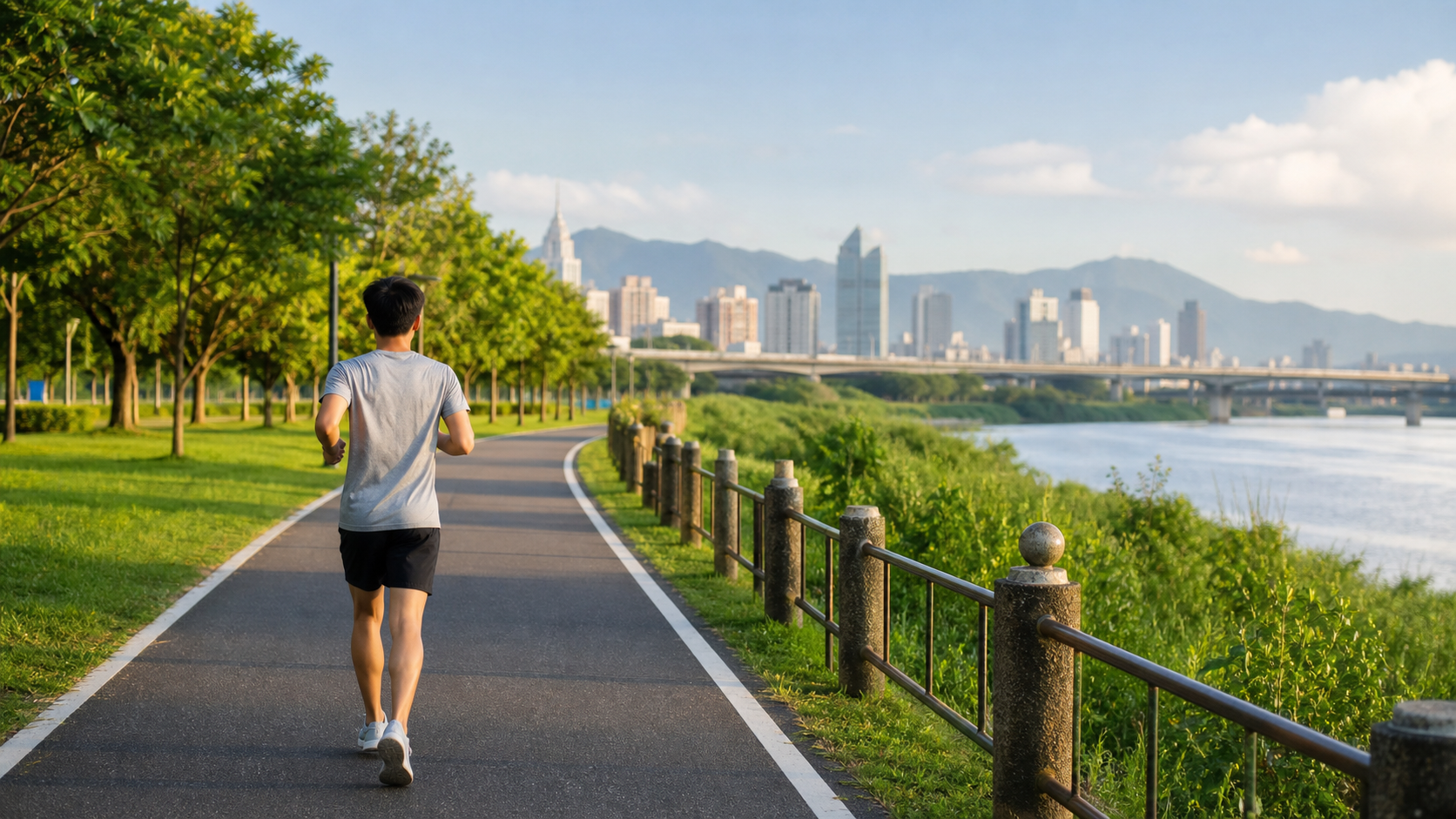
Introduction
The question of “where to run” may seem simple, but it has a greater impact on your running experience than most people realize. Surface material, elevation, scenery, safety, and convenience—these factors combined determine how you feel every time you head out for a run.
There are several particularly important considerations for beginners when choosing a running route. This article first explains the general principles, then provides specific recommendations for Taiwan’s major cities.
5 Principles for Beginners Choosing Running Routes
Principle 1: Prioritize Flat, Paved Surfaces
Beginners’ bones and connective tissues have not yet fully adapted to the impact of running, so it’s recommended to start on surfaces with more cushioning:
| Surface Type | Impact | Beginner Suitability | Notes |
|---|---|---|---|
| Rubber track | Lowest | Best | School tracks, stadium tracks |
| Asphalt | Low to medium | Good | Most riverside trails |
| Concrete sidewalk | Medium to high | Acceptable | Common but harder |
| Stone pavement | High | Not recommended | Uneven and hard |
| Dirt trail | Low but unstable | After advancing | Higher risk of ankle sprains |
Principle 2: Choose Routes with Measured Distances
When building pace awareness early on, routes with clear distance markers are very helpful. Most riverside bike paths in Taiwan have kilometer markers or distance signs.
Principle 3: Safety First
- Avoid busy main roads with heavy traffic
- Routes with streetlights (important for morning or evening runs)
- Public spaces with foot traffic (especially important for female runners)
Principle 4: Convenient Hydration Access
Taiwan’s climate is hot, so having restrooms and water fountains near the route is an important bonus.
Principle 5: Good Views and Attractive Scenery
The psychological aspect of running is very important. Routes with beautiful scenery make it easier to distract yourself from fatigue during a run and make you look forward to the next outing.
Beginner Route Recommendations for Taiwan’s Major Cities
Taipei City
Dajia Riverside Park (Yuanshan to North Bridge Section)
- Distance: Approximately 5 to 8 km one way, adjustable based on needs
- Features: Flat asphalt path throughout, distance markers, complete facilities (restrooms, water fountains, parking)
- Best time: Early morning or evening; avoid daylight hours in summer
- MRT access: About a 5-minute walk from Yuanshan Station exit
Daan Forest Park Outer Loop
- Distance: Approximately 1.5 km per loop
- Features: Lush greenery, clear paths, close to MRT station
- Suitable for beginners doing short-distance repeat training
New Taipei City
Xindian Bitan Riverside Trail
- Distance: From Bitan Bridge to the trailhead of Mt. Hemei, approximately 3 to 5 km one way
- Features: Beautiful riverside scenery, even surface, weekend running community group training sessions
Tamsui River Left Bank Bike Path
- Distance: From Daqiaotou to Tamsui Station, approximately 25 km total (beginners can choose a section)
- Features: Distance markers, complete facilities, MRT access to any point along the route
Taoyuan City
Taoyuan Nankan River Riverside Trail
- Distance: Can plan 5 to 10 km sections
- Features: Asphalt surface throughout, rest stops along the riverbank
Taichung City
Liuchuan Riverside Walkway
- Distance: Approximately 3 km one way
- Features: Waterfront scenery, nighttime lighting, close to downtown
Taichung Metropolitan Park (Pacific Park)
- Distance: Approximately 5 to 6 km outer loop
- Features: Park greenery, flat terrain, crowded on weekends but great atmosphere
Tainan City
Perimeter of NCKU Guangfu Campus
- Distance: Approximately 3 km per loop
- Features: Even surface, clear separation of pedestrians and vehicles, lively daytime student sports atmosphere
Tainan Metropolitan Park
- Distance: Approximately 3 to 4 km outer loop
- Features: Open views, fully paved surface
Kaohsiung City
Love River Trail
- Distance: From Wufu Bridge to Zhongdu Wetland Park, approximately 4 to 5 km
- Features: Beautiful nighttime lighting, flat surface, multiple supply points
Lotus Pond Lakeside Trail
- Distance: Approximately 5 km per loop
- Features: Famous tourist attraction, clear paths, crowded on weekends
Advanced Route Options
After 2 to 3 months of building a foundation, you can begin exploring more diverse routes:
- Mild elevation routes: A great way to increase training intensity (such as both banks of the Keelung River in Taipei)
- Park trail running (Trail beginner): Small paths within parks such as Daan Forest Park and Dahu Park
- City running exploration (City Run): Design routes that pass through city landmarks, sightseeing while running
Practical Tips
- Use Strava route features: Strava’s Segment Explorer can help you find routes frequently run by other runners in your city—these routes are usually quality choices.
- Ask local running communities: Post “Where do you recommend beginners run?” in Facebook running groups for each city, and you’ll usually get many enthusiastic responses.
- Familiarize yourself with 1 to 2 routes first: Beginners don’t need to change locations every time; being familiar with a fixed route actually helps with pace awareness and progress perception.
Conclusion
Finding your own “home route” is an important step in building a consistent running habit. A route you know well, enjoy, and can reach conveniently is more valuable than “the best route.” Go explore your city and find that route that makes you look forward to heading out every time.
Related Reading
- Best Winter Running Routes in Taiwan: Top Recommendations Across North, Central, South, and East
- Weather Adaptation for Running: Clothing and Timing Choices for Running in Taiwan’s Four Seasons
- Your First Pair of Running Shoes: Key Considerations and Fitting Methods for Beginners
- A Beginner’s Guide to Trail Running in Taiwan
一日北高常見問題大集合 | 攻略 | 路線 | 訓練 | 補給 | 自行車 單車 | 一日雙城 | 雙塔 | TWB北高360 | 屁股痛
6 年前
單車 一日北高 ( 雙城 ) 肥宅雙人瘋狂行 紀錄片 REACTO
10 年前
太平山單車員工旅遊 | 這樣玩CP值最高!| 公路車
5 年前
爬坡ITT實境)台中 魔王 松鼠坡 首航 6:12 大肚山 大三元 科福路
8 年前
新屋團體繞圈賽 | 眾多菁英好手賽道奔馳 | 千瓦女子軍團 | 無敵交管狂獲好評 明年你一定不能錯過 | #公路車
5 年前
車隊介紹) 台北 一年開團365天 車隊 Apollo Ride 晨騎 好選擇 ( 陽明山 風櫃嘴 冷水坑 平等里 聖人 關渡 大稻埕 ) 找人騎車
7 年前
高雄綠園道鐵路自行車道 / 外地人能輕鬆駕馭 還是整路崩潰? / 2025 全線開通 春節實地探索一次!(附GPS連結)/ 公路車 / CT Yeh
1 年前
半日 小台灣 極限單車路線挑戰實錄
7 年前