Introduction to Taiwan's Bicycle Path System: Features and Connections of County and City Bike Trails
Introduction
Since 2002, the Taiwanese government has promoted the construction of bicycle paths. After more than two decades of development, every county and city has now established a bicycle path network of considerable scale. From the riverside park bicycle paths in Taipei to the Fangliao coastal route in Pingtung, each has its own characteristics, and more and more counties and cities are beginning to connect across county lines through the “Bicycle-Friendly Corridor” program, allowing riders to travel between cities without using provincial highways.
Bicycle Path Features by Region Across Taiwan
| Region | Representative Route | Total Length | Features |
|---|---|---|---|
| Northern | Tamsui Riverside Bicycle Path | Approx. 113 km | Riverside urban scenery, connects multiple cities |
| Taoyuan–Hsinchu–Miaoli | Dasi Bicycle Path, Taoyuan | Approx. 15 km | Slate-paved historic road style |
| Central | Changhua Rural Bicycle Network | Approx. 50 km | Rural plain routes |
| Southern | Kaohsiung Intercontinental Bicycle Path | Approx. 35 km | Connected along the Love River basin |
| Eastern | Huadong Rift Valley Bicycle Path | Approx. 180 km | Highlights of the rural rift valley |
Northern Taiwan Bicycle Path System
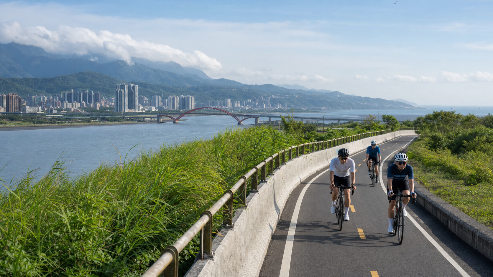
The Greater Taipei area’s bicycle path system is the most complete urban cycling network in Taiwan. With the four major rivers—Tamsui River, Keelung River, Xindian River, and Jingmei River—as its backbone, it connects the main bicycle paths within Taipei City and New Taipei City, totaling over 113 kilometers. From the Neihu and Nangang sections along the Keelung River, you can ride all the way to Guandu and Tamsui; the Jingmei River route extends to Muzha and the National Chengchi University area, making it suitable for both commuting and leisure.
In addition, the “Tamsui–Kavalan Historic Trail Bicycle-Friendly Corridor” planned by the New Taipei City Government connects rural road networks in the low mountainous areas of the north, linking New Taipei City, Keelung, and Yilan. It serves as an important corridor for cross-county cycling tours.
Central Taiwan Bicycle Path System
Taichung City’s bicycle paths are centered on the Dajia River and Dali River, extending from the urban area outward to Dakeng and Dongshi. Changhua County features the Changhua County Cycling Loop, which connects rural villages over approximately 50 kilometers, passing through Lukang Old Street, Xihu Sugar Factory, and the Erlin agricultural area—making it the most rural-flavored route in central Taiwan.
Nantou County’s bicycle paths are relatively scattered, but the “Jiji Bicycle Path” in Jiji Township is one of the most complete town-loop routes in Taiwan. Circling Jiji Township for about 15 kilometers, it offers views of the Zhuoshui River and passes through forest roads, fully enclosed within a rural environment.
Southern Taiwan Bicycle Path System
Kaohsiung City is the most proactive city in southern Taiwan when it comes to bicycle path construction. The Love River Bicycle Path, Shoushan Mountain Loop Trail (partially rideable), Cishan Old Street Bicycle Path, and the routes around Dagang Mountain connecting the city to the coast together form Kaohsiung’s multi-layered cycling network. Tainan City’s “Anping Canal Bicycle Path” runs along the historic canal, offering a distinctive route that blends historical culture with coastal landscapes.
Pingtung County’s “Fangliao Coastal Bicycle Path” is one of the most ocean-atmospheric routes in southern Taiwan. Following the fishing village seawalls along the west coast, riders can experience the simple, down-to-earth life of southern Taiwan’s fishing harbors.
Eastern Taiwan Bicycle Path System
Eastern Taiwan’s bicycle paths are centered on the Huadong Rift Valley. Hualien County’s Provincial Highway 193 Bicycle-Friendly Corridor, Taitung County’s Provincial Highway 197, and numerous agricultural roads connecting Hualien and Taitung together form Taiwan’s most expansive long-distance cycling routes.
The Beinan River Bicycle Path and Zhiben River Bicycle Path in Beinan Township, Taitung County, are the best-planned flatland bicycle paths in the east, suitable for family and leisure riding.
Strategies for Cross-County Connections
If you wish to undertake long-distance cycling across counties and cities, the following connection strategies can serve as references:
- Western Coastal Route Connection: Provincial Highway 1 often has parallel agricultural roads alongside it; you can plan your own coastal route from Hsinchu to Kaohsiung
- Eastern Rift Valley Connection: Provincial Highway 193 plus Provincial Highway 197 form a mature cross-county connecting corridor
- Huadong Coastal Connection: Provincial Highway 11 runs along the Huadong coast, offering a coastal cycling route between the Coastal Mountain Range and the Pacific Ocean
Practical Tips
- Use the Bikemap or Komoot app to look up detailed bicycle path routes in each county and city
- The tourism bureaus of each county and city offer downloadable bicycle maps on their websites
- On popular holiday sections where bicycle paths are shared with pedestrians, slow down to avoid conflicts with walkers
Conclusion
The achievements of Taiwan’s bicycle path system are truly impressive. Over two decades of investment have created a substantial network across the island. By understanding the features of each county and city’s routes and how they connect, you can design your own unique cycling itinerary in Taiwan. Whether it’s a one-day ride, a three-day tour, or a full island loop, there are abundant cycling resources waiting for you to explore.
Related Reading
- A Complete Overview of Taiwan’s Bicycle Path System: Connections Between the Western Main Line, Eastern Main Line, and Mountain Routes
- Taipei City Bicycle Path System: A Complete Urban Cycling Network Guide
- Taiwan’s Bicycle Path Construction: The Island-Wide Cycling Network Built by Government Investment
- Bike-Friendly City Development: A Comparison of Bicycle Paths in Taipei, Taichung, and Kaohsiung
高雄綠園道鐵路自行車道 / 外地人能輕鬆駕馭 還是整路崩潰? / 2025 全線開通 春節實地探索一次!(附GPS連結)/ 公路車 / CT Yeh
1 年前
半日 小台灣 極限單車路線挑戰實錄
7 年前
虎豹潭!日本老師來台一日約騎 台灣車友熱情招待私房路線 / CT Yeh
20 天前
日本自助單車旅,茨城絕景路線/ 新手也可以體驗 / 4K空拍絕景 / 機票省錢大法 / 單車友善旅館 / 國家級霞之浦180K自行車道 / feat. 緯緯 / CT Yeh
1 年前
日本島波海道 EP1 / 五大絕景路線之一! / 私房溫泉 x 豪華單車客棧 / 今治 to 大三島 / 公路車 / CT Yeh
2 年前
2023自行車展!與環台賽選手一同表演賽 / 全自動AI Fitting?/ TIME新車發表/神秘充電桌等 精華分享 VLOG | CT Yeh | 公路車
3 年前
單車 一日北高 ( 雙城 ) 肥宅雙人瘋狂行 紀錄片 REACTO
10 年前
太平山單車員工旅遊 | 這樣玩CP值最高!| 公路車
5 年前