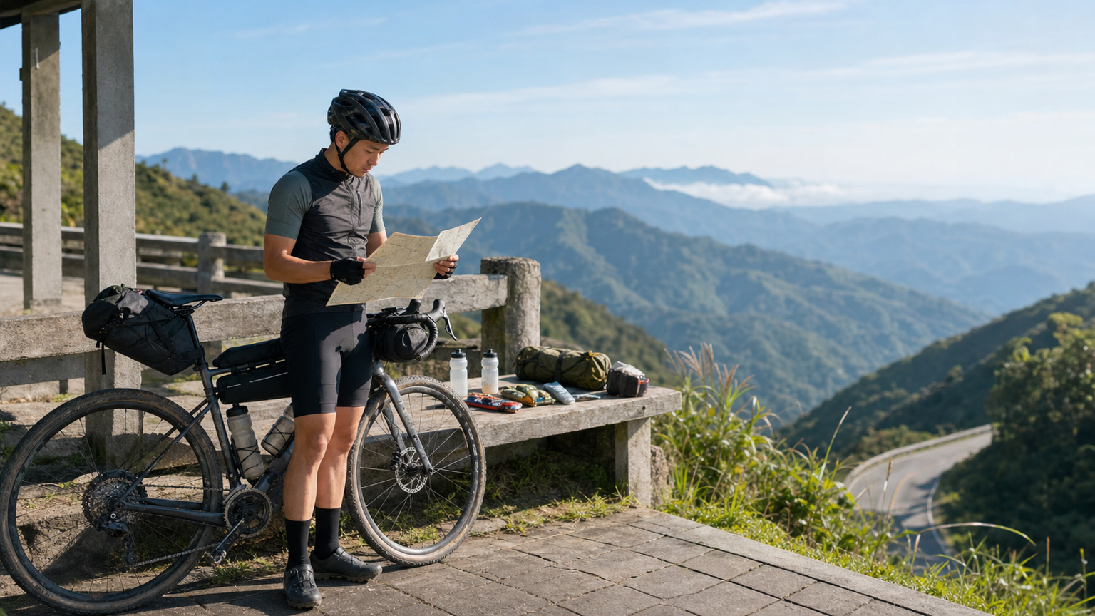
The Four Key Elements of Route Planning
Multi-day bikepacking route planning must consider four dimensions simultaneously: daily distance, elevation gain, resupply point density, and accommodation options. An imbalance in any one of these can derail the entire trip.
The Reasonable Range for Daily Distance
According to statistics from the international bikepacking community, reasonable distances for multi-day riding:
| Surface Type | Daily Distance | Elevation Gain Limit |
|---|---|---|
| Paved Road | 100-150 km | 1500m |
| Gravel (Gentle) | 80-120 km | 1500m |
| Gravel (Mountainous) | 50-80 km | 2000m |
| Singletrack | 30-50 km | 1500m |
Beginner Advice: Regardless of terrain, set a daily distance of 60-80 km for the first three days, then adjust based on how you feel from day four onward.
The Key to Resupply Point Density
Resupply points fall into three categories:
- Food Resupply: Convenience stores, supermarkets, restaurants
- Water Resupply: Shops, gas stations, public drinking water, mountain springs
- Emergency Resupply: Medical stations, bike shops, accommodation
The Golden Rule: At least one food or water resupply point every 30-40 km.
If the gap between resupply points exceeds 50 km, you must carry an extra 1.5-2 liters of water and corresponding food. If it exceeds 80 km, consider adjusting the route or stocking up more the night before.
Sample 5-Day Route Plan
Using a hypothetical “Loop Around the Central Mountain Range” route as an example:
Day 1: Taipei → Wulai → Fushan
- Distance: 72 km
- Elevation Gain: 1450m
- Resupply: Xindian convenience store (15K), Wulai Old Street (35K), Fushan Tribe (72K)
- Accommodation: Fushan Tribe homestay (NT$ 1200)
Day 2: Fushan → Baling
- Distance: 85 km
- Elevation Gain: 2100m
- Resupply: Sileng (30K), Baling 7-11 (85K)
- Accommodation: Baling Campground (NT$ 300)
- Key Point: No resupply between 30-85K, need to carry an extra 2L of water
Day 3: Baling → Wuling Farm
- Distance: 95 km
- Elevation Gain: 2350m
- Resupply: Mingchi (40K), Cilan (55K), Wuling Farm (95K)
- Accommodation: Wuling Farm Campground (NT$ 400)
Day 4: Wuling Farm → Lishan → Dayuling → Cuifeng
- Distance: 75 km
- Elevation Gain: 2600m
- Resupply: Lishan 7-11 (28K), Dayuling (55K, no 7-11)
- Accommodation: Cuifeng Mountain Lodge (NT$ 600)
- Key Point: The toughest day, allow 9-11 hours
Day 5: Cuifeng → Cingjing → Puli
- Distance: 110 km (mostly downhill)
- Elevation Gain: 800m
- Resupply: Cingjing 7-11 (25K), Wushe (45K), Puli (110K)
- Accommodation: Puli homestay
Recommended Planning Tools
- Komoot: The ultimate route planning tool, showing gravel surface percentages and road conditions for each segment
- Ride with GPS: Integrates resupply points and accommodation
- Google Maps + Street View: Verify road conditions on the ground
- Directorate General of Highways Real-Time Traffic Info: Typhoon and road closure information
Time Planning Details
Each day’s itinerary should include:
- Riding time (core): 6-8 hours
- Resupply breaks: 1-1.5 hours (lunch + two 30-minute rest stops)
- Buffer time: 1-2 hours (flat tires, getting lost, running out of energy)
- Camp setup/check-in: 1 hour (camp setup takes longer than check-in)
It is recommended to depart at 7:00-8:00 AM daily and arrive at the day’s endpoint by 16:00-17:00, leaving 2 hours for camp setup and cooking.
Contingency Plans for Failed Resupply Points
Convenience stores and restaurants in remote areas of Taiwan may be closed due to afternoon closures or staff taking leave. Contingency strategies:
- Call ahead to confirm same-day business hours before departure (especially for small shops that aren’t 7-11)
- At the end of each day, purchase dry provisions for the next day’s breakfast and lunch
- Carry 24 hours’ worth of dry provisions as an emergency reserve
The Impact of Elevation Changes
Taiwan’s mountainous areas have significant elevation changes. Above 2500m:
- Riding speed decreases by 20-30%
- Perceived temperature drops by 10-15°C
- Resupply points are extremely scarce
When planning, schedule high-elevation sections in the first half of each day to avoid descending after dusk.
Related Reading
- Bikepacking Food Plan: Multi-Day Calorie and Weight Balance
- Bikepacking Energy Management: Fatigue Management for Consecutive Multi-Day Rides
- The Logistics of Bicycle Touring: Complete Planning for Luggage, Resupply, and Accommodation
- Fueling Strategy for 4-Hour Long Rides: Keeping the Engine Running
單車 一日北高 ( 雙城 ) 肥宅雙人瘋狂行 紀錄片 REACTO
10 年前
一日北高前的高裝檢 | 北高 360 | 挑戰11小時的裝備 | 一日雙塔 | 補給
6 年前
半日 小台灣 極限單車路線挑戰實錄
7 年前
#公路車 #西進武嶺 配速配瓦實驗 坡度分析 四小時內攻略 建大盃 NeverStop #西進武嶺攻略
6 年前
#公路車 #Fitting 靠人工智慧APP 幫你調整單車
6 年前
一日北高/長距離團騎 常見問題補充篇 / 組團或跟團的眉角 / 壯車友容易被瘦車友慢性拉爆 / 原來屁股痛可能是這個原因...? / 風場配速法 / 公路車 / CT Yeh
2 年前
一日北高常見問題大集合 | 攻略 | 路線 | 訓練 | 補給 | 自行車 單車 | 一日雙城 | 雙塔 | TWB北高360 | 屁股痛
6 年前
靠單車減肥35公斤 心得分享與整理
7 年前