Introduction
The Dakeng area in Taichung, located on the eastern side of Beitun District, is famous nationwide for its hiking trail network, especially Trails 1 through 12, which attract a large number of hiking enthusiasts. However, for cyclists, Dakeng’s appeal goes far beyond that—the surrounding farm roads, agricultural lanes, and small county roads form a rich riding map, blending gentle paved sections with thrilling gravel stretches, making it one of the most worthwhile mountain routes near downtown Taichung.
Geographic Background of the Dakeng Route
Dakeng sits at the eastern foothills of the Taichung Basin, with elevation gradually rising from about 70 meters in the urban area to 400–600 meters at the trailheads, and reaching over 800 meters near the highest points. The terrain is predominantly hilly, crisscrossed by streams, with lush vegetation and pleasantly cool summers, earning it the reputation of being Taichung residents’ backyard.
Main Route Categories:
| Route Type | Representative Section | Surface | Difficulty | Suitable Bikes |
|---|---|---|---|---|
| Paved Route | Dongshan Road—Dakeng Road | Asphalt | ★★☆ | Road bike, mountain bike |
| Mixed Gravel | Farm roads around Trail 1 | Gravel, dirt | ★★★ | Mountain bike, cyclocross bike |
| Valley Route | Songzhu Road—Buzi Creek | Mixed | ★★☆ | Mountain bike |
| Challenging Climb | Xinguang Road to Touke Mountain | Asphalt | ★★★★ | Climbing specialist |
Core Route: Grand Loop Starting from Dongshan Road (Approx. 35 km)
This is the most popular paved main route among riders in Dakeng. Starting from the Dongshan Road intersection in downtown Taichung, it climbs eastward along Dongshan Road, and after entering the Dakeng Scenic Area, multiple branch routes are available.
Route Directions:
- Start: Near the intersection of Dongshan Road and the Sun Yat-sen Freeway (Beitun District, Taichung City)
- Ride east along Dongshan Road, continuing uphill after passing Qingcao Lake
- Arrive at the Dakeng Scenic Area Service Center to refill water and grab food
- Turn left onto the farm road beside the trail (unpaved section)
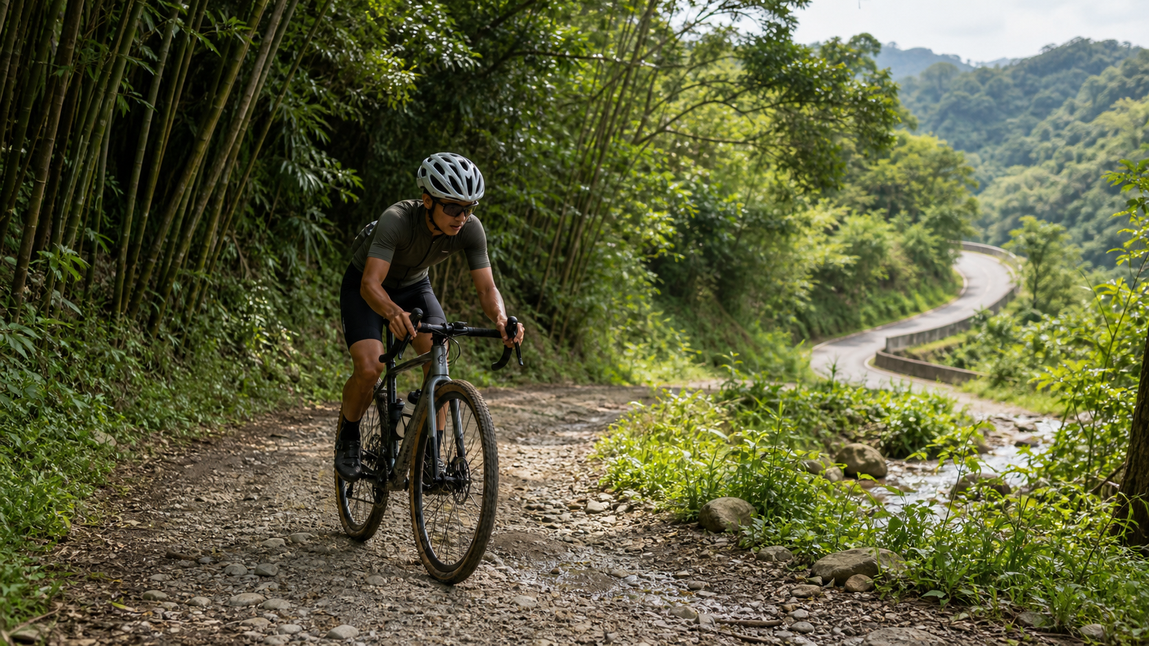
- Pass through a bamboo grove path and rejoin Dakeng Road
- Head south along the small road beside Buzi Creek to descend
- Return to Dongshan Road and ride back to the starting point
Gravel Section Precautions
The agricultural roads around Trail 1 consist of gravel and dirt, with some sections having standing water and loose rocks. Recommendations:
- Use a mountain bike or a gravel bike equipped with tires 35mm or wider
- Keep speed below 15 km/h on descents and shift your weight rearward
- Carry a spare tube (puncture risk is higher on gravel roads)
- Avoid dirt sections within 24 hours after rain
Touke Mountain Challenge Route (Advanced)
For riders with climbing training needs, consider attacking from Xinguang Road all the way to the summit of Touke Mountain. The total length is about 8 km, with approximately 500 meters of cumulative elevation gain, an average gradient of about 8%, and the steepest sections exceeding 15%.
Touke Mountain Route Highlights:
- Start: Xinguang Road (Beitun District, Taichung City)
- End: Touke Mountain triangulation point (elevation approx. 859 meters)
- Surface: Narrow asphalt road, with some sections covered by fallen leaves
- Best time: 6–9 AM, when traffic is light and temperatures are cooler
- Descent caution: The gradient is steep; check brake function before descending
Supply and Rest Points
- Dakeng Scenic Area Service Center: Water fountains, restrooms, and food stalls—a mid-ride hub for long rides
- Convenience stores along Dongshan Road: About one every 5 km, making resupply easy
- Dakeng Night Market (weekends): The perfect reward after finishing a route—must-try items include stinky tofu and pig’s blood cake
Seasonal Recommendations
The Dakeng mountain area is rideable year-round, but each season offers different characteristics:
- Spring (March–May): Tung blossoms are in full bloom, with white petals scattering across the road—a romantic sight
- Summer (June–August): More shade, but afternoon thunderstorms are frequent, so it’s best to head out early and return early
- Autumn (September–November): The most pleasant riding weather with clear visibility—a good time to take on Touke Mountain
- Winter (December–February): Occasional low temperatures and fog; watch for slippery road surfaces in mountain sections
Practical Tips
- The entrances to gravel sections are sometimes closed with chains, possibly due to construction or weather-related temporary restrictions; check Taichung cycling route communities before riding
- Dakeng draws large weekend crowds; consider riding on weekdays or early weekend mornings to avoid the rush
- Watch for agricultural vehicles when riding farm roads, and yield proactively on narrow sections
- Cell phone signal is weak in some mountain sections; let riding companions know your route
Conclusion
The Dakeng mountain area offers Taichung cyclists a precious gateway from the city straight into the wilderness. Whether it’s a gentle paved warm-up, the off-road thrill of gravel paths, or the climbing challenge of Touke Mountain, this mountain region caters to riders of all levels. Next weekend, seize the cool morning hours, ride into Dakeng’s forests, and experience the beauty of Taichung’s mountains.
Related Reading
- Taichung Dakeng Route Group: Cycling Climb Challenges from Trail 1 to Trail 10
- Riding in Taichung’s Dakeng Mountain Area: Beginner-Friendly Climbing Training Spots
- Taichung Dakeng Trail Area Routes: Cross-Training Routes for Hill Riding and Hiking
- Cycling Routes Along the Dakeng Hiking Trails in Taichung
台中大雪山 膏王領騎 震到都沒畫面了 公路車
5 年前
爬坡ITT實境)台中 魔王 松鼠坡 首航 6:12 大肚山 大三元 科福路
8 年前
太平山單車員工旅遊 | 這樣玩CP值最高!| 公路車
5 年前
藤枝二集團 單車行 Day1 | 南部小武嶺 | 爬坡爬到罵罵叫 | JJSC | 公路車 | CT Yeh
3 年前
高雄綠園道鐵路自行車道 / 外地人能輕鬆駕馭 還是整路崩潰? / 2025 全線開通 春節實地探索一次!(附GPS連結)/ 公路車 / CT Yeh
1 年前
大武山後門26%歡樂陡坡!JJSC南台灣單車行Day2 / 被颱風追著跑 / 公路車 / CT Yeh
2 年前
那瑪夏x茶山 阿里山系深山單車行 Day2 累積爬升6000M | 🥶超陡連續下坡 整路看隊友刷 | 爬升一座西進武嶺 | JJSC | 公路車 | CT Yeh
3 年前
梅山36彎 奮起湖 單車挑戰 下集 #公路車
6 年前