Taiwan Coastal Cycling: West Coast Flat Roads vs. East Coast Mountain-and-Sea Scenery Comparison
Introduction
Taiwan is split in two by the Central Mountain Range, creating two distinctly different coastal landscapes. The west coast is an overlap of alluvial plains and industrial zones; the east coast features sea cliffs and mountain walls carved by the Pacific Ocean. For round-island cyclists, this is not just a difference in scenery—it is a fundamental shift in the daily riding experience.
Overview Comparison
| Comparison Item | West Coast (mainly Provincial Highway 1) | East Coast (Provincial Highways 9/11) |
|---|---|---|
| Terrain Features | Flat, occasional rolling hills | Coastal sea cliffs, mountain climbs |
| Average Elevation | 0–50 m | 0–200 m (including Suhua Highway reaching 400 m) |
| Scenery Types | Farmland, fish farms, industrial zones, temples | Pacific Ocean, coastal cliffs, rural villages |
| Supply Density | Very high, every 3–5 km | Moderate, some sections 15–20 km without supplies |
| Traffic Volume | Higher | Relatively low |
| Riding Speed | Fast (average 25–30 km/h) | Slow (average 18–22 km/h) |
| Tourist Attractions | Few | Many |
West Coast: The Synonym for Efficiency
The biggest advantage of riding the west coast is “efficiency.” Provincial Highway 1 is almost entirely flat, and with Taiwan’s summer southwest monsoon, riders heading south to north can even enjoy a sustained tailwind. Many cyclists chasing the fastest times choose to open up their speed on the west coast, building buffer time into their itinerary.
Highlights of West Coast Riding:
- Rice field scenery from Changhua to Chiayi: The agricultural landscape near Ershui and Xizhou, with thin morning mist during early rides, has a serene quality reminiscent of rural roads in Japan
- Tainan’s temple culture: When Provincial Highway 1 passes through downtown Tainan, there is a temple almost every 500 meters, making it the densest corridor of Taiwan’s traditional religious culture
- Gaoping River Bridge: The section of Provincial Highway 1 crossing the Gaoping River offers wide-open views, with the Dawu Mountain range visible on clear days
- Lugang Old Street: Lugang in Changhua is the most worthwhile historic town to stop at along Provincial Highway 1, where you can temporarily leave the main road to explore
Challenges of the West Coast:
- More industrial zones and heavy truck traffic; watch out for gravel trucks and tractor-trailers
- Crosswinds along coastal sections can be very strong in certain areas (such as the Yunlin coast and Changhua’s Changbin Industrial Zone)
- The scenery is relatively monotonous, placing a greater mental burden on long-distance rides
East Coast: The Synonym for Awe
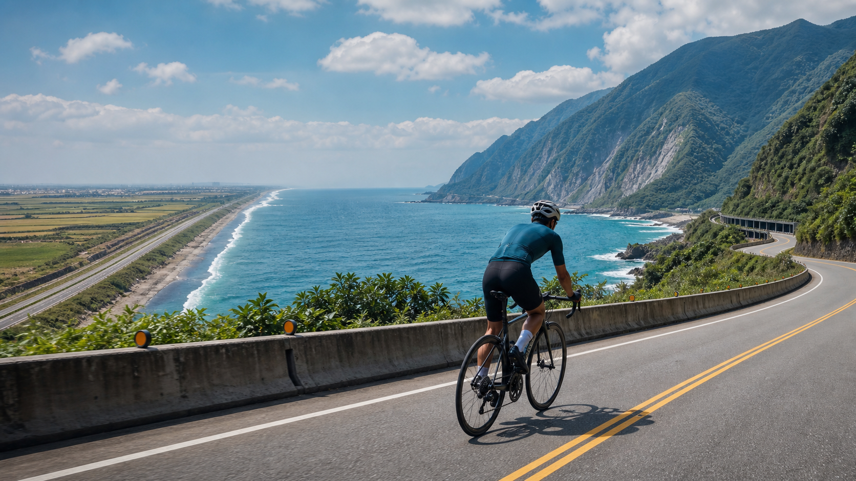
Riding the east coast is the most unforgettable memory for many round-island cyclists. After crossing the Suhua Highway from Nanao in Yilan, the vast blue curtain of the Pacific Ocean suddenly unfolds before your eyes—an impact that no photograph can truly replicate.
Highlights of East Coast Riding:
- The mountain-and-sea spectacle of the Suhua Highway: Steep cliffs plunge straight into the Pacific, and tunnel exits often reveal breathtaking ocean views, earning it the reputation as Taiwan’s most magnificent road cycling section
- Qixingtan’s gravel beach: Qixingtan on the outskirts of Hualien is an excellent spot to rest and take photos, with its azure waters and white gravel forming a uniquely beautiful scene
- Chishang’s Brown Boulevard in Taitung: Although it requires turning inland onto Provincial Highway 9, the cycling experience through golden rice fields is the most famous check-in route in eastern Taiwan
- Sanxiantai sunrise: If you arrange an early morning ride to Sanxiantai in Chenggong Township, Taitung, you can welcome the sunrise on the cross-sea arch bridge
- Duli Coast: The section of Provincial Highway 11 from Chenggong to Changbin features the most spectacular coastal cliff scenery
Challenges of the East Coast:
- The climbing intensity on the Suhua Highway and the South Link Road is the toughest of the entire island loop
- Mobile phone signal is poor on some sections, and Google Maps navigation may fail
- Supply points are sparse, so advance planning is essential
Seasonal Impact on Riding Both Coasts
- Summer (June–September): Southbound rides on the west coast enjoy tailwinds, but the heat is pronounced; the east coast is beautiful, but typhoon season requires caution
- Winter (November–March): The northeast monsoon causes strong crosswinds on the Suhua Highway, but the scenery of Hualien and Taitung is exceptionally clear on sunny winter days
- Spring/Autumn (March–May, October–November): The most comfortable seasons for an island loop, with excellent riding experiences on both coasts
Practical Tips
- For photos on the east coast, shoot before 10 AM or after 4 PM to avoid harsh midday light
- Some sections of Provincial Highway 11 have rockfall warning zones; pay attention to road condition signs while riding
- On the west coast, if you encounter strong crosswinds, keep your speed below 20 km/h and lower your center of gravity
- Both coasts have dedicated bicycle paths; use them preferentially and avoid riding on the main provincial highway lanes
Conclusion
The west coast is the choice of efficiency; the east coast is a journey for the soul. What makes the island loop so captivating is precisely the way these two vastly different experiences alternate within a single trip. When you finish the flat west coast and turn onto the east coast on the first morning, the contrast from monotony to awe will make you understand why Taiwan’s round-island ride is called “a journey you must ride once in your lifetime.”
Related Reading
- Taiwan Coastal Cycling Map: A Complete Route Guide from the North Coast to Hengchun
- The Complete Guide to Cycling Tourism in Taiwan: East Coast Route and Sun Moon Lake Loop
- Taiwan Round-Island Cycling Route Planning: A Strategic Analysis of Clockwise vs. Counterclockwise
- West Coast Flat Riding in Taiwan: The Rural Scenery of Changhua, Yunlin, and Chiayi
嘉義大埔、阿婆灣挑戰賽,美到以為在日本!ft. 環騎5 Cool 西拉雅188 / 公路車 / CT Yeh
7 個月前
虎豹潭!日本老師來台一日約騎 台灣車友熱情招待私房路線 / CT Yeh
20 天前
大武山後門26%歡樂陡坡!JJSC南台灣單車行Day2 / 被颱風追著跑 / 公路車 / CT Yeh
2 年前
太平山單車員工旅遊 | 這樣玩CP值最高!| 公路車
5 年前
山道猴出沒!? JJSC屏東單車行 Day1 一直催 / 皮卡丘來了!/ 墾丁 旭海 恆春 社頂 / 公路車 / CT Yeh
2 年前
大武山20%魔王陡坡【JJSC南台灣遊騎Day2】!屁股真的要裂開了...凡士林抹滿也沒用?神秘金教堂還有超便宜夜市
3 個月前
高雄綠園道鐵路自行車道 / 外地人能輕鬆駕馭 還是整路崩潰? / 2025 全線開通 春節實地探索一次!(附GPS連結)/ 公路車 / CT Yeh
1 年前
日本島波海道 EP1 / 五大絕景路線之一! / 私房溫泉 x 豪華單車客棧 / 今治 to 大三島 / 公路車 / CT Yeh
2 年前