文章導覽
- Route Overview
- Route Planning: Counterclockwise Direction
- Segment 1: Hengchun → Guanshan → Baisha Bay (20 km)
- Segment 2: Baisha Bay → Maobitou → Nanwan (15 km)
- Segment 3: Nanwan → Kenting Street → Eluanbi (15 km)
- Segment 4: Eluanbi → Longpan Park → Fengchuisha (15 km)
- Segment 5: Fengchuisha → Jialeshuei → Hengchun (15 km)
- Wind Strategy: Coping with the Downslope Wind Season
Kenting Peninsula Cycling Loop: Sunshine, Sea Breeze, and Leisurely Riding in Southern Taiwan
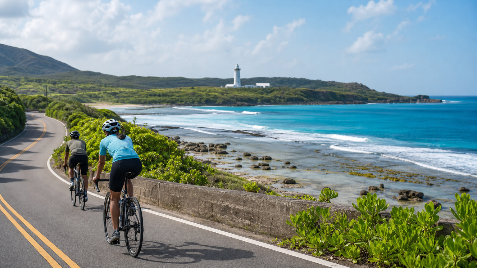
Kenting, Taiwan’s southernmost national park, boasts azure waters, white sandy beaches, and coral reef coastlines, making it an excellent choice for winter cycling to escape the cold. The loop around the Kenting Peninsula features varied terrain, from the downslope wind plains of the west coast to the coral reef terraces of the east coast, and finally to the lighthouse scenery at Eluanbi at the southernmost tip—each section offers a different landscape.
Route Overview
- Start/Finish: Hengchun Township (recommended as the start and finish point)
- Total Distance: Approximately 80 km (full loop)
- Total Elevation Gain: Approximately 600 m
- Difficulty: ★★☆☆☆
- Estimated Time: 4 to 6 hours (including rest and photo stops)
Route Planning: Counterclockwise Direction
Riding counterclockwise is recommended (Hengchun → West Coast → Eluanbi → East Coast → Hengchun) for two reasons: first, there is less backlight in the morning, which is better for photos; second, during the winter downslope wind season, you can ride with a tailwind in the first half and save the headwind section for the second half when you still have more energy.
Segment 1: Hengchun → Guanshan → Baisha Bay (20 km)
Terrain: Flat with slight undulations
Highlights: West coast sunset views
Depart from Hengchun Township and ride southwest along Provincial Highway 26. Shortly after passing Haikou, you’ll see the open waters of the Taiwan Strait. Guanshan is famous for its sunsets, but the tranquil fishing village scenery when passing through in the early morning is also worth a stop. Continue to Baisha Bay, which has the most beautiful white sandy beach in the Kenting area.
Supplies: Various shops available in Hengchun Township; small stores near Guanshan; vending machines at the Baisha Bay parking lot
Segment 2: Baisha Bay → Maobitou → Nanwan (15 km)
Terrain: Gentle ups and downs
Highlights: Coral reef terrain and bay scenery
Head south from Baisha Bay, passing through Houbihu Fishing Harbor (a good stop for a seafood breakfast) to reach Maobitou. Maobitou is an excellent spot for viewing the coral reef coastline, with its distinctive eroded table reef formations. After leaving Maobitou, continue south to Nanwan, the liveliest beach in Kenting, where water activities are popular in summer.
Supplies: Seafood restaurants at Houbihu Fishing Harbor (sashimi recommended); convenience stores and numerous dining options at Nanwan
Segment 3: Nanwan → Kenting Street → Eluanbi (15 km)
Terrain: Flat
Highlights: Taiwan’s southernmost landmark
Pass through Kenting Street and continue to the Eluanbi Lighthouse, the southernmost point of Taiwan’s main island. The lighthouse park is expansive, and the white lighthouse stands out strikingly against the blue sky. The coral reef trails within the park are worth getting off your bike to explore, but be sure to lock your bicycle securely.
Supplies: Abundant dining options on Kenting Street; vending machines at the Eluanbi park
Segment 4: Eluanbi → Longpan Park → Fengchuisha (15 km)
Terrain: More rolling, with one climb
Highlights: Vast grasslands of the east coast and Pacific Ocean views
This is the most spectacular section of the entire route. After passing Eluanbi, turn onto Provincial Highway 26 toward the east coast, where the terrain gradually rises. Longpan Park sits on a coral reef terrace, offering sweeping panoramic views of the Pacific Ocean from above. Fengchuisha features a unique wind-eroded sand dune landscape, where strong downslope winds blow sand particles from the land toward the sea.
Climb: There is an approximately 3 km climb from Eluanbi to Longpan with a gradient of about 5-7%, making it the toughest section of the entire route.
Supplies: Almost no supplies along this section; make sure your water bottles are full.
Segment 5: Fengchuisha → Jialeshuei → Hengchun (15 km)
Terrain: Descent followed by flat roads
Highlights: Pristine east coast scenery
After descending from Fengchuisha, you can choose to detour to the Jialeshuei Scenic Area to admire the unusual rock formations along the coast, or head directly north back to Hengchun along Provincial Highway 26. The final stretch returns to the Hengchun Plain, flanked by onion fields and pastureland, offering a rural landscape completely different from the coast.
Supplies: Small stores near Jialeshuei; full supplies once back in Hengchun Township
Wind Strategy: Coping with the Downslope Wind Season
The biggest cycling challenge on the Kenting Peninsula is not the gradient but the wind. During the downslope wind season from October to March each year, northeast monsoon winds cross the Central Mountain Range and accelerate down the Hengchun Peninsula as foehn winds, reaching speeds of 40 to 60 km/h.
Tips for Dealing with Downslope Winds
- Departure Time: Winds are weakest in the early morning; it is recommended to depart before 6:00 AM
- Riding Position: Lower your body in headwind sections and grip the drops to reduce wind resistance
- Gearing: Riding into a headwind is like climbing; don’t force a heavy gear
- Route Direction: Winter downslope winds mainly come from the north; riding counterclockwise allows you to benefit from crosswinds in the first half
- Safety: If gusts exceed Force 8, it is recommended to cancel the ride, as crosswinds can blow riders into oncoming traffic
Seasonal Riding Guide
| Season | Temperature | Wind Conditions | Recommendations |
|---|---|---|---|
| Spring (Mar-May) | 25-30°C | Winds gradually weakening | One of the best seasons |
| Summer (Jun-Aug) | 28-35°C | Light breeze | Pay attention to sun protection and hydration |
| Autumn (Sep-Nov) | 25-32°C | Downslope winds begin | Check wind forecasts |
| Winter (Dec-Feb) | 18-25°C | Strong downslope winds | Challenging; requires experience |
Accommodation Recommendations
Using Hengchun Township as a base is the most convenient option, with numerous budget hotels and guesthouses in town, close to the route’s starting point and with well-developed amenities. If you have a higher budget, there are also many resort hotels in the Kenting Street area.
Bicycle Rental
There are several bicycle rental shops in the Hengchun and Kenting areas offering road bikes, mountain bikes, and e-bikes. It is recommended to book in advance, as popular models tend to sell out on weekends and holidays.
Extended Route
Riders with plenty of energy may consider extending the route to Xuhai (eastern section of Provincial Highway 26). This section passes through Mudan Bay and is one of the last highways opened in Taiwan, with breathtaking pristine scenery along the way. The extended route totals approximately 120 km with elevation gain increasing to about 1,000 m.
The cycling experience on the Kenting Peninsula is completely different from other mountain routes in Taiwan. There are no breathless long climbs here; instead, you get boundless ocean views, warm sunshine, and a relaxed pace. Bring your bike and enjoy a leisurely ride in southern Taiwan.
Related Reading
- Kenting Peninsula Cycling Loop: A Riding Guide to Southern Taiwan’s Sunny Coast
- Kenting Peninsula Bike Route: Cycling the Coast Around Taiwan’s Southernmost Point
- Kenting Peninsula Loop: The Complete Guide to Southern Taiwan’s Wind and Coastline
- Pingtung Hengchun Peninsula Loop: A Coastal Cycling Route from Eluanbi Lighthouse to Kenting