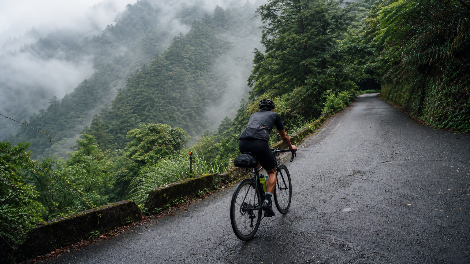
Taipingshan Road Challenge: A Hidden Climbing Route in Yilan’s Mountains
When it comes to cycling in Yilan, most people think of the vast fields of the Lanyang Plain or the coastal scenery of the North Coast. However, there is a nearly forgotten road-climbing paradise in Yilan’s mountains—starting from Yilan City, following Provincial Highway 7A and Yilan County Road 90 deep into Datong Township’s mountain area, climbing all the way to Taipingshan National Forest Recreation Area. The total distance is approximately 55 kilometers with an accumulated elevation gain of about 1,800 meters.
Route Basic Information
| Item | Data |
|---|---|
| Start Point | Yilan City (in front of Yilan Station) |
| End Point | Taipingshan National Forest Recreation Area entrance |
| Total Distance | Approximately 55 km |
| Accumulated Elevation Gain | Approximately 1,800 m |
| End Point Elevation | Approximately 1,950 m |
| Average Gradient | Approximately 3.3% (localized sections over 8% in the latter half) |
| Difficulty | Advanced |
| Large Vehicles | Rare (vehicle access controlled at Taipingshan) |
Why Is It Called “Hidden”?
There are several reasons why Taipingshan Road is considered hidden:
- Less famous than Wuling or Cingjing: In discussions of Taiwan’s climbing routes, Taipingshan is rarely mentioned
- Requires application or confirmation of entry eligibility: Some sections are controlled, and open status must be confirmed
- Extremely scarce resupply points: There are almost no resupply points along the entire route, testing riders’ self-sufficiency
- Special road conditions: Some sections are still forest-road quality, with more gravel and potholes
But it is precisely these characteristics that make Taipingshan Road a “secret climbing route” in the minds of many Taiwanese cyclists.
Climb Segment Analysis
Segment 1: Yilan City → Sanxing Township (0–20 km)
This section is flat to gently rolling, crossing the agricultural landscape of the Lanyang Plain, serving as a warm-up. Sanxing Township is famous for its scallions and Shangjiang pears, with pleasant farmland scenery along the way.
- Gradient: 0–2%
- Resupply: Convenience stores in Sanxing Township’s downtown area—the first and only reliable resupply point after departure
Segment 2: Sanxing → Tuchang (20–38 km)
After entering Datong Township, the gradient increases noticeably. Following the Dafeng River upstream, this section is known for its beautiful valley scenery, but the road is narrow—watch for oncoming traffic.
- Gradient: Average 4–6%
- Highlights: Dafeng River valley, Atayal tribal settlements
Segment 3: Tuchang → Taipingshan Entrance (38–55 km)
The most difficult section. Starting from Tuchang, the gradient holds at 7–10% with almost no flat respite. The road surface transitions to forest-road quality with coarser pavement.
- Gradient: 7–10%, with localized 12% sections
- Temperature: Approximately 10°C lower than Yilan City
- Highlights: Cloud forest belt, natural primary forest
Cueifeng Lake: The Wonder of Taiwan’s Highest Alpine Lake
Within Taipingshan National Forest Recreation Area lies Taiwan’s largest alpine lake—Cueifeng Lake—at an elevation of approximately 1,840 meters with a surface area of about 10 hectares. After reaching Taipingshan, if your energy allows, you can continue riding to Cueifeng Lake.
A lakeside trail surrounds Cueifeng Lake. During the autumn maple-viewing season, the entire hillside is covered in red, orange, and yellow maple leaves, with the reflection on the lake creating a breathtaking scene. This is one of Taiwan’s most beautiful alpine autumn displays.
Resupply Strategy (Very Important)
Resupply on the Taipingshan route is the most difficult among all mainstream climbing routes in Taiwan:
| Location | Resupply Status |
|---|---|
| Sanxing downtown (20 km) | Convenience store resupply—last chance |
| Hanxi (28 km) | Occasional weekend vendors, unreliable |
| Tuchang (38 km) | Occasional drink vending machine, stock not guaranteed |
| Taipingshan (55 km) | Visitor center restaurant, hot food available |
Recommended to carry:
- 2 large bottles of water (1000 ml × 2)
- 6–8 energy gels
- Solid food: rice balls, bananas, nuts
- 3–4 electrolyte packets
Seasonal Selection
| Month | Conditions |
|---|---|
| March–May | Spring fog, fresh air, suitable for riding |
| June–August | Hot but cool at the summit, afternoon thunderstorm risk |
| September–November | Best season, maple season (late October–November) is spectacular |
| December–February | Low temperatures, possible frost on the road, not recommended |
Train to Yilan and Transfer Recommendations
From Taipei, take the Puyuma/Taroko Express to Yilan Station, approximately 50–60 minutes. Bicycles can be transported (advance reservation required). Depart directly from Yilan upon arrival—no long road transfers needed.
Conclusion
Taipingshan Road doesn’t have Wuling’s fame, Cingjing’s crowds, or Alishan’s tourist infrastructure. What it has is a nearly forgotten mountain road, sparse traffic, the tranquility of the cloud forest belt, and a space for you to converse alone with the mountains with every pedal stroke.
If you’re looking for a climbing experience that isn’t on any leaderboard and is truly your own, Taipingshan Road deserves a place on your list.
Related Reading
- Taipingshan Cycling Challenge: A Forest Climb from Yilan to Taipingshan
- Yilan Jiaoxi Hot Spring to Taipingshan: The Complete Guide to a Climbing Route Starting from the Hot Spring
- Taipingshan Climbing Battle: 14.18 km, 973 m of Elevation Gain—How to Ride This “Taiwan’s Fuji Mountain Road” Without DNF
- Taipingshan Climbing Race: Strategies for Dealing with Forest Road Conditions and Weather Changes
太平山單車員工旅遊 | 這樣玩CP值最高!| 公路車
5 年前
台北闊瀨陡坡 騎旅 / 日本單車雜誌編輯車友臨時加入!/ 髮香才是最強的 / feat. 北迴歸線小隊 / 公路車 CT Yeh
6 個月前
#北橫 + #北進武嶺 最硬的員工旅遊 EP1 | #公路車 #拉拉山 | 明池 | 武嶺 | 武陵農場 | 雲海 | Taiwan Cycling Route Wulin
6 年前
爬坡ITT實境)台中 魔王 松鼠坡 首航 6:12 大肚山 大三元 科福路
8 年前
大武山20%魔王陡坡【JJSC南台灣遊騎Day2】!屁股真的要裂開了...凡士林抹滿也沒用?神秘金教堂還有超便宜夜市
3 個月前
大武山後門26%歡樂陡坡!JJSC南台灣單車行Day2 / 被颱風追著跑 / 公路車 / CT Yeh
2 年前
半日 小台灣 極限單車路線挑戰實錄
7 年前
梅山36彎 奮起湖 #公路車 之旅 2400m
6 年前