Taipei to Taichung Cycling Route: The Complete Inter-City Guide
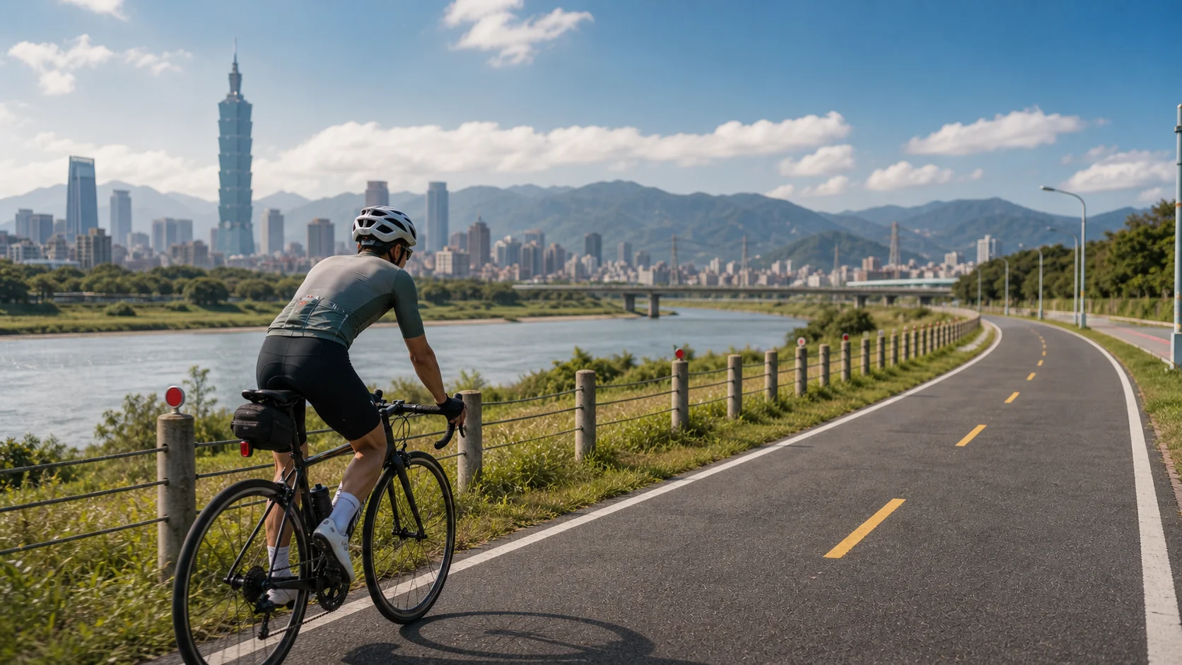
Taipei to Taichung is one of Taiwan’s most classic long-distance inter-city cycling routes, covering a total distance of about 170 to 180 km. The full route has continuous elevation changes, offering both a solid challenge and a rich variety of scenery. Many riders choose to complete it over two days, while stronger riders take on the challenge of finishing in a single day. This article provides a complete route plan, elevation information, supply points, and lodging recommendations to help you ride with confidence.
Route Overview
| Item | Information |
|---|---|
| Total distance | About 170–180 km (depending on route) |
| Cumulative elevation gain | About 1,200–2,500 m (depending on route) |
| Recommended days | 1–2 days |
| Difficulty | Moderate to hard |
| Best season | Autumn (Oct–Nov), Spring (Mar–Apr) |
Main Route Options
Route A: Flat West Coast Route (Recommended for Beginners)
This route follows Provincial Highway 61 (the West Coast Expressway) and Provincial Highway 1, offering the shortest distance and least elevation gain.
Route description: Taipei → Xinzhuang → Taoyuan → Zhongli → Hsinchu → Zhunan → Miaoli → Taichung
- Distance: about 170 km
- Cumulative elevation gain: about 1,200 m
- Highlights: coastal scenery, windy conditions, mostly flat roads
- Note: some sections carry heavy traffic, so ride with caution
Main climbing sections:
- Zhunan to Miaoli: rolling hills, about 300 m of elevation gain
- Miaoli to Fengyuan: several short climbs, about 400 m of elevation gain
Route B: Mountain-Line Challenge Route (Advanced Riders)
This route takes Provincial Highway 3, the inland mountain highway, passing scenic spots such as Sanyi’s Shengxing Station and Taian Hot Springs, with rich natural scenery.
Route description: Taipei → Sanxia → Daxi → Yangmei → Guanxi → Zhudong → Sanyi → Taichung
- Distance: about 185 km
- Cumulative elevation gain: about 2,500 m
- Highlights: mountain and forest scenery, lighter traffic, many climbs
- Suitable for: riders in good physical condition who enjoy climbing
Route C: Mixed Route (Balanced Choice)
This route combines the strengths of the first two, taking the mountain line from Taipei to Hsinchu before turning toward the coast, balancing scenery with difficulty.
- Distance: about 175 km
- Cumulative elevation gain: about 1,800 m
- Suitable for: riders with some base fitness who want both scenery and challenge
Two-Day Itinerary Plan (Using Route A as an Example)
Day 1: Taipei → Hsinchu (about 90 km)
Recommended departure time: 6:00 AM
| Location | Distance (cumulative) | Notes |
|---|---|---|
| Taipei (start) | 0 km | Recommended to start from the Tamsui River bike path |
| Xinzhuang | 15 km | Convenience store for supplies |
| Dayuan, Taoyuan | 45 km | Recommended lunch stop |
| Zhongli | 65 km | Rest and hydration |
| Hsinchu (lodging) | 90 km | Many affordable lodging options available |
Recommended lodging in Hsinchu:
- Business hotels in downtown Hsinchu (NT$1,200–2,000)
- Hsinchu youth hostels (bed from about NT$500)
Day 2: Hsinchu → Taichung (about 85 km)
Recommended departure time: 6:30 AM
| Location | Distance (cumulative) | Notes |
|---|---|---|
| Hsinchu (depart) | 0 km | Have breakfast before setting off |
| Zhunan | 20 km | Miaoli County border |
| Downtown Miaoli | 40 km | Recommended lunch stop |
| Sanyi | 55 km | Wood-carving town, worth a short break |
| Fengyuan | 75 km | Last supply stop |
| Taichung (finish) | 85 km | Arrival! |
Key Supply Points
Supply points are plentiful along the entire route. The main ones are:
- Tamsui, Taipei: Last supply stop before departure
- Dayuan supermarket, Taoyuan: Top choice for a mid-route lunch
- Around Hsinchu City God Temple: Famous food cluster, great for refueling with calories
- Downtown Miaoli: Many convenience stores and eateries
- Sanyi service area (Highway 61): Bike-friendly parking area
- Fengyuan Miaodong Night Market: Last supply stop before reaching Taichung
Challenging Climb and Descent Sections
Miaoli Toufen to Sanyi (Route A)
This is the most challenging section of the west coast route, with continuous rolling hill terrain:
- About 15 km long
- Maximum gradient around 8%
- Maintain a steady heart rate and avoid overexerting yourself on this section
Sanyi to Fengyuan Descent
- A descent of about 8 km
- Watch your speed carefully, as the road has many curves
- Protective gear is recommended
Riding Safety Tips
- Helmet and protective gear: Required for the entire route; knee pads are recommended on the mountain-line section
- Front and rear lights: Must be turned on for early-morning departures, especially important in tunnel sections on the mountain line
- Hydration strategy: Drink 500–750 ml of water per hour, more in hot weather
- Sun protection: The west coast route has little shade, so apply high-SPF sunscreen in summer
- Spare parts: Bring two spare inner tubes, tire patches, and a CO₂ inflator
- Power bank: Make sure your phone and GPS device have enough battery
Seasonal Riding Considerations
| Season | Advantages | Notes |
|---|---|---|
| Spring (Mar–Apr) | Comfortable temperatures, pleasant scenery | Occasional spring rain, bring rain gear |
| Summer (Jun–Aug) | Long daylight hours, early starts possible | High heat, watch for heatstroke |
| Autumn (Oct–Nov) | Best season, cool and clear | Northeast monsoon may cause headwinds |
| Winter (Dec–Feb) | Fewer people, quieter roads | Low temperatures and strong northeast winds, not recommended for beginners |
Tips for Completing the Route in a Single Day
For riders aiming to complete the route (about 170 km) in a single day:
- Departure time: 4:00–5:00 AM
- Target finish time: Before 4:00 PM (within 12 hours)
- Fitness requirements: Weekly riding volume of over 200 km is recommended, along with long-distance riding experience
- Supply strategy: Set up a supply stop every 40–50 km, keeping each stop under 10 minutes
Conclusion
The Taipei to Taichung route is on many Taiwanese cyclists’ “bucket list.” Whether you choose the easy west coast flat route or take on the mountain-line challenge, this journey will be an unforgettable experience. Plan ahead, choose a route suited to your fitness level, and stay safety-conscious along the way, and you’ll be able to complete this inter-city cycling adventure with confidence.
Related Reading
爬坡ITT實境)台中 魔王 松鼠坡 首航 6:12 大肚山 大三元 科福路
8 年前
半日 小台灣 極限單車路線挑戰實錄
7 年前
台中大雪山 膏王領騎 震到都沒畫面了 公路車
5 年前
高雄綠園道鐵路自行車道 / 外地人能輕鬆駕馭 還是整路崩潰? / 2025 全線開通 春節實地探索一次!(附GPS連結)/ 公路車 / CT Yeh
1 年前
太平山單車員工旅遊 | 這樣玩CP值最高!| 公路車
5 年前
浪漫 #臺三線 #單車 員工旅遊 桃園到台中 老少咸宜 環台賽 路線探索
6 年前
單車 一日北高 ( 雙城 ) 肥宅雙人瘋狂行 紀錄片 REACTO
10 年前
藤枝二集團 單車行 Day1 | 南部小武嶺 | 爬坡爬到罵罵叫 | JJSC | 公路車 | CT Yeh
3 年前