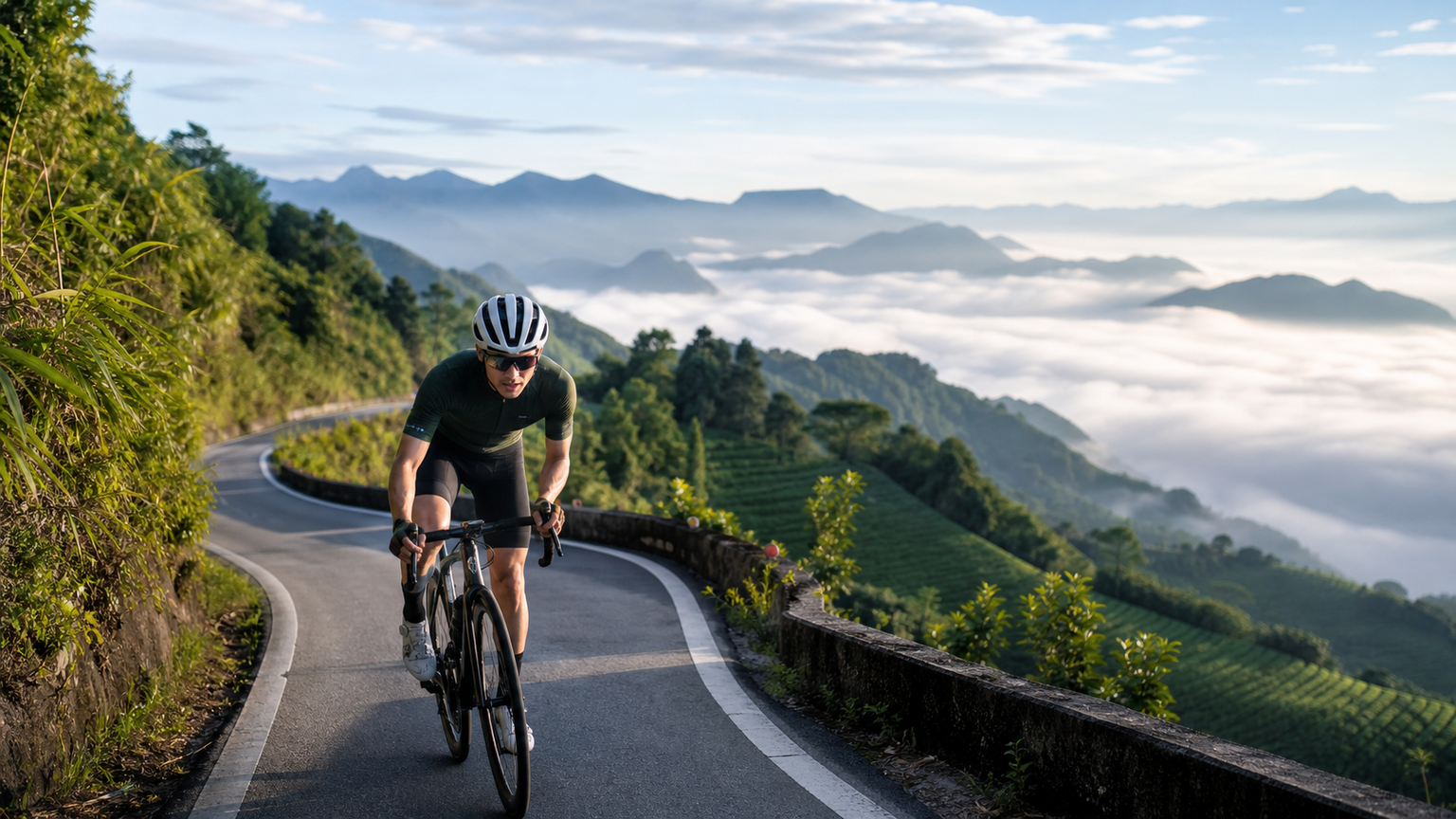
Alishan Highway Cycling Challenge: An Epic Climb from the Chiayi Plains to the Clouds
Provincial Highway 18, the Alishan Highway, starts in Chiayi City and ends at the Alishan Forest Recreation Area, spanning approximately 75 kilometers with a total elevation gain of over 2,200 meters. This route demands sustained climbing over a long period, posing a severe test of both physical endurance and mental fortitude. Yet, thanks to the vegetation transitioning from subtropical broadleaf forests to temperate coniferous forests along the way, and the magnificent vistas of rolling seas of clouds, it has become a must-ride route for many cycling enthusiasts.
Route Basic Information
- Start Point: Chiayi City (Provincial Highway 18, 0K, elevation approx. 30 meters)
- End Point: Alishan Forest Recreation Area (Provincial Highway 18, 75K, elevation approx. 2,200 meters)
- Total Distance: Approx. 75 kilometers
- Total Elevation Gain: Approx. 2,200 meters
- Average Gradient: Approx. 3.5% (but varies greatly by section)
- Difficulty: ★★★★☆
- Estimated Time: 6 to 10 hours (one-way uphill)
Detailed Section Analysis
Section 1: Chiayi City → Chukou (0K - 32K)
Distance: 32 kilometers
Elevation Gain: Approx. 250 meters
Characteristics: Gentle slope warm-up section
This section is almost entirely flat to gently rolling uphill, passing through Chiayi City and Zhongpu Township. The road surface is smooth, but traffic volume is heavy, especially with holiday tourist traffic. Chukou serves as the gateway to the mountain area, featuring a visitor center and several restaurants, making it the last full resupply point.
Resupply Points: Convenience stores in Zhongpu urban area, Chukou Visitor Center, various restaurants in Chukou
Advice: Be sure to fill your water bottles and stock up on portable food at Chukou. Resupply points are scarce along the more than forty kilometers of mountain roads ahead.
Section 2: Chukou → Shizhao (32K - 55K)
Distance: 23 kilometers
Elevation Gain: Approx. 1,000 meters
Average Gradient: Approx. 4.5%
Characteristics: The real climbing begins
After passing Chukou, you officially enter the mountain area, and the gradient increases noticeably. This is one of the toughest sections of the entire route, with continuous uphill stretches and some parts reaching gradients of 7% to 8%, requiring a steady pace. The route passes through settlements such as Longmei and Xiding. Xiding (elevation approx. 1,250 meters) is a renowned tea-growing area and an excellent spot for viewing the sea of clouds.
Resupply Points: Scattered shops in Longmei, occasional vending machines in the Xiding tea plantation area, several small eateries and homestays in Shizhao
Cautions: Fog and clouds frequently roll in during the afternoon on this section, and visibility can drop sharply. Be sure to turn on both front and rear lights in tunnel sections.
Section 3: Shizhao → Alishan Forest Recreation Area (55K - 75K)
Distance: 20 kilometers
Elevation Gain: Approx. 950 meters
Average Gradient: Approx. 5%
Characteristics: The final push
Beyond Shizhao, the elevation exceeds 1,500 meters, the air grows thinner, and the perceived temperature drops noticeably. The gradient on this section is slightly steeper than the previous one, and with energy already depleted after riding fifty or sixty kilometers, this is the section that demands the most mental toughness. Along the way, you can see the Alishan Forest Railway tracks crossing the highway, and giant red cypress and Taiwan false cypress trees replace the broadleaf forests of lower elevations.
Resupply Points: Small shops near Shizilu Station, shops and restaurants at the entrance to the Alishan Recreation Area
Pacing Strategy
The most common cause of failure on the Alishan Highway is starting too fast in the early sections and blowing up later. The recommended pacing strategy is as follows:
- Before Chukou (0-32K): Keep your speed at 80% of your flat-road cruising speed to conserve energy
- Chukou to Xiding (32-45K): Find a sustainable climbing rhythm, keeping your heart rate in the aerobic zone (70-80% of maximum heart rate)
- Xiding to Shizhao (45-55K): Maintain a steady output, don’t force acceleration. Use the occasional short descents to recover fully
- Shizhao to the Finish (55-75K): Accept that your speed will drop, and focus on every single pedal stroke. It’s perfectly fine to get off and walk from time to time
Gear Ratio Recommendations
For a long-distance climbing route, gear ratio selection is crucial:
- Chainrings: A compact crankset (50/34T) or a smaller 48/32T is recommended
- Rear Cassette: At least 28T, with a wide-range cassette of 30T or 32T recommended
- Cadence: Maintain 70-80 RPM to avoid putting excessive strain on your knees from grinding a heavy gear
Climate and Best Riding Seasons
Spring (March-May)
Temperatures are comfortable, around 10-18 degrees in the mountains. The cherry blossom season (March) and firefly season (April-May) attract more visitors, and holiday traffic is heavy.
Summer (June-August)
The plains are scorching hot, but the mountains are cool. The chance of afternoon thunderstorms is high, so it’s recommended to set off at dawn and reach the summit before noon.
Autumn (September-November)
The weather is most stable with less rainfall, making this the most recommended riding season. The mountain weather is crisp and cool, and the autumn foliage scenery is stunning.
Winter (December-February)
Temperatures at the summit can drop below 0 degrees, so full cold-weather gear is essential. When a cold front hits, the road surface may frost over, and riding is not recommended.
Equipment Checklist
- [ ] Windbreaker or lightweight insulated jacket (temperature difference at the summit can reach 15-20 degrees)
- [ ] At least two water bottles (recommend one filled with sports drink)
- [ ] 4-6 energy gels, 2-3 energy bars
- [ ] Front and rear lights (essential for tunnels)
- [ ] Spare tube, pump, multi-tool kit
- [ ] Portable power bank for your phone
- [ ] Sunscreen and arm sleeves
- [ ] Basic first-aid kit
Accommodation and Transportation Options
If you don’t plan to ride back down to Chiayi the same way, consider the following options:
- Stay overnight in Alishan: There are numerous hotels and homestays on the mountain. Watch the sunrise the next morning, then ride back down
- Take the bus down: There are buses from Alishan to Chiayi, but you’ll need to confirm in advance whether bikes can be carried
- Arrange a pickup: Ask a friend to drive up the mountain to pick you up; this is the most convenient option
Riding Reflections
The charm of the Alishan Highway lies not in speed, but in the journey from the plains to the clouds. When you stand at Chukou and gaze at the endless mountain ranges ahead, the finish line seems impossibly far away. But as you pedal upward step by step, watching the vegetation shift from betel nut palms to bamboo groves and then to coniferous forests, and the air transform from muggy to crisp and cool, finally standing amidst the sea of clouds above two thousand meters, the sense of accomplishment is unmatched by any other route.
Remember to slow down and enjoy the process. The Alishan Highway is not a race; it’s a journey of dialogue with yourself.
Related Reading
- Alishan Highway Cycling Challenge: Climbing Guide from Chiayi to Alishan
- Chiayi Alishan Highway (Provincial Highway 18): The Climbing Challenge from the Plains to the Clouds
- Alishan Highway Cycling Challenge: A Magnificent Climbing Journey from Chiayi to Alishan
- Alishan Highway (Provincial Highway 18) Riding Guide: The Pilgrimage Road from Chiayi to Alishan
半日 小台灣 極限單車路線挑戰實錄
7 年前
阿里山塔塔加 兩倍特濃版!全新隧道開通! 進喔!公路車 | CT Yeh
3 年前
里佳部落 阿里山單車深度旅遊! | 竹山/草嶺/來吉/奮起湖 | 無敵銀河絕景 全新路線探索! 驚險狀況百出! | 4K沉浸式畫質 | 公路車 | CT Yeh
3 年前
梅山36彎 奮起湖 單車挑戰 下集 #公路車
6 年前
4K單車實境) 嘉義 梅山36灣 訓練台 爬坡 輕鬆騎
6 年前
一定要騎一次!阿里山最深處:里佳部落!單車旅行 | 2800m爬升 | 深度部落體驗:嗨翻晚會、螢火蟲、銀河 | feat. JJSC & 廢物伙伴 | 公路車 CT Yeh
9 個月前
那瑪夏x茶山 阿里山系深山單車行 Day2 累積爬升6000M | 🥶超陡連續下坡 整路看隊友刷 | 爬升一座西進武嶺 | JJSC | 公路車 | CT Yeh
3 年前
嘉義單車路線推薦:碧湖山茶園超陡坡挑戰!里佳部落-奮起湖-瑞峰 (附路線)
7 個月前