Recommended Trail Running Training Spots in Taiwan: Suitable Routes Across North, Central, and South
Introduction
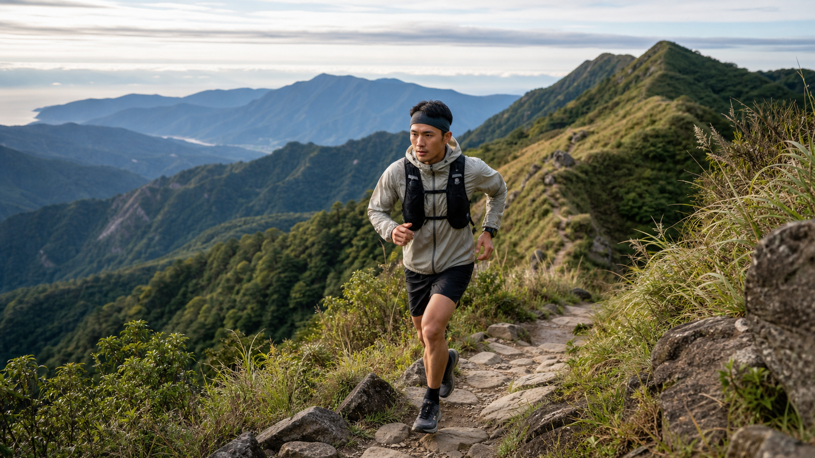
Although Taiwan is small in area, it boasts over 200 peaks above 3,000 meters, and its trail density ranks among the highest in Asia. For trail runners, this is an exceptional training environment—no matter which county or city you live in, you can usually find suitable training trails within an hour’s drive. This article organizes recommended routes by the northern, central, and southern regions, marking difficulty and features to help you plan your daily trail training.
Northern Route Recommendations
The Greater Taipei area has the most concentrated trail running resources in Taiwan, with Yangmingshan National Park and the northern foothill trail systems offering runners a diverse range of options.
| Route Name | Difficulty | Distance | Elevation Gain | Features |
|---|---|---|---|---|
| Yangmingshan Erziping | ★☆☆ | 4 km | 150m | Paved trail, suitable for beginners |
| Qixing Mountain Main Peak | ★★☆ | 6 km | 520m | Taipei’s highest point, panoramic views |
| Qingtiangang to Lengshuikeng | ★★☆ | 8 km | 300m | Grassland terrain, open and refreshing |
| Cuicui Valley to Huangzui Mountain | ★★★ | 12 km | 700m | Primitive route, highly technical |
| Wuliaojian | ★★★ | 5 km | 500m | Rock climbing, requires hands and feet |
Recommended training route on Yangmingshan: Starting from Lengshuikeng, follow the loop route around Qixing Mountain Main Peak to gain approximately 500 meters of vertical ascent, completing a quality trail training session within 8–10 kilometers.
Other notable locations in the north:
- Sanxia Xiongkong Mountain: Continuous climbing sections, ideal for uphill-specific training
- Taoyuan Lala Mountain Sacred Trees Area: Primitive forest trail, leaf-litter surface cushions impact
- Yilan Matcha Mountain (Shengmu Hiking Trail): Steep grassy slopes, excellent for climbing training
Central Route Recommendations
The central mountain region, centered around Taichung’s Dakeng trail group and Nantou’s Ren’ai Township, offers substantial elevation gain and diverse terrain, suitable for intermediate to advanced trail runners.
| Route Name | Difficulty | Distance | Elevation Gain | Features |
|---|---|---|---|---|
| Dakeng Trail No. 5 | ★★☆ | 3.5 km | 430m | Taiwan’s gateway to trail running |
| Dakeng Trail No. 10 | ★★★ | 4.5 km | 650m | Continuous steep slopes, high training intensity |
| Daxueshan Forest Road | ★★☆ | Varies | Varies | Paved forest road, suitable for long distances |
| Hehuan Mountain Main Peak | ★★★ | 8 km | 380m | High altitude (3416m), altitude acclimatization |
Taichung Dakeng is the most important training base for central Taiwan trail runners. The Dakeng trail group consists of ten numbered trails, with difficulty increasing from No. 1 (gentle) to No. 10 (extremely steep). Runners can choose the corresponding route based on the day’s training goals. Combining Trails No. 5 and No. 10 is the “Dakeng Double Loop” training method commonly used by local runners, with a total elevation gain exceeding 1,000 meters.
Southern Route Recommendations
The southern mountain region is primarily composed of foothills in Kaohsiung and Tainan, plus primitive trails in Pingtung and Taitung. The climate is hot, but the scenery is magnificent.
| Route Name | Difficulty | Distance | Elevation Gain | Features |
|---|---|---|---|---|
| Kaohsiung Chaishan Nature Park | ★☆☆ | Varies | 200m | Limestone terrain, accompanied by monkeys |
| Kaohsiung Taoyuan Baoshan | ★★☆ | 8 km | 600m | Bunun tribal culture |
| Tainan Guanziling Dadong Mountain | ★★☆ | 6 km | 500m | Most challenging foothill in the west |
| Pingtung North Dawu Mountain | ★★★★ | 24 km | 2200m | Southern Taiwan’s highest peak, permit required |
Southern runners need to pay special attention to temperature management: depart before 6 AM in summer to avoid exposure on the trails. Kaohsiung Chaishan is the most convenient daily training base for southern runners; its limestone terrain is excellent for ankle stability training.
General Recommendations for All of Taiwan
- Beginners should prioritize: Popular routes have more people and clearer signage, making it easier to get help if problems arise
- Be cautious after rain: Taiwan’s trails become muddy and rocks slippery after rain; it is recommended to wait 24–48 hours before training
- Check the latest trail conditions: Mountain supply stations in each county/city and the Taiwan Mountain Forest Recreation website provide real-time trail information
- Prepare backup routes: Trails may be closed due to weather or maintenance; confirm alternatives before heading out
Practical Tips
- Join local trail running communities (the Facebook group “Taiwan Trail Runners” has abundant information)
- Use Strava’s route exploration feature to search for popular trails in your city
- Download the Walking Taiwan App offline maps as a backup
- Record vertical gain after each training session as a progress indicator
Conclusion
Taiwan’s trails are the best gym for trail runners—and completely free. From Qixing Mountain beside the Taipei Basin to North Dawu Mountain in southern Taiwan, every route has its own unique terrain language waiting for you to read. Choose a route that matches your current ability and head out this weekend.
Related Reading
- Recommended Trail Running Routes in Taiwan’s Mountains: Around Taipingshan, Xueshan, and Yushan
- Taiwan Road Race Map: Representative Marathons Across the North, South, East, and Central Regions
- Taiwan Road Cycling Climbing Training Map: Best Training Climbs from North to South
- Beginner’s Guide to Trail Running in Taiwan
太平山單車員工旅遊 | 這樣玩CP值最高!| 公路車
5 年前
台灣登山王之路 KOM 全程參賽4K臨空錄影 PART1 穿越峽谷地形! #東進武嶺 太魯閣 / 燕子口 / 天祥 / 西寶 PART1 (公路車 / CT Yeh)
3 年前
半日 小台灣 極限單車路線挑戰實錄
7 年前
爬坡ITT實境)台中 魔王 松鼠坡 首航 6:12 大肚山 大三元 科福路
8 年前
藤枝二集團 單車行 Day1 | 南部小武嶺 | 爬坡爬到罵罵叫 | JJSC | 公路車 | CT Yeh
3 年前
一定要騎一次!阿里山最深處:里佳部落!單車旅行 | 2800m爬升 | 深度部落體驗:嗨翻晚會、螢火蟲、銀河 | feat. JJSC & 廢物伙伴 | 公路車 CT Yeh
9 個月前
台北闊瀨陡坡 騎旅 / 日本單車雜誌編輯車友臨時加入!/ 髮香才是最強的 / feat. 北迴歸線小隊 / 公路車 CT Yeh
6 個月前
4K單車實境) 嘉義 梅山36灣 訓練台 爬坡 輕鬆騎
6 年前