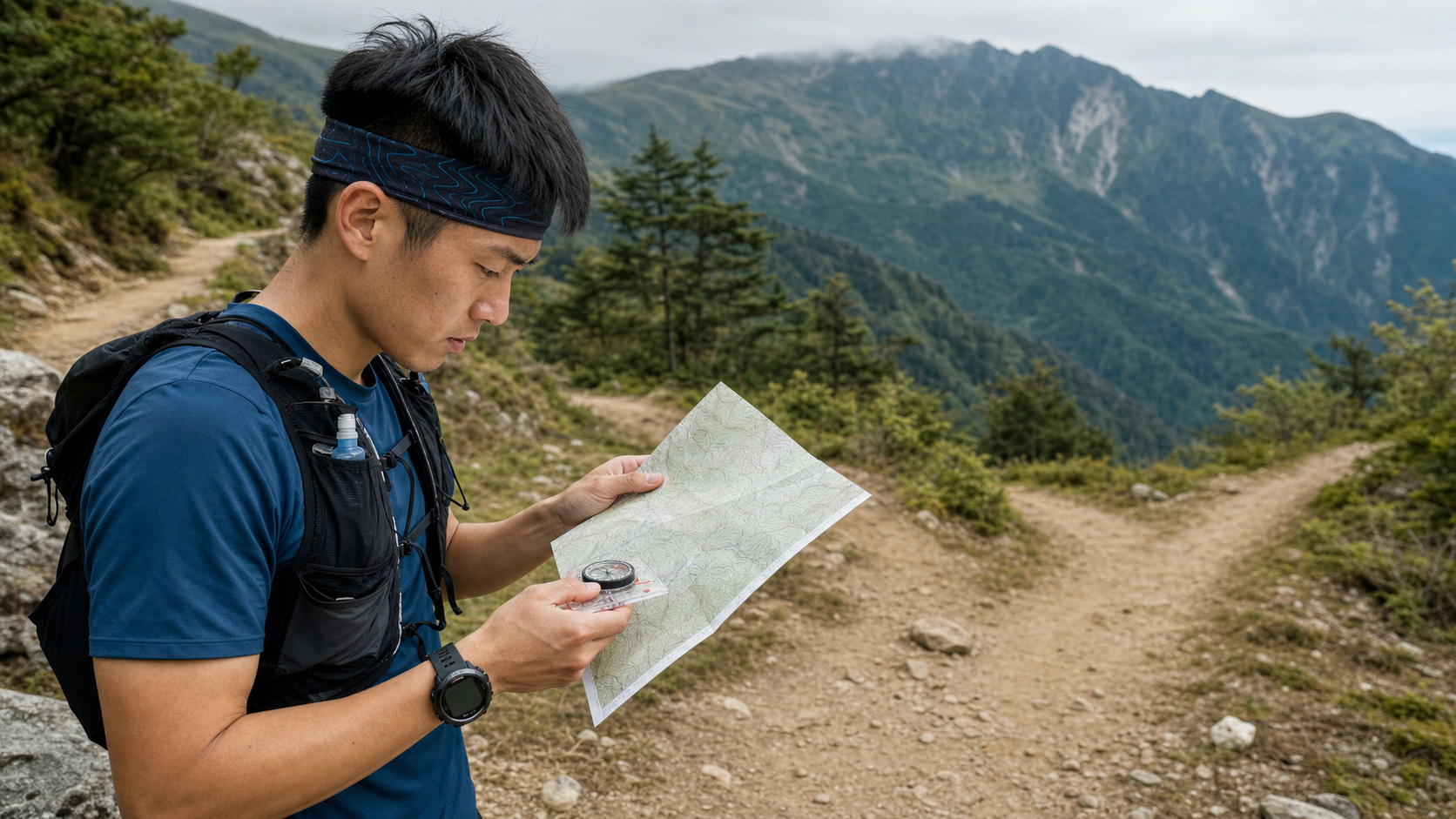
Introduction
“GPS died, phone battery ran out, trail markers disappeared”—these three things have all actually happened on Taiwan’s mountain trails. A trail runner’s navigation skills are not just for finding the route during a race, but are survival techniques for emergencies. As trail running routes become increasingly remote, navigation ability has been upgraded from an “advanced skill” to essential equipment for every trail runner.
The Three-Layer Backup Architecture of Navigation Tools
A well-designed trail navigation system uses three layers of backup, with each layer playing a role in different situations:
| Layer | Tool | Advantages | Limitations |
|---|---|---|---|
| First Layer | GPS sports watch or phone app | Real-time location, track recording | Battery and signal limitations |
| Second Layer | Offline maps (phone) | Usable without signal | Battery limitations |
| Third Layer | Paper topographic map + compass | Completely independent of power | Requires learning to use |
Professional trail runners do not rely on a single tool; instead, they integrate all three layers into one navigation system, allowing them to find their way safely even when electronic devices fail.
Best Practices for Using GPS Tools
The most commonly used navigation tools in modern trail running are GPS watches (Garmin, Suunto, Coros) paired with phone map apps (Gaia GPS, Komoot, OSMAnd).
Pre-race preparation:
- Download offline maps to your device (to avoid issues in no-signal areas)
- Load the route into your watch or phone as a breadcrumb trail
- Confirm your device has sufficient battery (carry a power bank for long distances)
- Take screenshots of the route as a backup in case the app malfunctions
Navigation habits during the run:
- Check your current position and deviation from the planned route every 10–15 minutes
- Stop at junctions to confirm your direction; don’t judge while running
- Note “return points” (such as parking lots or major junctions) for emergency returns
The Basics of Reading Topographic Maps
Even if you primarily use GPS, understanding topographic maps is fundamental to understanding the terrain.
Reading contour lines:
- The denser the contour lines, the steeper the slope
- Contour lines forming a “V” shape pointing downhill indicate a ridge
- Contour lines forming a “V” shape pointing uphill indicate a valley/gully
- Closed circular contour lines indicate a summit at the innermost ring
Identifying terrain features:
- Ridgelines: the crest lines connecting high points, serving as important directional references
- Valleys: water flows downhill, so valleys can serve as navigation reference lines
- Cols (saddles): low points between two mountains, often where trails cross over a ridge
Topographic map resources applicable to Taiwan:
- The National Land Surveying and Mapping Center (NLSC) of the Ministry of the Interior provides free 1/5000 topographic maps
- The Taiwan 100 Peaks app integrates topographic maps and hiking routes
- Gaia GPS’s contour line layer (requires subscription)
Basic Compass Use
The compass is the most reliable navigation tool—it requires no power and works in any weather.
Basic operations:
- Hold the compass level and confirm the needle is stable
- Align the red magnetic needle with the north (N) marking
- Rotate the bezel so that “N” aligns with the magnetic needle
- Read the angle of your direction of travel (the bearing)
Using it with a map:
- Spread out the map and confirm which way north is on the map
- Use the compass to align with the map’s north (Taiwan’s magnetic declination is approximately 3–4 degrees)
- Rotate the entire map until the magnetic needle aligns with the map’s north (orienting the map)
- The map’s direction now matches the actual terrain, allowing you to compare landmarks on the map with reality
Common Causes of Getting Lost on Taiwan’s Mountain Trails and How to Prevent Them
In incidents of getting lost on Taiwan’s mountain trails, several common causes recur:
- Unclear junction markings: Many trail junctions in Taiwan are marked only with simple cloth ribbons, which may have disappeared after typhoons
- Path forks: “Animal trails” formed by foot traffic are often mistaken for official trails
- Poor visibility: Losing landmark references in fog, clouds, or darkness
- Discrepancy between map and reality: After trails are rerouted, old maps are no longer accurate
Prevention strategies:
- Take a photo of the full route map on your phone before entering the mountains
- Stop and confirm at every junction; don’t continue just because it “feels right”
- Establish a “turn-back mechanism”: if you cannot find the next marker within 10 minutes, immediately turn back and search
- Note distinct landmarks you have passed (such as unusual rocks or bridges)
Practical Advice
- Practice “navigating without GPS” on familiar routes to develop pure map-reading skills
- Join navigation courses offered by mountaineering associations to learn formal compass techniques
- Screenshot and save the route map before departure, so you have a paper backup to reference even if your phone dies
- Install two different offline map apps on your phone to serve as backups for each other
Conclusion
Navigation skills are the most overlooked ability for trail runners, yet the most critical in an emergency. You don’t need to become an orienteering athlete, but you should at least be able to use a topographic map and compass to find your way back when GPS fails. Incorporate navigation practice into your daily training—this is not just an investment in safety, but also allows you to understand the terrain you’re in more deeply, making every trail run more meaningful.
Related Reading
- Getting Lost and Navigation in Trail Running: The Three-Layer Defense of Watch, Map, and Instinct
- Trail Running Navigation and Route Reading: Markers, Maps, and Strategies When Lost
- Road Running Map Navigation Tools: A Practical Guide to Route Planning with Garmin and COROS Watches
- Trail Running Race Guide: Trail Technique, Hydration Packs, and Elevation Gain Calculation
96聯賽 桃園市長盃 歷屆各路段大數據攻略 從菁英組到新手組的平均瓦數、均速、平均時間 x 賽前探路
5 年前
太平山單車員工旅遊 | 這樣玩CP值最高!| 公路車
5 年前
單車 一日北高 ( 雙城 ) 肥宅雙人瘋狂行 紀錄片 REACTO
10 年前
大家都在開箱的...單車用藍芽對講耳機真的有幫助嗎? SENA BiKom 20 長距離旅遊 & 海鷗繞圈賽 實際體驗心得 / 公路車 / CT Yeh
9 個月前
Garmin Edge 1040 重大韌體更新!! / 1050功能全下放!? / 坡度反應變快了嗎?/ 快速對比實測 / 公路車 / CT Yeh
1 年前
一日北高前的高裝檢 | 北高 360 | 挑戰11小時的裝備 | 一日雙塔 | 補給
6 年前
Garmin Edge 1050 旗艦車錶 全台首測!/ 環法冠軍指定 / 對比Edge 1040改進哪些? / 公路車 / CT Yeh
2 年前
一日北高 實用 單車手機架!Bone蹦克磁吸單車手機綁 //環島/室內訓練 / 導航的APP推薦 / 日本島波海道取景 / 公路車 / CT Yeh
2 年前