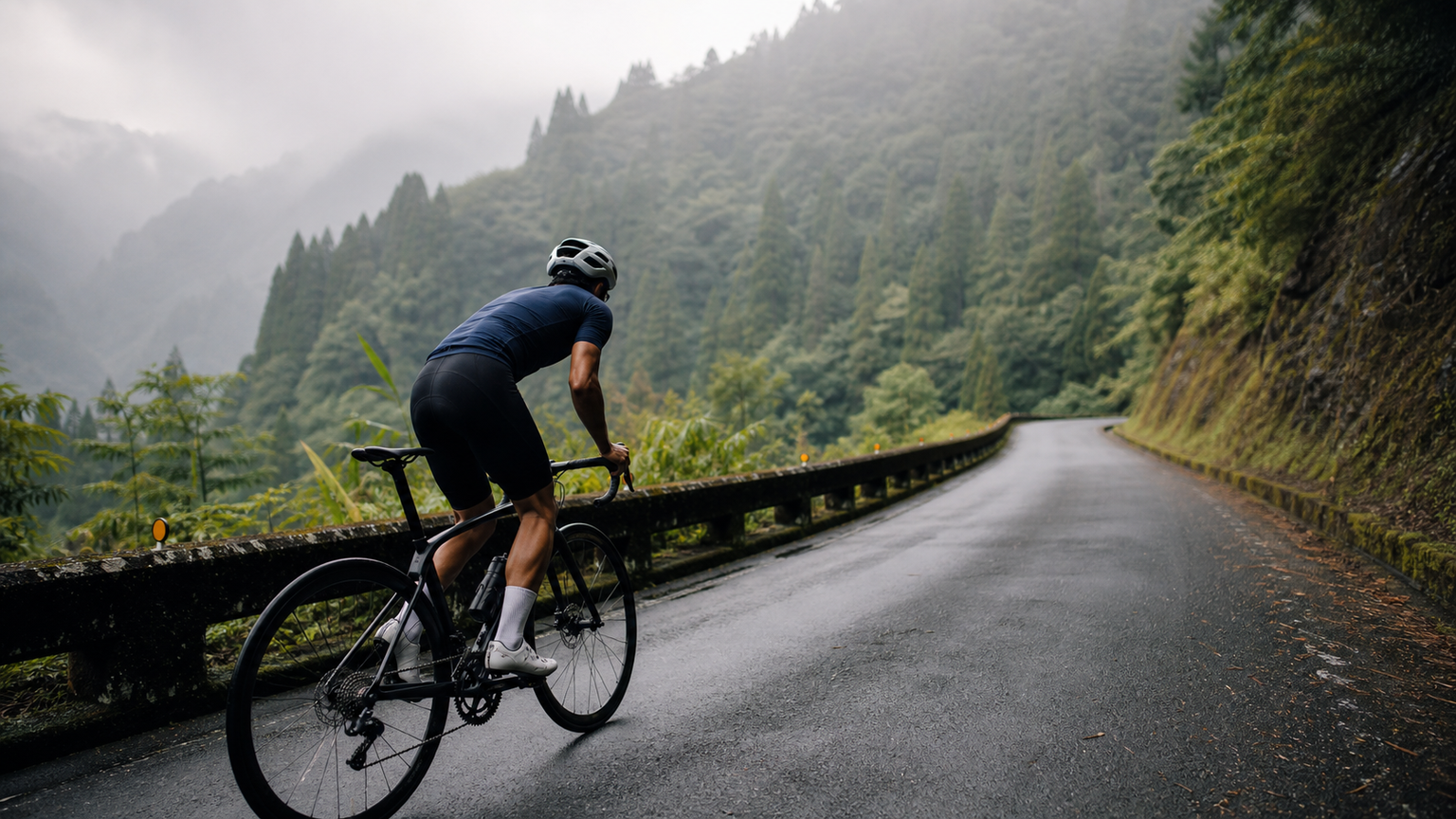
Alishan Highway Cycling Challenge: A Climbing Guide from Chiayi to Alishan
Provincial Highway 18 (the Alishan Highway) stretches from downtown Chiayi City all the way to Alishan National Scenic Area, covering roughly 74 km with over 2,400 m of cumulative elevation gain and finishing at an altitude of about 2,200 m. Known for its ever-changing gradients, dense misty forest scenery, and Taiwan’s alpine railway heritage, this route sits on the bucket list of many Taiwanese cycling enthusiasts.
Route Overview
| Item | Data |
|---|---|
| Start | In front of Chiayi Railway Station, Chiayi City |
| Finish | Alishan National Scenic Area Visitor Center |
| Total distance | Approx. 74 km |
| Cumulative climbing | Approx. 2,400 m |
| Finish elevation | Approx. 2,200 m |
| Recommended start time | 5:00–6:00 AM |
| Difficulty | Advanced (climbing experience required) |
Gradient Breakdown: Three Major Challenges
Section 1: Chiayi City to Zhuqi (0–18 km)
This section is almost entirely flat or gently rolling, making it the easiest warm-up stretch of the whole route. After passing through the center of Zhuqi Township, the climbing begins to be felt. It’s recommended to stop and resupply at the FamilyMart convenience store in Zhuqi — the last reliably stocked convenience store before you head deep into the mountains.
- Gradient: 1–3% average
- Highlights: Zhuqi Station (starting point of the Alishan Forest Railway), streetscape views
- Suggested pace: Pedal easy and conserve energy
Section 2: Around Fenqihu (18–52 km)
This is the most demanding section of the entire route. Past Zhuqi, the gradient steadily steepens, and especially between Ruili and Shizilu (roughly 42–52 km), grades often reach 8–12%. This long, unbroken climb has no rest stops along the way, testing both stamina and mental resolve.
- Gradient: 6–9% average, locally exceeding 12%
- Fenqihu (approx. 52 km): at about 1,400 m elevation, this is a key resupply point
- The Fenqihu commercial district offers boxed meals, hot food, and drinks — a good place to stock up heavily
Field tip: If your energy runs low on this stretch, many riders choose to turn back at Fenqihu. If you plan to reach the finish, make sure to keep about 30% of your energy in reserve before Fenqihu.
Section 3: Fenqihu to Alishan (52–74 km)
Past Fenqihu, the gradient eases slightly, but elevation keeps climbing, fog thickens, and temperatures drop noticeably. Once you pass through Shizhuo, Fengshan, and Shizilu, the road surface can be damp with occasional falling rocks, so watch the road conditions carefully.
- Gradient: 5–7% average
- Temperature: 10–15°C cooler than Chiayi
- Highlights: misty forest scenery with red cypress trees, sacred tree groves
Rest Stop Checklist
| Distance | Stop | Notes |
|---|---|---|
| 18 km | Zhuqi FamilyMart | Last reliable convenience store |
| 30 km | Fanlu Township food stalls | Available on weekends, unreliable on weekdays |
| 52 km | Fenqihu commercial district | Hot food, cold drinks, restrooms, rest area |
| 66 km | Shizhuo service station | Water refill |
| 74 km | Alishan Visitor Center | Finish line, with restaurants and lodging |
Weather and Seasonal Advice
- Best months: March to May (flower season, better visibility) and October to November (crisp autumn weather)
- Avoid: The typhoon season from June to August; afternoon thunderstorms are frequent in July and August, and flooded mountain roads can be dangerous
- Winter caution: Frost is possible at the summit from December to February. Wind chill on the descent can feel extremely cold, so warm clothing is essential
Gear Recommendations
Essentials
- Lightweight backpack or resupply vest: Rest stops are sparse in the mountains — bring at least two 500 ml drinks and 4–6 energy gels
- Front and rear lights: You’ll start early and pass through many tunnels (the Alishan Highway has more than 10), so a front light is especially important
- Warm layer: A light down jacket or windbreaker — the temperature at the finish may be as low as 8–12°C
- Emergency tools: Two spare inner tubes, a puncture repair kit, CO₂ inflator cartridges
Recommended Gearing
- Road bikes: At least a 34T chainring with an 11-32T cassette
- Climbers: A 28–30T chainring paired with a 34T+ cassette gives the most comfortable margin
Descent Precautions
The descent from Alishan covers over 70 km. If you head straight into a high-speed descent right after finishing the climb, keep the following in mind:
- Check your braking system: Test brake power before the climb; disc brake riders should check pad wear
- Slow down through tunnels: Tunnels are dark, the road surface is often damp, and temperatures drop sharply — keep your speed under 30 km/h
- Wear long sleeves and pants: Temperatures on the descent are low and the risk of injury in a fall is higher
- Avoid prolonged hard braking: This can overheat aluminum rims or disc rotors — use light, intermittent braking instead
Suggested Personal Challenge Plan
If this is your first attempt at the full length of Highway 18, here’s a two-day plan broken into segments:
Day 1: Chiayi City → Fenqihu (approx. 52 km, approx. 1,400 m climbing), stay overnight in Fenqihu
Day 2: Fenqihu → Alishan (approx. 22 km, approx. 800 m climbing), enjoy the Alishan scenery before heading back down
If you’re aiming to complete it in a single day, you should have the following baseline fitness:
- Ability to climb 2,000 m or more in a single day
- A record of consistent climbing training over the past month
- A start time no later than 6:00 AM
Conclusion
The appeal of the Alishan Highway isn’t just about the climbing numbers — it’s found in the slow-drifting clouds and mist, and among the towering red cypress trees lining the road, where you can feel the grandeur of Taiwan’s mountain forests. Every steep stretch is a test, and every turn may bring a fresh surprise. Complete this route, and you won’t just have conquered the altitude — you’ll have completed a true pilgrimage through Taiwan’s mountains.
Related Reading
- Chiayi Alishan Highway: The Complete Long-Distance Climbing Guide from Zhuqi to Alishan
- Alishan Highway Cycling Challenge: A Magnificent Climbing Journey from Chiayi to Alishan
- Alishan Highway Cycling Challenge: An Epic Climb from the Chiayi Plains to the Clouds
- Alishan Highway (Provincial Highway 18) Cycling Guide: A Pilgrimage from Chiayi to Alishan
半日 小台灣 極限單車路線挑戰實錄
7 年前
阿里山塔塔加 兩倍特濃版!全新隧道開通! 進喔!公路車 | CT Yeh
3 年前
梅山36彎 奮起湖 單車挑戰 下集 #公路車
6 年前
4K單車實境) 嘉義 梅山36灣 訓練台 爬坡 輕鬆騎
6 年前
一定要騎一次!阿里山最深處:里佳部落!單車旅行 | 2800m爬升 | 深度部落體驗:嗨翻晚會、螢火蟲、銀河 | feat. JJSC & 廢物伙伴 | 公路車 CT Yeh
9 個月前
里佳部落 阿里山單車深度旅遊! | 竹山/草嶺/來吉/奮起湖 | 無敵銀河絕景 全新路線探索! 驚險狀況百出! | 4K沉浸式畫質 | 公路車 | CT Yeh
3 年前
那瑪夏x茶山 阿里山系深山單車行 Day2 累積爬升6000M | 🥶超陡連續下坡 整路看隊友刷 | 爬升一座西進武嶺 | JJSC | 公路車 | CT Yeh
3 年前
嘉義單車路線推薦:碧湖山茶園超陡坡挑戰!里佳部落-奮起湖-瑞峰 (附路線)
7 個月前